- Oxna
-
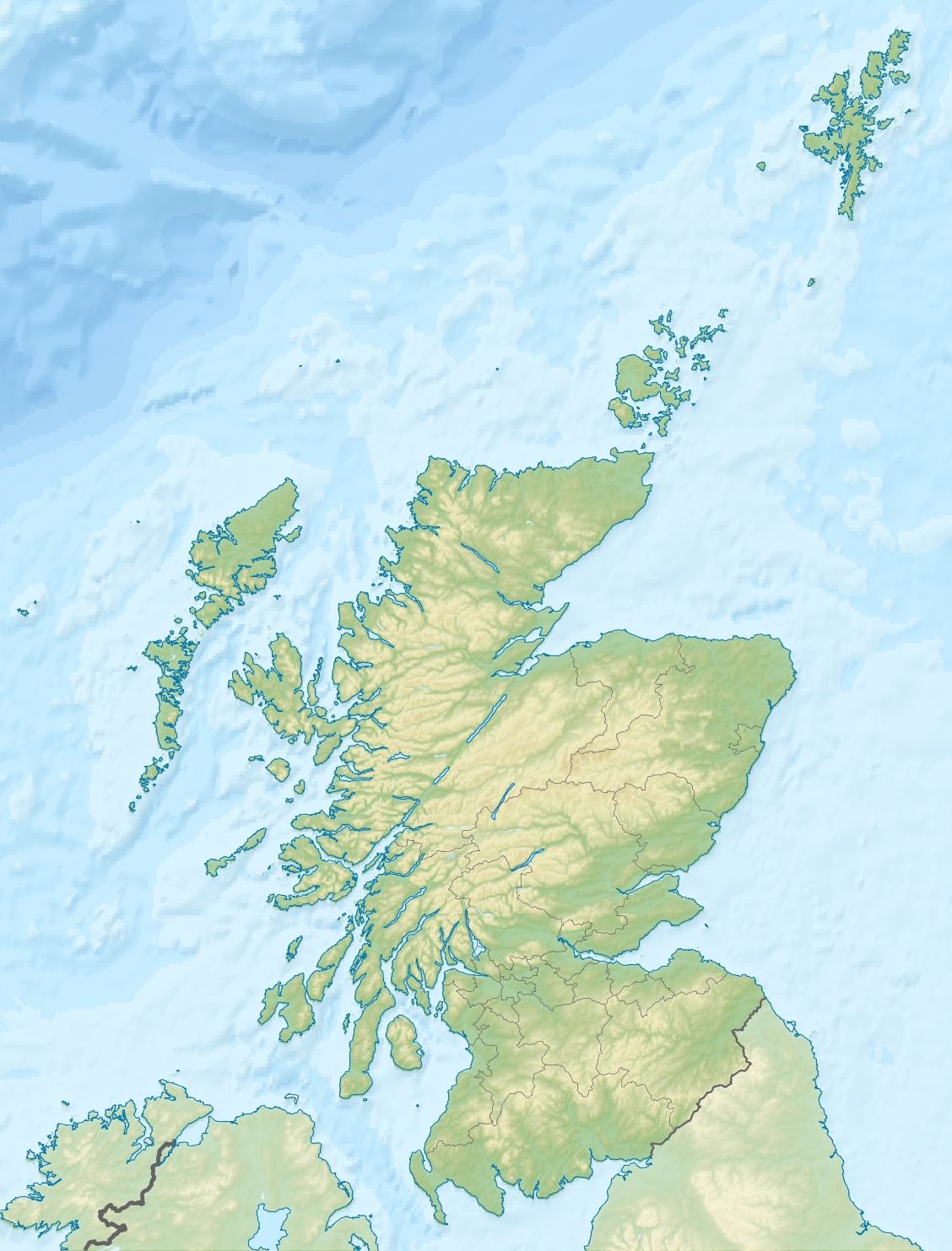
Oxna Location 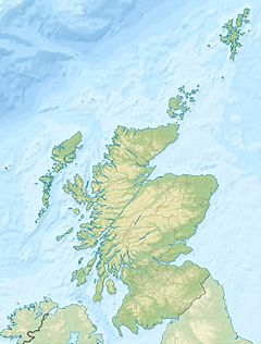
 Oxna
OxnaOxna shown within Scotland OS grid reference HU350372 Names Norse name yxn-øy Meaning of name "ox island" Area and summit Area 68 ha Area rank 175 Highest elevation 38 m Population Population 0 Groupings Island group Shetland Local Authority Shetland Islands 

References [1][2][3][4] If shown, area and population ranks are for all Scottish islands and all inhabited Scottish islands respectively. Population data is from 2001 census. Oxna is one of the Scalloway Islands, lying north west of Burra in Shetland, Scotland. Oxna has an area of 68 ha (168 acres).
The island has been uninhabited since World War I, but there is a house which is still used as a holiday home..
Papa island lies a few hundred metres to the east of Oxna's north coast.
References
- ^ 2001 UK Census per List of islands of Scotland
- ^ Haswell-Smith, Hamish (2004). The Scottish Islands. Edinburgh: Canongate. ISBN 1841954543.
- ^ Ordnance Survey. Get-a-map (Map). http://www.ordnancesurvey.co.uk/oswebsite/getamap/.
- ^ Anderson, Joseph (Ed.) (1893) Orkneyinga Saga. Translated by Jón A. Hjaltalin & Gilbert Goudie. Edinburgh. James Thin and Mercat Press (1990 reprint). ISBN 0-901824-25-9
Coordinates: 60°7′8″N 1°22′10″W / 60.11889°N 1.36944°W
Scalloway and South West Shetland Islands Burra (West-East) · Cheynies · Hildasay/Hildesay · Flotta · Greena · Green Holm · Hoy · Lady's Holm · Langa · Linga · Little Holm · North Havra · Oxna · Papa (West Head of Papa) · St Ninian's Isle · South Havra · Trondra ·Categories:- Shetland geography stubs
- Islands of Shetland
- Uninhabited islands of Shetland
- Former populated places in Scotland
Wikimedia Foundation. 2010.