- Malampuzha Dam
-
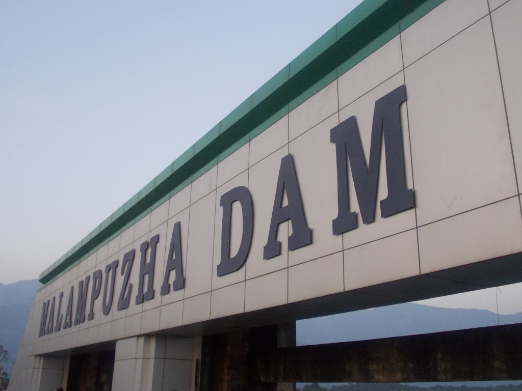
Malampuzha Dam 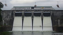
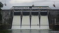
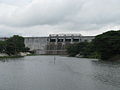
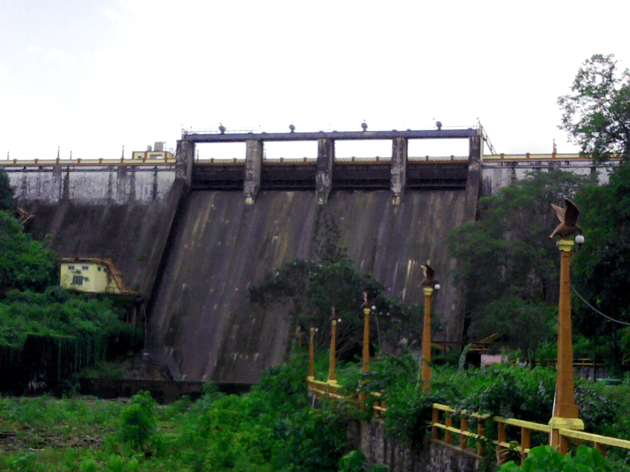
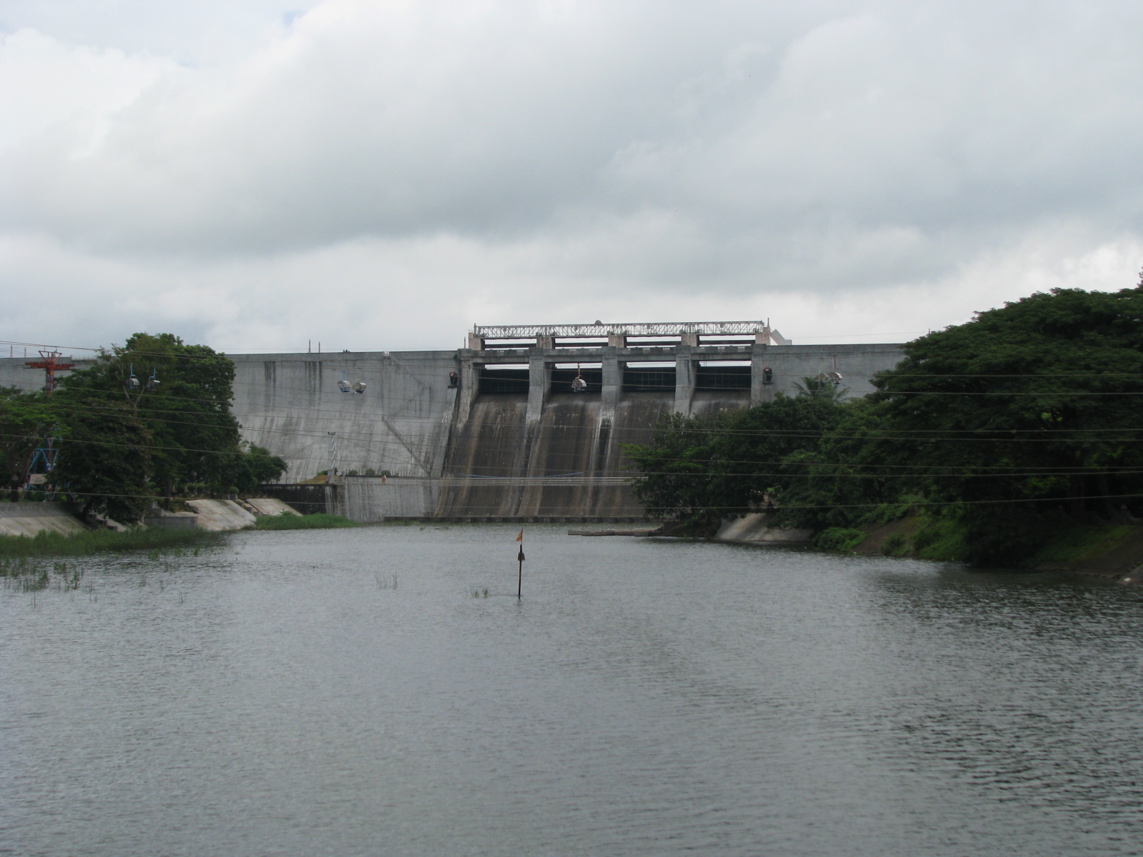
Malampuzha Dam and ReservoirOfficial name Malampuzha Dam Location Palakkad District, Kerala Construction began March 1949 Opening date 9 October 1955 Dam and spillways Height 115.06 m Length 2,069 m Impounds Malampuzha river Reservoir Creates Malampuzha Reservoir Capacity 236.69 cubic metres Catchment area 147.63 sq. km. Malampuzha Dam is the largest reservoir in Kerala, located near Palakkad in south India with the scenic hills of the Western Ghats in the background. It is a combination of a masonry dam with a length of 1,849 metres and an earthen dam with a length of 220 metres.[1] The dam is 6,066 feet high and crosses the Malampuzha River, a tributary of Bharathappuzha, Kerala's second longest river. There is a network of two canal systems that serve the dam's reservoir of 42,090 hectares.[2]
The dam project was begun in 1949 and completed in 1955. The total catchments area is 145 square kilometres, while the reservoir has a capacity of 8000 square meters of water. The canal systems serve to irrigate farm land while the reservoir provides drinking water to Palakkad and surrounding villages.[2]
Contents
See also
Footnotes
- ^ "Malampuzha dam to celebrate Golden Jubilee". Chennai, India: The Hindu. 2005-08-19. http://www.hindu.com/2005/08/19/stories/2005081910440300.htm. Retrieved 2008-02-05.
- ^ a b "Reservoir and irrigation - Malampuzha Dam". www.malampuzha.com. http://www.malampuzha.com/pages/8waterresources.htm. Retrieved 2008-02-05.
Picture Gallary
-
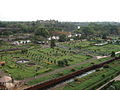
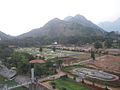
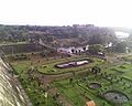
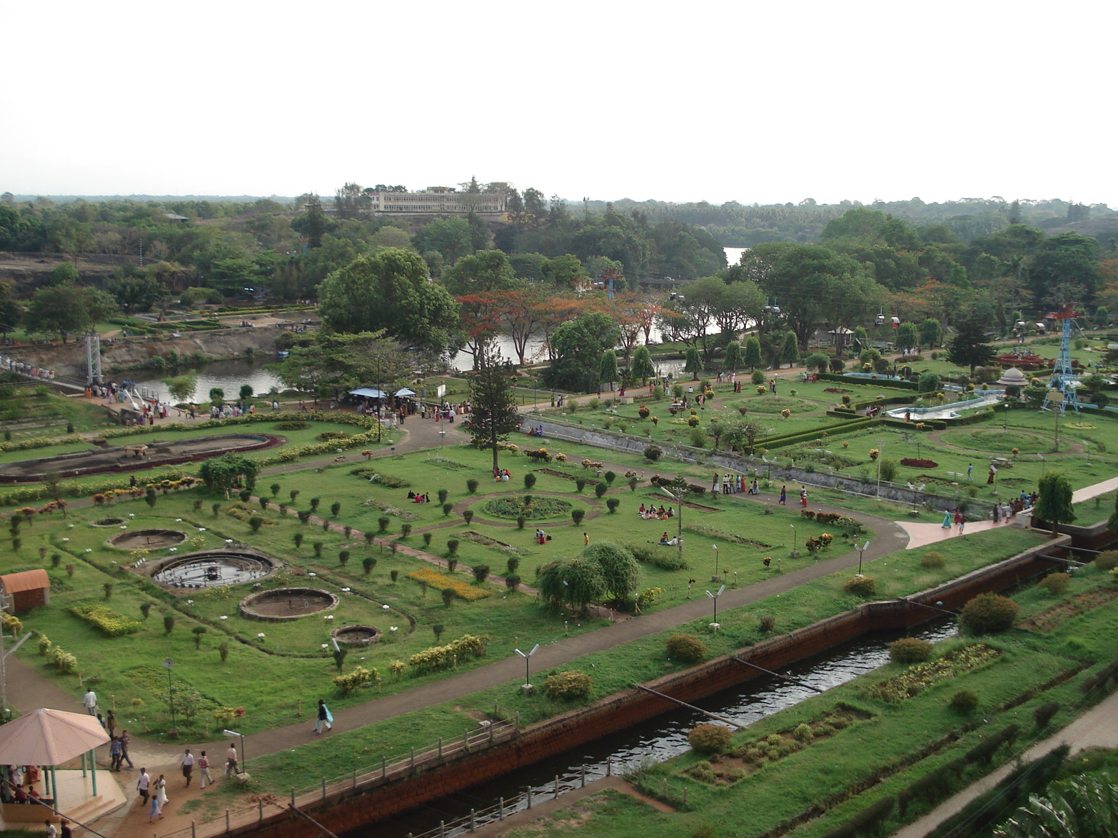
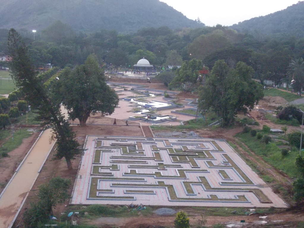
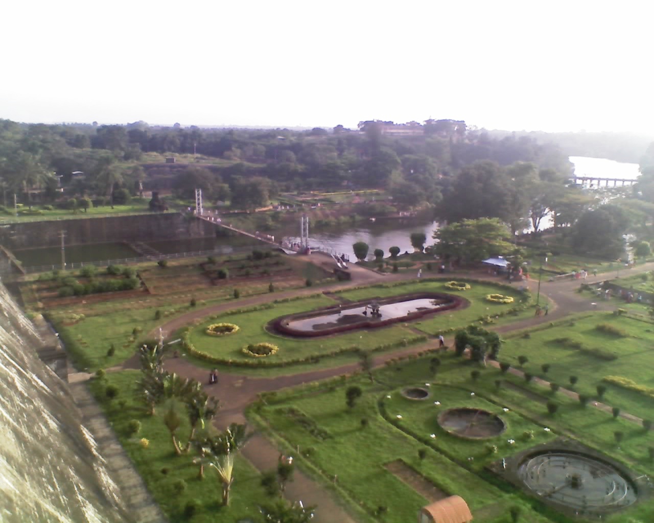
Malampuzha Garden
-

Malampuzha Dam
-

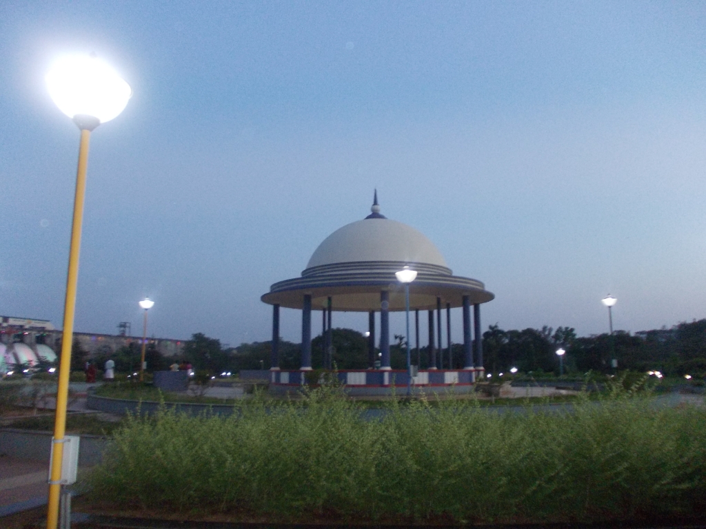
Dam at Night
-
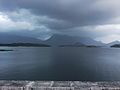
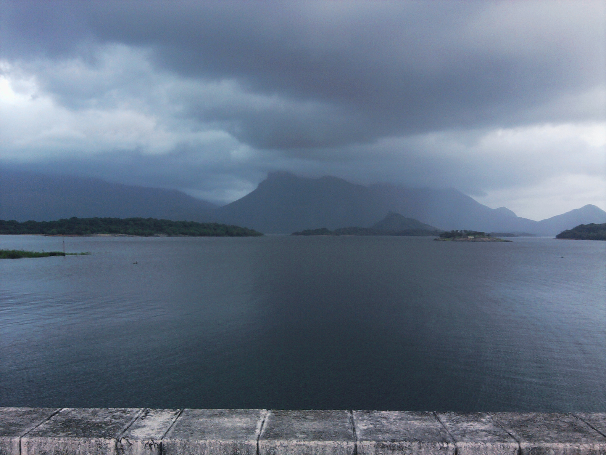
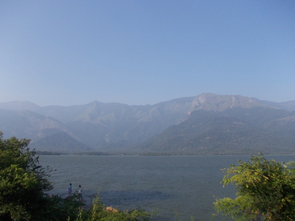
Malampuzha River
-
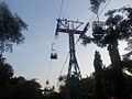
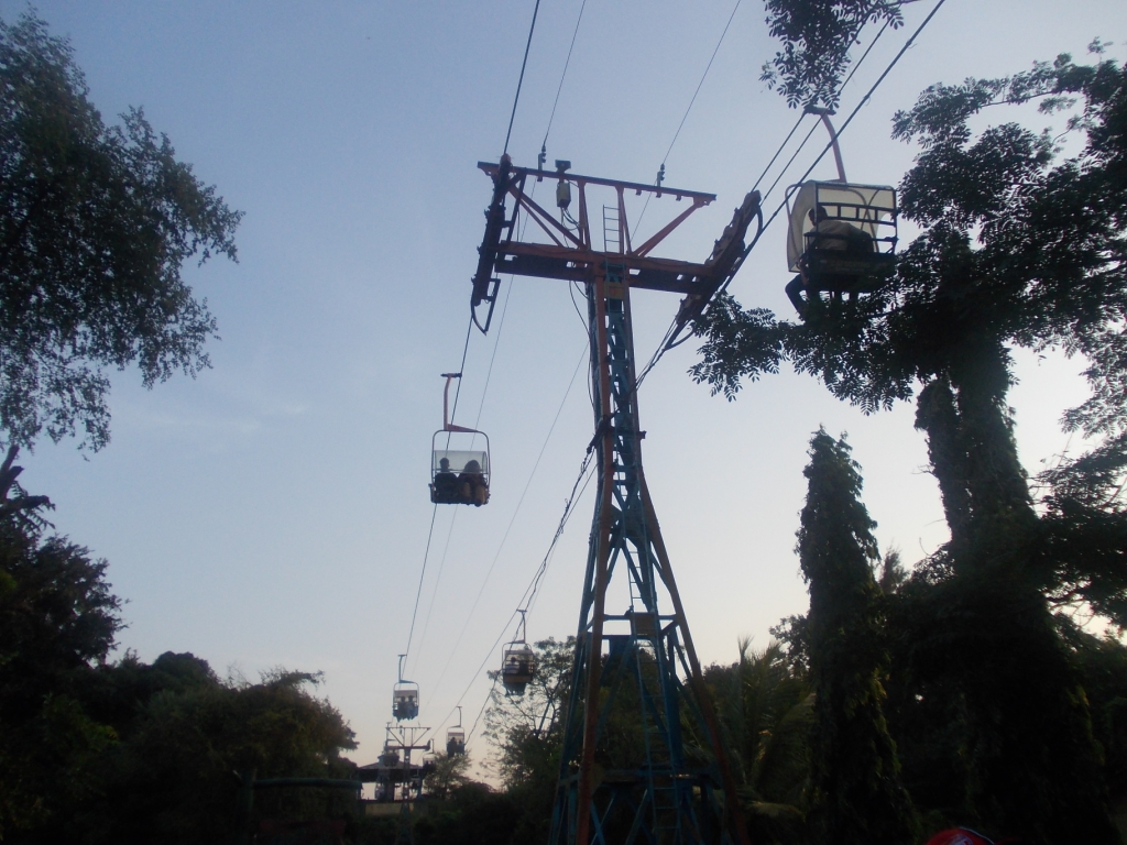
Malampuzha Ropeway
-
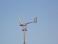
Wind Turbine
-

Malampuzha Garden
-
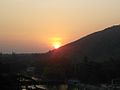
Malampuzha Dam in Sunset
-

Malampuzha River
-

Malampuzha River
-
Malampuzha River
-

Malampuzha River Board
-

Garden
-

Garden
-
thumb|Colour Dam
-

Night View
-

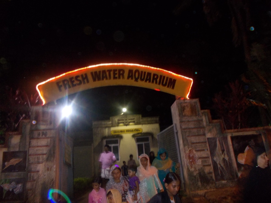
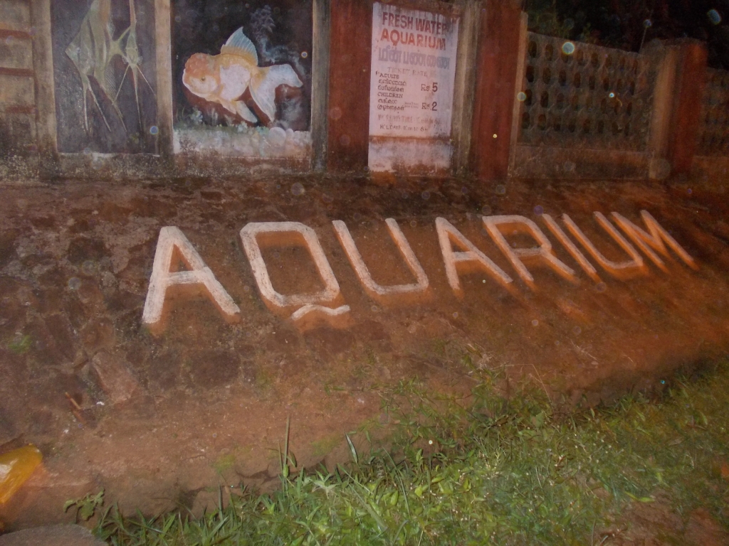
Aquarium
-

Aquarium
-

Malampuzha Dam
-
Malampuzha Dam
-

Entrance
-

Garden
-
Garden
-
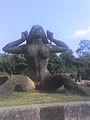
Yakshi scuplture
-
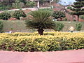
Garden
-
Garden
-
Dam
External links
- Malampuzha - Mountain River
- Prawn harvest 2006-2007
- Record water storage in Malampuzha dam in 2006
- Statewise and riverwise distribution of large dams
Coordinates: 10°49′49.8″N 76°41′1.5″E / 10.8305°N 76.68375°E
Categories:- Dams in Kerala
- Indian dam stubs
- Palakkad district geography stubs


Wikimedia Foundation. 2010.