- Mooselookmeguntic Lake
-
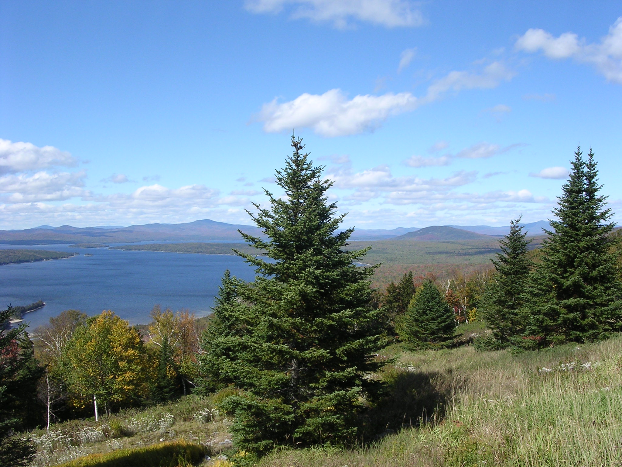
Mooselookmeguntic Lake 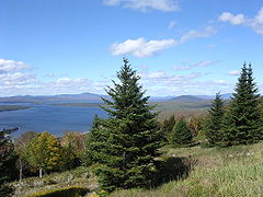
from a scenic overlook on Maine State Route 17 Location Franklin / Oxford counties, Maine, USA Coordinates 44°54′18″N 70°48′32″W / 44.905°N 70.80889°WCoordinates: 44°54′18″N 70°48′32″W / 44.905°N 70.80889°W Lake type mesotrophic Catchment area 389 sq mi (1,010 km2) Basin countries United States Surface area 16,300 acres (6,600 ha) Average depth 60 ft (18 m) Max. depth 132 ft (40 m) Water volume 562,121 acre·ft (693,366,000 m3) Residence time 1.1 years Shore length1 57.5 mi (92.5 km) Surface elevation 1,467 ft (447 m) Islands Toothaker Island, Students Island 1 Shore length is not a well-defined measure. Mooselookmeguntic Lake is located in Franklin County and Oxford County, Maine, in the United States. It is part of the Androscoggin River watershed.
Mooselookmeguntic Lake receives water from several sources. The Cupsuptic River flows into Cupsuptic Lake, which is directly connected with the northern part of Mooselookmeguntic Lake. The Rangeley River and Kennebago River both flow into northeastern Mooselookmeguntic Lake.
The lake's waters flow out to the southeast, into Upper Richardson Lake. There is a dam between the two lakes called "Upper Dam". The dam raised the level of Mooselookmeguntic Lake about 14 feet, causing it to become joined to Cupsuptic Lake forming a reservoir. The two lakes had been separate before the dam was built.
Mooselookmeguntic Lake's maximum depth is 132 feet (40 m) and its surface area is 25.5 square miles (66 km2).[1] It is the fourth largest lake in Maine. Mooselookmeguntic Lake's elevation is 1,467 feet (447 meters) above sea level.
There are two large islands in the southern portion of Mooselookmeguntic Lake called "Toothaker Island" and "Students Island".
The name "Mooselookmeguntic" is an Abnaki word for "moose feeding place"; although a humorous legend states that a Native American was hunting moose in the area, and spotted one. The native had forgotten to load his rifle, but took the shot anyway. Thinking his rifle was damaged, he began yelling at the moose about his misfortune.
Variant names listed by the USGS include "Mooselocmaguntic Lake" and "Mooselookmeguntick Lake". Mooselookmeguntic Lake is ranked as the 4th longest place name in the United States.
Chemquasabamticook, also known as Ross Lake, in Piscatiquis county is one letter longer. Chemquasabamticook is Abanaki for "where there is a large lake together with a river".
References
External links
Categories:- Reservoirs in Maine
- Lakes of Franklin County, Maine
- Lakes of Oxford County, Maine
- Maine geography stubs
Wikimedia Foundation. 2010.