- Broadkill River
Geobox River
name = Broadkill River
native_name =
other_name =
other_name1 =
image_size = 280
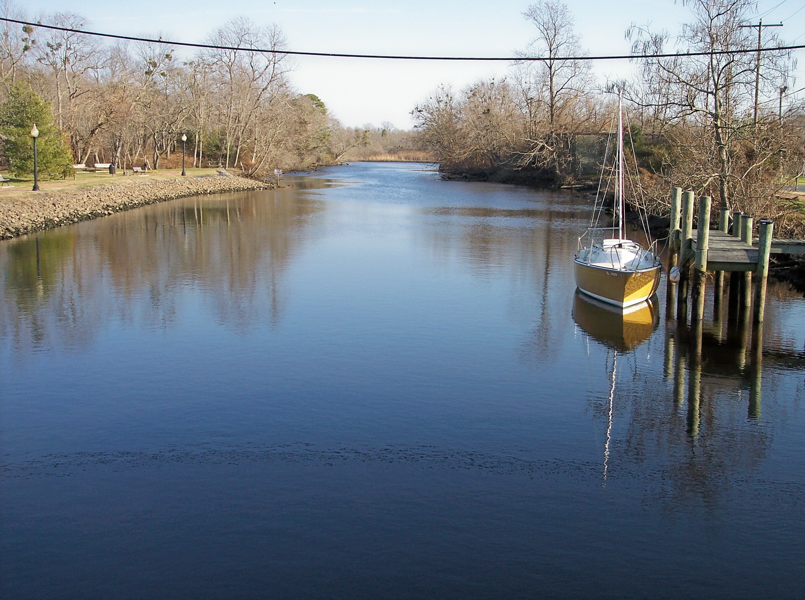
image_caption = The Broadkill River in Milton in 2006
image_first =
country = United States
country1 =
state = Delaware
state1 =
region =
region1 =
city =
city1 =
length =
length_imperial = 13.3
length_note =cite web |url=http://estuariesandcoasts.org/cdrom/CPSC1973_14_1_28_40.pdf | title=The Hydrography of the Broadkill River Estuary, Delaware | author = DeWitt, Piet | coauthors = Daiber, Franklin C. | work = Chesapeake Science, Vol. 14 No. 1 | year=1973 | month=March | accessdate=2007-02-04]
watershed =
watershed_imperial = 110
watershed_note =
discharge_location =
discharge_average =
discharge_average_imperial =
discharge_max =
discharge_max_imperial =
discharge_min =
discharge_min_imperial =
discharge1_location =
discharge1_average =
discharge1_average_imperial =
source_name = Wagamons Pond
source_location = Milton
source_location_note =
source_region =
source_country =
source_country1 =
source_lat_d = 38
source_lat_m = 46
source_lat_s = 37
source_lat_NS = N
source_long_d = 75
source_long_m = 18
source_long_s = 47
source_long_EW = W
source_coordinates_note =cite web |url=Gnis3|213715 |title=GNIS entry for Broadkill River (Feature ID #213715)|author=Geographic Names Information System|authorlink=Geographic Names Information System|accessdate=2007-02-04]
source_elevation =
source_elevation_imperial =
source_elevation_note =
source_length =
source_length_imperial =
source1_name =
source_meet =
mouth_name = Delaware Bay
mouth_location = northwest of Lewes
mouth_location_note =
mouth_country =
mouth_region =
mouth_country1 =
mouth_elevation =
mouth_elevation_imperial = 3
mouth_elevation_note =
mouth_lat_d = 38
mouth_lat_m = 47
mouth_lat_s = 25
mouth_lat_NS = N
mouth_long_d = 75
mouth_long_m = 09
mouth_long_s = 44
mouth_long_EW = W
mouth_coordinates_note =
tributary_left =
tributary_left1 =
tributary_right =
tributary_right1 =
map_size =
map_caption =
map_first =The Broadkill River is a river flowing to
Delaware Bay in southernDelaware in theUnited States . It is 13.3 miles (21 km) long and drains an area of 110 square miles (285 km²) on theAtlantic Coastal Plain .The Broadkill flows for its entire length in eastern Sussex County. It issues from Wagamons Pond in the town of Milton; the pond is fed by two tributaries known as Ingram Branch [cite web |url=Gnis3|214147 |title=GNIS entry for Ingram Branch (Feature ID #214147)|author=Geographic Names Information System|authorlink=Geographic Names Information System|accessdate=2007-02-04] and Pemberton Branch. [cite web |url=Gnis3|214434 |title=GNIS entry for Pemberton Branch (Feature ID #214434)|author=Geographic Names Information System|authorlink=Geographic Names Information System|accessdate=2007-02-04] From Milton, the Broadkill River flows generally eastwardly, passing through
wetland s andsalt marsh es in thePrime Hook National Wildlife Refuge . [cite web |url=http://www.fws.gov/northeast/primehook/ |title=Prime Hook National Wildlife Refuge |author= United States Fish and Wildlife Service |authorlink= United States Fish and Wildlife Service |accessdate=2007-02-04] After approaching to within one quarter mile (0.5 km) of Delaware Bay, the river parallels the shoreline a short distance inland for approximately two miles (3 km) before flowing into the bay, approximately one mile (1.6 km) northwest of Lewes. TheUnited States Coast Guard maintains a station near the mouth of the Broadkill. The mouth is connected toRehoboth Bay by theLewes and Rehoboth Canal , which forms part of theAtlantic Intracoastal Waterway . [DeLorme (2004). "Maryland Delaware Atlas & Gazetteer". pp.44-45. Yarmouth, Maine: DeLorme. ISBN 0-89933-279-X.]In the 19th century the river was the center of a regional
shipbuilding industry, arising from the access it furnished to inland forests; the industry fell into decline in the 1890s. [cite web |url=http://www.state.de.us/sos/dpa/markers/sc/SHIPBUILDING%20ON%20THE%20BROADKILL%20SC%20143.shtml |title= Shipbuilding on the Broadkill |author=State of Delaware |authorlink=Delaware |accessdate=2007-02-04]A footpath known as the Governors Walk follows the Broadkill in central Milton.
The Nature Conservancy established a preserve along the river downstream of Milton in 1998. [cite web |url=http://www.destateparks.com/greenway/traillist/traillist3.htm |title= Greenways & Trails |author= State of Delaware Department of Natural Resources and Environmental Control. Division of Parks and Recreation |accessdate=2007-02-04]As of 2005 , an annual canoe and kayak race was being held on the river in Milton. [cite web |url=http://www.miltonde.com/milton/festivals.html |title= Milton Fairs and Festivals |accessdate=2007-02-04]Variant names and spellings
The
United States Board on Geographic Names issued an opinion clarifying "Broadkill River" as the stream's name in 1961. According to theGeographic Names Information System , it has also been known historically as:
*Broad Creek
*Broad Kill
*Broad Kill Creek
*Broadkill Creek
*Broadkiln Creek
*Lewis Creekee also
*
List of Delaware rivers References
Wikimedia Foundation. 2010.