- Meat Cove, Nova Scotia
-
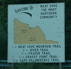 Welcome Sign at town line
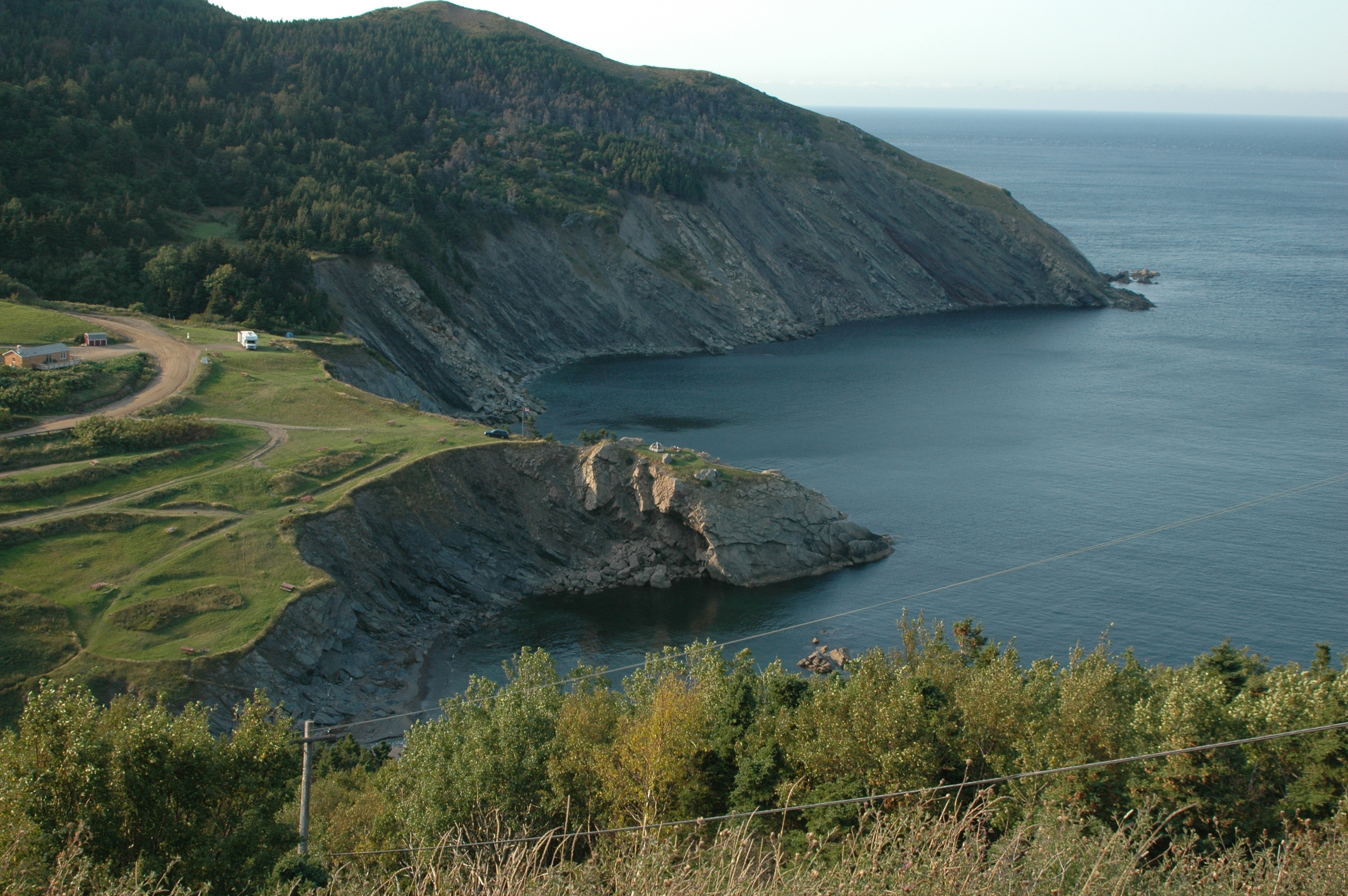
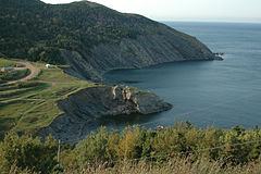 View from road above community
Meat Cove (Gaelic: Camus na Feòla) is a rural fishing community at the northern tip of Inverness County on Nova Scotia's Cape Breton Island. Fisherman fish for lobster in the months of May & July. After the lobster season they fish for crab.

Meat Cove is accessed on an unpaved road off the Cabot Trail. The approach is from the highlands down a steep road to the sparsely settled village in the cove. The permanent population is less than 100.
Meat Cove is the most northerly settlement in Nova Scotia and is located in the Sydney—Victoria federal electoral district.
Since Meat Cove is literally at the end of the road and accessible only by a dirt road, it is often used by wilderness campers as a starting point for the relatively short hike to Grassy Point, or the more arduous three or four day trek to Pollett's Cove, for which there is no marked trail for the majority of the journey.
Contents
Communications
- The Postal Code is B0C 1E0
- The Telephone exchange is 902-383
The name Meat Cove probably comes from fishing fleets using the natural protected cove to come ashore and hunt moose to replenish their supplies. MacLellans and Frasers have lived in Meat Cove for generations. During the last forty years a number of US and central Canadian residents have lived in the village for various lengths of time.
The name Meat Cove, came from the smell of cooking meat that sailors could catch down wind as they approached the cove from many miles away. The cove was a place to lay away and hunt and get fresh water before sailing on.
Another story of the name Meat Cove came from the geographic features of the site. It's said that Indians used to drive deer over the cliffs above the cove in a coordinated hunt to build up their supply of meat.
On Saturday August 21, 2010, torrential rains washed away parts of the only access road to Meat Cove leaving several unable to get away from the remote community. According to local sources, the bridge repair was completed as of October 21, 2010.
Trivia
In a 2003 storyline, the main characters in Get Fuzzy went to Meat Cove as part of a vacation to Nova Scotia, the premise being that the character Rob had adopted his dog Satchel from a breeder there as a puppy and Satchel wanted to meet his canine parents. Satchel pronounced it "Good...less meat than I thought there would be though".[1]
References
- ^ Conley, Darby (2003-11-26). "Get Fuzzy Archive". http://freegetfuzzyarchive.tripod.com/sitebuildercontent/sitebuilderpictures/11-26-03.gif. Retrieved 2010-07-20.
External links
Coordinates: 47°01′23″N 60°33′46″W / 47.02306°N 60.56278°W
Categories:- Communities in Inverness County, Nova Scotia
- General Service Areas in Nova Scotia


Wikimedia Foundation. 2010.