- La Vallée-du-Richelieu Regional County Municipality, Quebec
Infobox Settlement
name = La Vallée-du-Richelieu
(Quebec)
settlement_type =Regional County Municipality 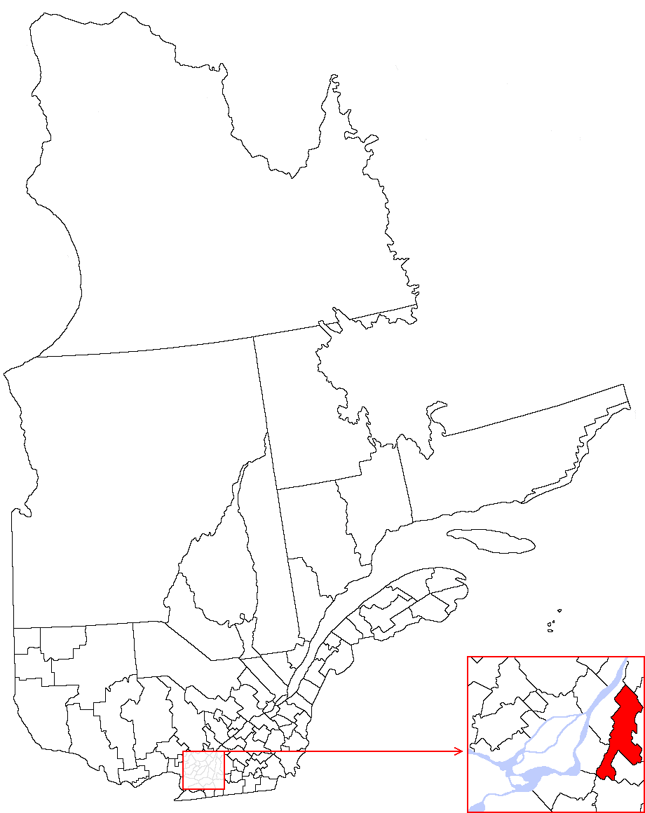
imagesize = 270px
image_caption =
subdivision_type = Country
subdivision_name = CAN
subdivision_type1 = Province
subdivision_name1 = QC
subdivision_type2 = Region
subdivision_name2 =Montérégie
established_title =Incorporated
established_date =01 Jan, 1982
area_magnitude =
unit_pref =
area_footnotes =
area_total_km2 =
area_land_km2 = 588.89
area_water_km2 =
area_total_sq_mi =
area_land_sq_mi =
area_water_sq_mi =
area_water_percent =
area_urban_km2 =
area_urban_sq_mi =
area_metro_km2 =
area_metro_sq_mi =
population_as_of = 2006
population_footnotes =
population_note =
population_total = 106762
population_density_km2 = 181.3
population_density_sq_mi =
population_metro =
population_density_metro_km2 =
population_density_metro_sq_mi =
population_urban =
population_density_urban_km2 =
population_density_urban_sq_mi =
population_blank1_title =Change ~2001
population_blank1 =+11.0%
population_blank2_title =Dwellings
population_blank2 =41531
population_density_blank1_km2 =
population_density_blank1_sq_mi =
timezone = Eastern
utc_offset = -5
timezone_DST =
utc_offset_DST =
coor_type = 255, boul. Laurier, McMasterville
latd=45 |latm=32 |lats=51 |latNS=N
longd=73 |longm=13 |longs=39 |longEW=W
elevation_footnotes =
elevation_m =
elevation_ft =
blank_name =
blank_info =
blank1_name =
blank1_info =
website = [http://www.vallee-du-richelieu.ca/ www.vallee-du-richelieu.ca]
footnotes =La Valée-du-Richelieu "(The Valley of the Richelieu)" is a Regional County Municipality in southwestern
Quebec ,Canada . It surrounds the Richelieu River as the river makes its way fromLake Champlain in theUnited States north to theSaint Lawrence River northeast ofMontreal ,Canada at Sorel,Quebec . Dramatically different from the mountainous terrain to the south, the river valley is a vast plain with extensive farmlands. Its seat is in Belil.The river itself is very popular for both U.S. and Canadian recreational boaters, providing a connection that can bring boaters all the way from the outlet of the Saint Lawrence River to
New York Harbor . A number of old fortifications existed dating back to the1600s ; these were built to prevent theIroquois from using the river as a way to attack the French settlers in the area.Communities
*Cities and Towns
**Beloeil
**Carignan
**Chambly
**Mont-Saint-Hilaire
**Otterburn Park
**Saint-Basile-le-Grand*Municipalities
**McMasterville
**Saint-Antoine-sur-Richelieu
**Saint-Charles-sur-Richelieu
**Saint-Denis-sur-Richelieu
**Saint-Jean-Baptiste
**Saint-Marc-sur-Richelieu
**Saint-Mathieu-de-BeloeilDemographics
Mother tongue language from
Canada 2006 Census References
* [http://www.mamr.gouv.qc.ca/accueil.asp/ Affaires Municipales et Regions Quebec]
* [http://www12.statcan.ca/english/census06/data/profiles/community/Index.cfm?Lang=E/ Statistics Canada]External links
* [http://parkscanada.pch.gc.ca/lhn-nhs/qc/fortchambly/natcul/histo2_e.asp Fort Richelieu official site]
Wikimedia Foundation. 2010.