- Ottenbach, Switzerland
-
For the German town, see Ottenbach, Germany.
Ottenbach 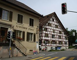
Country Switzerland 
Canton Zurich District Affoltern 47°17′N 8°24′E / 47.283°N 8.4°ECoordinates: 47°17′N 8°24′E / 47.283°N 8.4°E Population 2,412 (Dec 2010)[1] - Density 484 /km2 (1,254 /sq mi) Area 5.01 km2 (1.93 sq mi)[2] Elevation 409 m (1,342 ft) Postal code 8913 SFOS number 0011 Surrounded by Affoltern am Albis, Aristau (AG), Jonen (AG), Merenschwand (AG), Obfelden Website www.ottenbach.ch
SFSO statistics
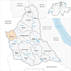
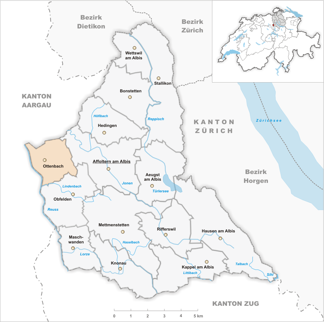
 OttenbachMap of Ottenbach
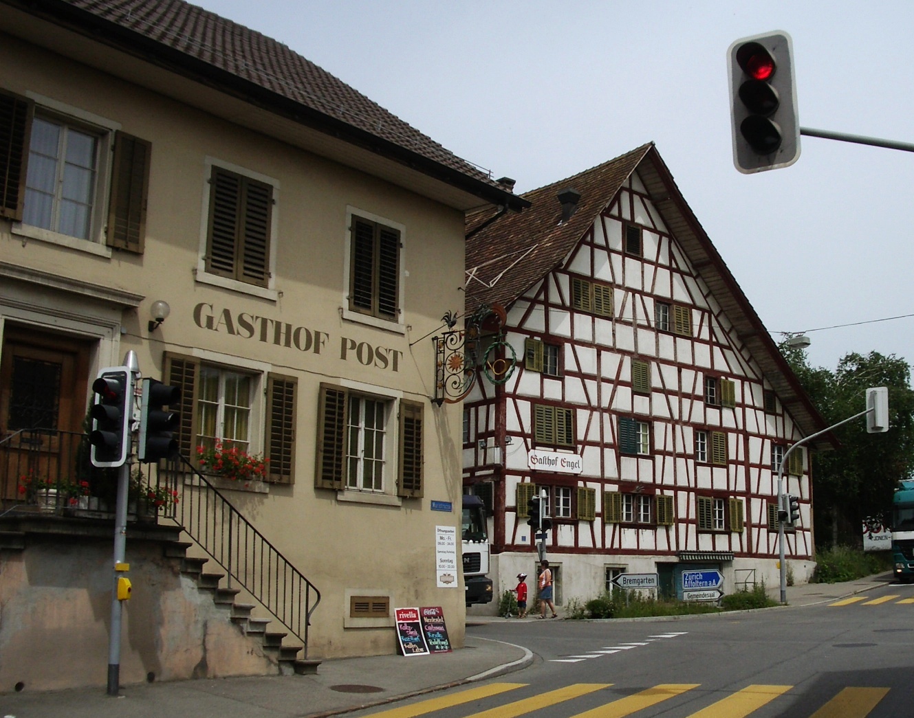
Ottenbach is a municipality in the district of Affoltern in the canton of Zürich in Switzerland.
Contents
History
Ottenbach is first mentioned in 831 as in loco vocato marcha Hotumbacharia. In 1169 it was mentioned as Arnoldus de Ottonbac.[3]
Geography
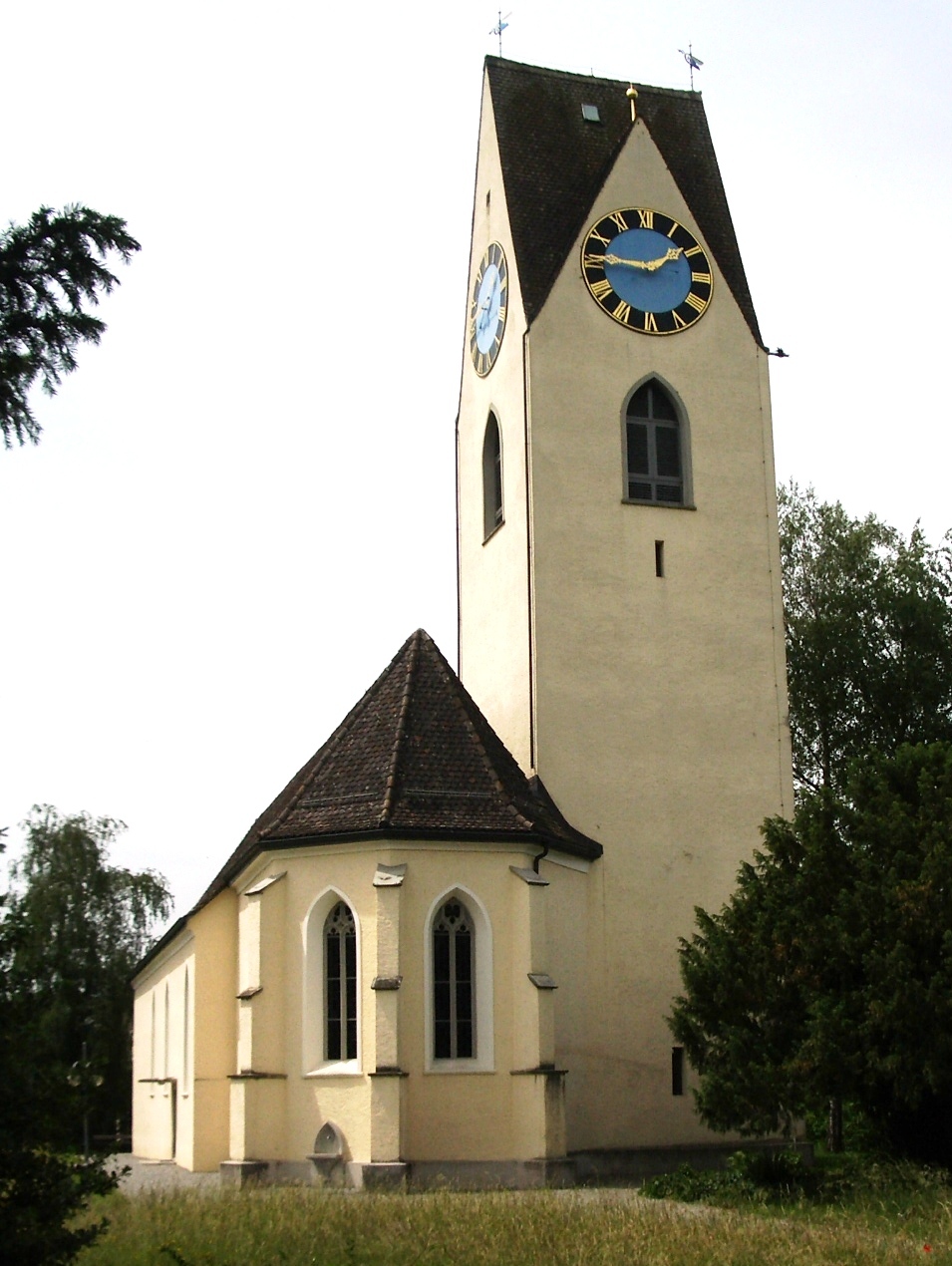
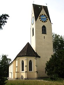 Protestant church
Ottenbach has an area of 5 km2 (1.9 sq mi). Of this area, 56.4% is used for agricultural purposes, while 20.7% is forested. Of the rest of the land, 19.1% is settled (buildings or roads) and the remainder (3.8%) is non-productive (rivers, glaciers or mountains).[4]
It is located near the Reuss River on the border with the Canton of Aargau.
Demographics
Ottenbach has a population (as of 31 December 2010) of 2,412.[1] As of 2007[update], 7.3% of the population was made up of foreign nationals. Over the last 10 years the population has grown at a rate of 5.5%. Most of the population (as of 2000[update]) speaks German (93.6%), with Italian being second most common ( 1.7%) and English being third ( 1.0%).
In the 2007 election the most popular party was the SVP which received 34.1% of the vote. The next three most popular parties were the SPS (20%), the FDP (15.5%) and the Green Party (11.2%).
The age distribution of the population (as of 2000[update]) is children and teenagers (0–19 years old) make up 26.1% of the population, while adults (20–64 years old) make up 64.4% and seniors (over 64 years old) make up 9.6%. In Ottenbach about 84.9% of the population (between age 25-64) have completed either non-mandatory upper secondary education or additional higher education (either university or a Fachhochschule).
Ottenbach has an unemployment rate of 2.04%. As of 2005[update], there were 47 people employed in the primary economic sector and about 21 businesses involved in this sector. 144 people are employed in the secondary sector and there are 19 businesses in this sector. 388 people are employed in the tertiary sector, with 82 businesses in this sector.[4] The historical population is given in the following table:[3]
year population 1467 22 Households 1650 320 1850 1,169 1900 1,107 1950 971 2000 2,164 References
- ^ a b Canton of Zurich Statistical Office (German) accessed 29 March 2011
- ^ Arealstatistik Standard - Gemeindedaten nach 4 Hauptbereichen
- ^ a b Ottenbach in German, French and Italian in the online Historical Dictionary of Switzerland.
- ^ a b Swiss Federal Statistical Office accessed 24-Jul-2009
External links
- Official website (German)
Aeugst am Albis · Affoltern am Albis · Bonstetten · Hausen am Albis · Hedingen · Kappel am Albis · Knonau · Maschwanden · Mettmenstetten · Obfelden · Ottenbach · Rifferswil · Stallikon · Wettswil am Albis


Wikimedia Foundation. 2010.