- Sajlovo
-
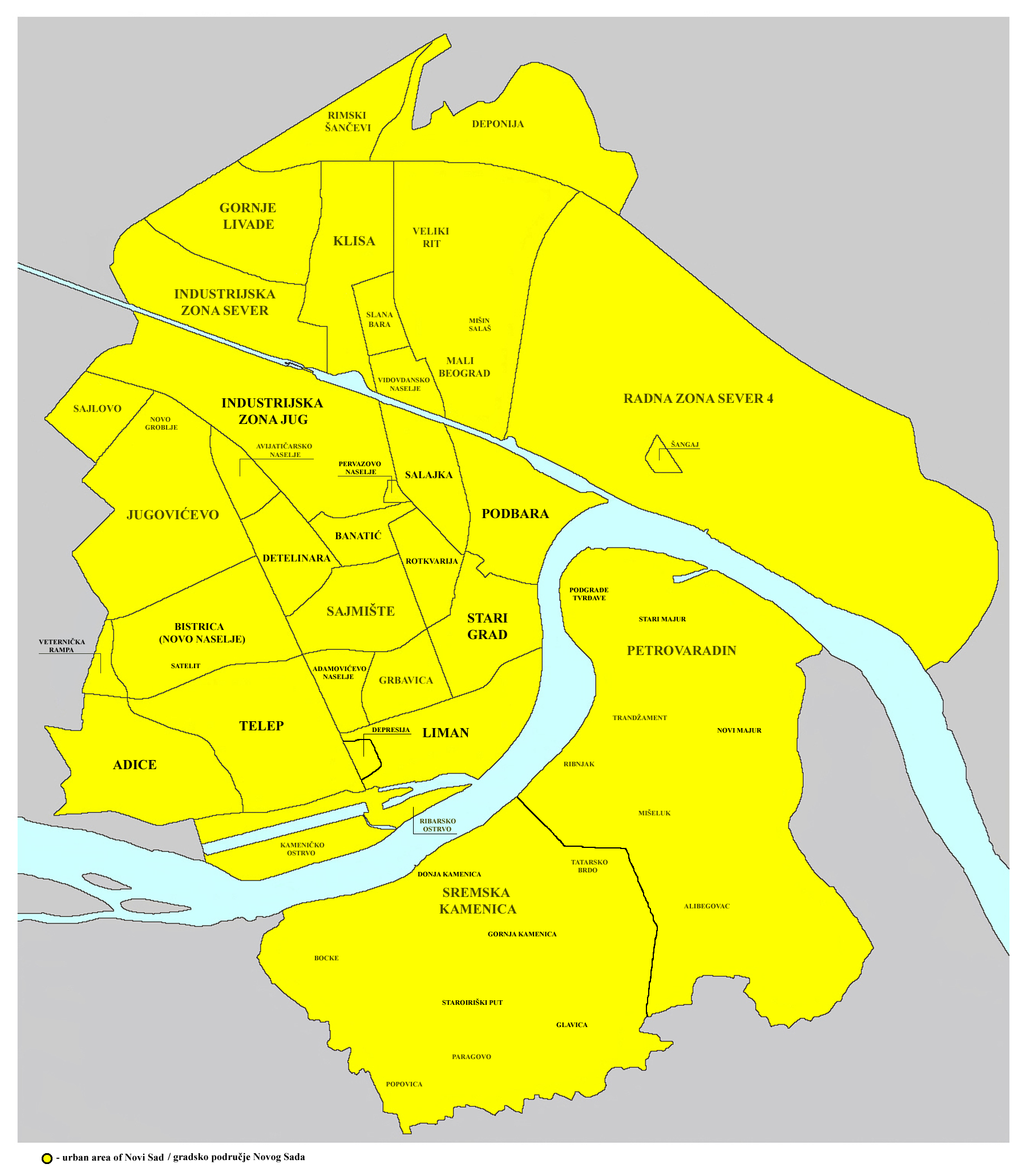
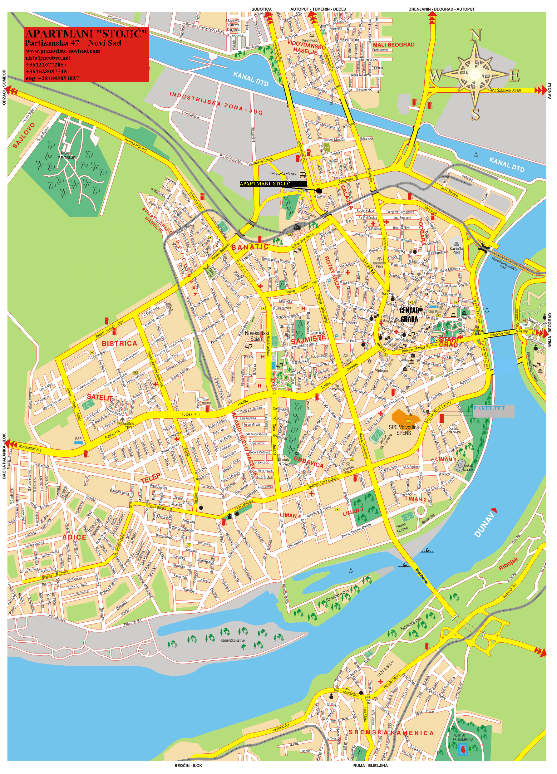
 Map of the urban area of Novi Sad with city quarters, showing the location of Sajlovo
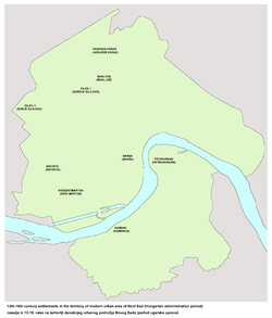 Medieval settlement of Donje Sajlovo in the location of modern Sajlovo
Sajlovo (Serbian Cyrillic: Сајлово, Hungarian: Zajol) or Donje Sajlovo (Serbian Cyrillic: Доње Сајлово) is a neighborhood of the city of Novi Sad in Serbia.
Contents
History
In 1237, two villages with name Sajlovo (Hungarian: Zajol), Donje Sajlovo and Gornje Sajlovo, were mentioned to exist in this area. The original name of these settlements was Isailovo. Settlements were named after monk Isaija from nearby monastery that existed in the 12th century in the east of Rumenka. Name Sajlovo/Isailovo is of Slavic origin, which indicate that these settlements were initially inhabited by Slavs.
Later, this settlement ceased to exist and in the 19th and beginning of the 20th century Zajoli SCHNEIDER (Schneider de Zajol - Snajder) noble family lived in "zajoli puszta" (plain of Zajol - plain of Sajlovo).
Modern settlement of Sajlovo was mostly settled during 1990s with Serb refugees from parts of former Yugoslavia.
Borders
The north-eastern border of Sajlovo is Rumenački put (Rumenka Road), the south-eastern border is ulica Donje Sajlovo (Donje Sajlovo Street), and the western border is a western city limit of Novi Sad.
Neighbouring city quarters
The neighbouring city quarters are: Jugovićevo in the south-east, and Industrijska Zona Jug in the north-east.
References
- Branko Ćurčin, Slana Bara nekad i sad, Novi Sad, 2002.
- Jovan Mirosavljević, Brevijar ulica Novog Sada 1745-2001, Novi Sad, 2002.
- Zoran Rapajić, Novi Sad bez tajni, Beograd, 2002.
See also
- Neighborhoods of Novi Sad
External links
- Sajlovo images
- Brujalo celo Sajlovo (in Serbian)
- Sajlovo 1940 (in Serbian)
- Detailed map of Novi Sad and Sajlovo
-

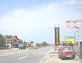
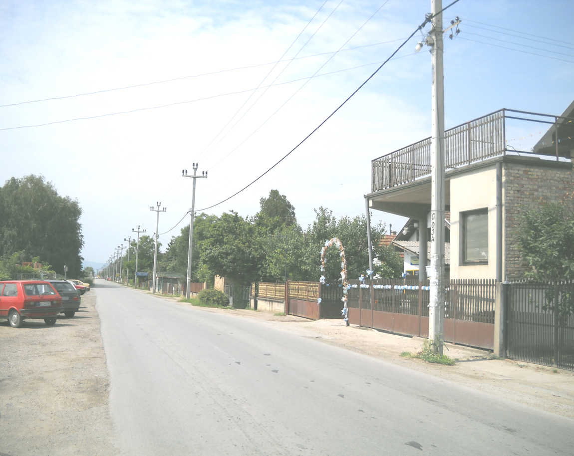
Sajlovo, Donje Sajlovo street
-

Sajlovo, Donje Sajlovo street
-
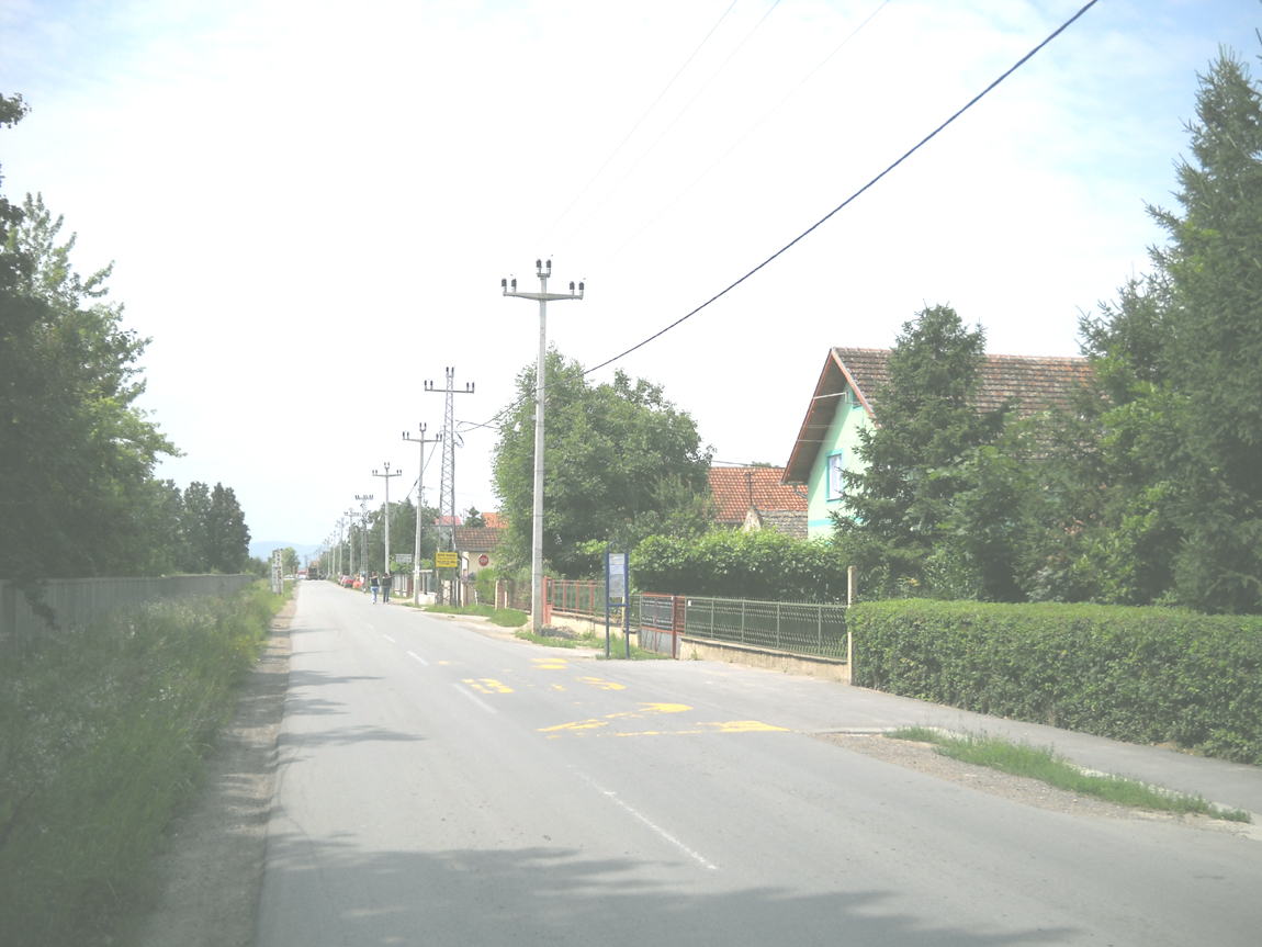
Sajlovo, Rumenački put (Rumenka road)
Categories:- Novi Sad neighborhoods


Wikimedia Foundation. 2010.