CabriniBoulevard (Manhattan) — CabriniBoulevardspansthetheManhattanneighborhoodofHudsonHeights, runningfrom177thStreetinthesouth, neartheGeorgeWashingtonBridge, toFortTryonParkinthenorth, alonganescarpmentofManhattanschistoverlookingtheHenry… … Wikipedia
MurrayHill, Manhattan — StudioinMurrayHillMurrayHillisaMidtownManhattanneighborhoodinNewYorkCity, USA. Around1987manyrealestatepromotersoftheneighborhoodandnewerresidentsdescribedtheboundariesaswithinEast34thStreet, East42ndStreet,… … Wikipedia
CentralPark — Infoboxparkpark=CentralParkimagesize=275pxcaption=TheLakeandBowBridgetype=Urbanparklocation=Manhattan, NewYorkCitycoordinates=coord|40|46|55|N|73|57|58|W|display=title,inline|region:UStype:landmark|name=CentralParksizeacre=843 … Wikipedia
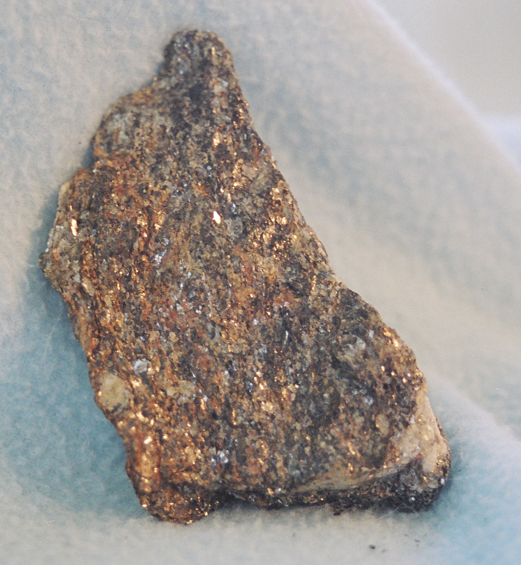
 Sample of Manhattan schist
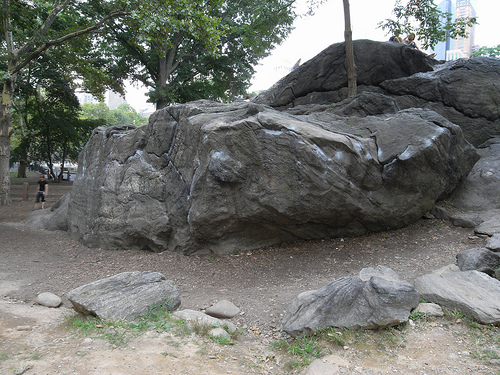
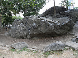 Rat Rock