- Nitrianska Blatnica
-
Nitrianska Blatnica Village 
Country Slovakia Region Nitra District Topoľčany Elevation 242 m (794 ft) Coordinates 48°33′10″N 17°58′0″E / 48.55278°N 17.966667°E Area 14.39 km2 (5.56 sq mi) Population 1,207 (2004-12-31) Density 84 / km2 (218 / sq mi) Postal code 956 04 Area code +421-38 Car plate TO 

 Location of Nitrianska Blatnica in Slovakia
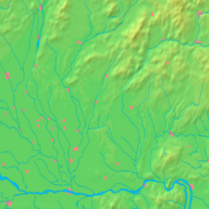
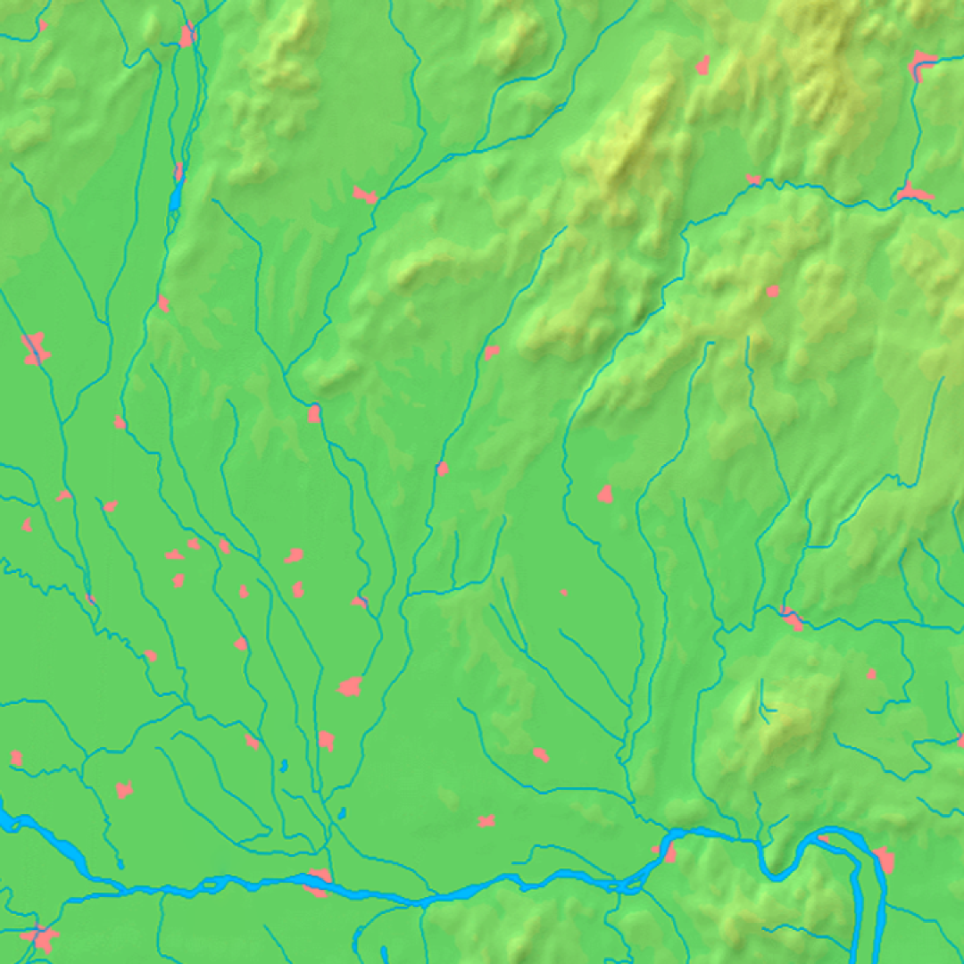
 Location of Nitrianska Blatnica in the Nitra Region
Wikimedia Commons: Nitrianska Blatnica Statistics: MOŠ/MIS Nitrianska Blatnica is a municipality with 1,207 inhabitants in the Topoľčany District of the Nitra Region, Slovakia. In the hills above the village is a church of Saint George /rotunda svätého Juraja/, from 9th and 10th century, one of the oldest remaining church buildings in Slovakia.
Topoľčany
Ardanovce · Belince · Biskupová · Blesovce · Bojná · Čeľadince · Čermany · Dvorany nad Nitrou · Hajná Nová Ves · Horné Chlebany · Horné Obdokovce · Horné Štitáre · Hrušovany · Chrabrany · Jacovce · Kamanová · Koniarovce · Kovarce · Krnča · Krtovce · Krušovce · Kuzmice · Lipovník · Ludanice · Lužany · Malé Ripňany · Nemčice · Nemečky · Nitrianska Blatnica · Nitrianska Streda · Norovce · Oponice · Orešany · Podhradie · Prašice · Práznovce · Preseľany · Radošina · Rajčany · Solčany · Solčianky · Súlovce · Svrbice · Šalgovce · Tesáre · Tovarníky · Tvrdomestice · Urmince · Velušovce · Veľké Dvorany · Veľké Ripňany · Vozokany · Závada Categories:
- Nitra Region geography stubs
- Villages and municipalities in Topoľčany District


Wikimedia Foundation. 2010.