- Monzambano
-
Monzambano — Comune — Comune di Monzambano 
Coat of armsLocation of Monzambano in Italy
 Monzambano
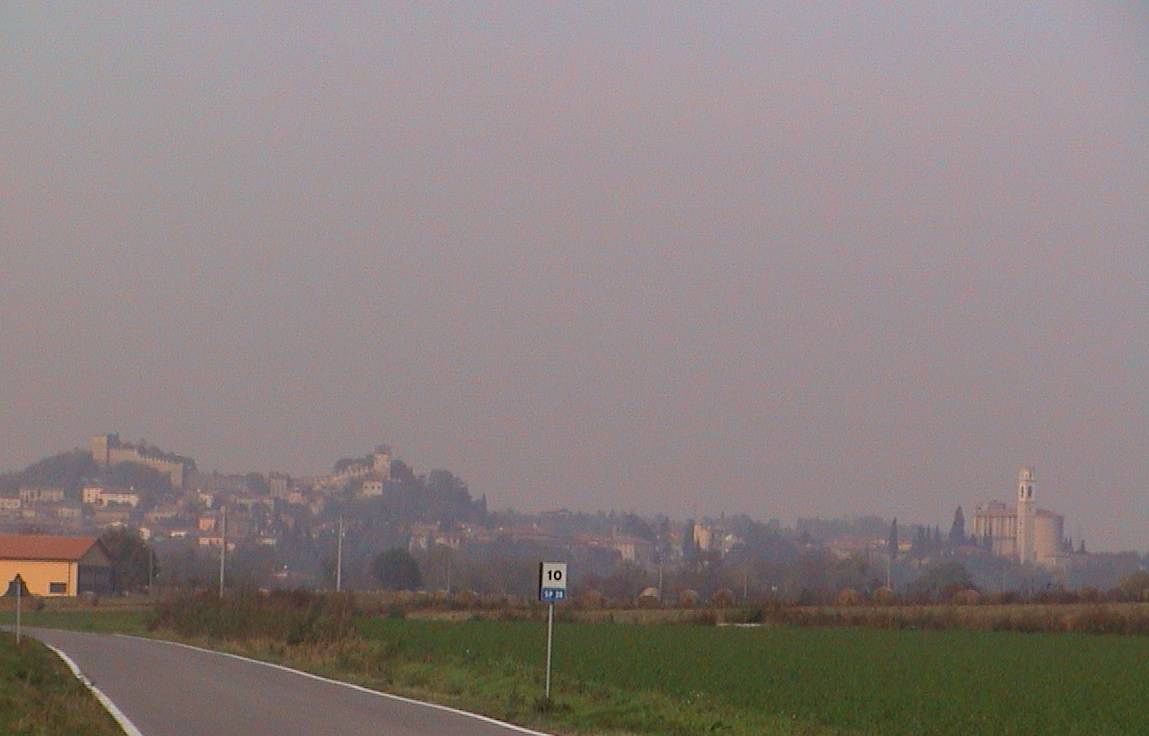
Coordinates: 45°23′N 10°42′E / 45.383°N 10.7°ECoordinates: 45°23′N 10°42′E / 45.383°N 10.7°E Country Italy Region Lombardy Province Mantua (MN) Frazioni Castellaro Lagusello, Pille, Olfino Government – Mayor Maurizio Pellizzer Area – Total 29.9 km2 (11.5 sq mi) Population (Dec. 2004)[1] – Total 4,721 – Density 157.9/km2 (408.9/sq mi) Demonym Monzambanesi Time zone CET (UTC+1) – Summer (DST) CEST (UTC+2) Postal code 46040 Dialing code 0376 Patron saint St. Bartholomew Website Official website Monzambano is a comune (municipality) in the Province of Mantua in the Italian region Lombardy, located about 120 km east of Milan and about 25 km northwest of Mantua.
World heritage site
It is home to one or more prehistoric pile-dwelling (or stilt house) settlements that are part of the Prehistoric Pile dwellings around the Alps UNESCO World Heritage Site.[2]
References
- ^ All demographics and other statistics: Italian statistical institute Istat.
- ^ UNESCO World Heritage Site - Prehistoric Pile dwellings around the Alps
External links
Categories:- Cities and towns in Lombardy
- Communes of the Province of Mantua
- Province of Mantua geography stubs

Wikimedia Foundation. 2010.