- Nembro
-
Nembro — Comune — Comune di Nembro Nembro 
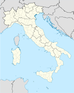
Coat of armsLocation of Nembro in Italy Coordinates: 45°45′N 9°46′E / 45.75°N 9.767°ECoordinates: 45°45′N 9°46′E / 45.75°N 9.767°E Country Italy Region Lombardy Province Bergamo (BG) Frazioni Gavarno , Gavarno Sant'Antonio , Trevasco , Lonno , Salmezza , San Nicola , San Faustino , Viana Government - Mayor Eugenio Cavagnis Area - Total 15.2 km2 (5.9 sq mi) Elevation 309 m (1,014 ft) Population (31 December 2004)[1] - Total 11,237 - Density 739.3/km2 (1,914.7/sq mi) Demonym Nembresi Time zone CET (UTC+1) - Summer (DST) CEST (UTC+2) Postal code 24027 Dialing code 035 Patron saint Saint Martin Saint day November 11 Website Official website Nembro is a comune (municipality) in the Province of Bergamo in the Italian region of Lombardy, located about 60 km northeast of Milan and about 10 km northeast of Bergamo, on the right bank of the Serio River.
Nembro borders the following municipalities: Albino, Algua, Alzano Lombardo, Pradalunga, Scanzorosciate, Selvino, Villa di Serio, Zogno.
Contents
Main sights
- Parish church of San Martino, erected in the 9th century but rebuilt in the 18th century. It houses 27 works by Enea Salmeggia.
- Church of San Nicola da Tolentino (1512), with the annexed convent of the Augustinians.
- Sanctuary of the Zuccarello, built on the site of 15th century castle, and housing frescoes from the 15th-17th centuries.
- Bridge on the Serio River (1591), in Romanesque style.
Demographic evolution

References
External links
Categories:- Cities and towns in Lombardy
- Communes of the Province of Bergamo
Wikimedia Foundation. 2010.


