- Oltrona di San Mamette
-
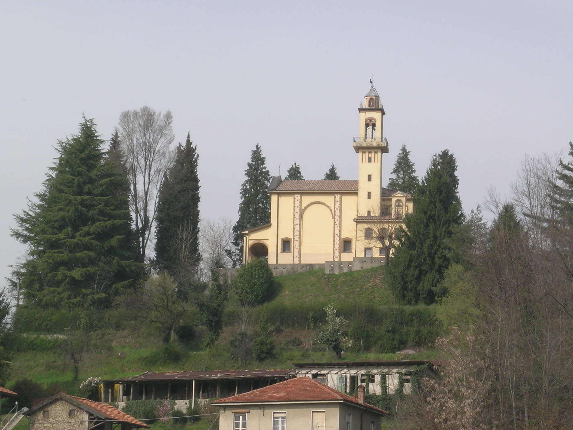
Oltrona di San Mamette — Comune — Comune di Oltrona di San Mamette View of the Sanctuary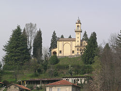

Coat of armsLocation of Oltrona di San Mamette in Italy
 Oltrona di San Mamette
Coordinates: 45°45′N 8°58′E / 45.75°N 8.967°ECoordinates: 45°45′N 8°58′E / 45.75°N 8.967°E Country Italy Region Lombardy Province Province of Como (CO) Frazioni Cerc, Gerbo Area – Total 2.7 km2 (1 sq mi) Elevation 370 m (1,214 ft) Population (Dec. 2004) – Total 2,190 – Density 811.1/km2 (2,100.8/sq mi) Demonym Oltronesi Time zone CET (UTC+1) – Summer (DST) CEST (UTC+2) Postal code 22070 Dialing code 031 Oltrona di San Mamette is a comune (municipality) in the Province of Como in the Italian region Lombardy, located about 35 kilometres (22 mi) northwest of Milan and about 12 kilometres (7 mi) southwest of Como. As of 31 December 2004, it had a population of 2,190 and an area of 2.7 km².[1]
The municipality of Oltrona di San Mamette contains the frazioni (subdivisions, mainly villages and hamlets) Cerc and Gerbo.
Oltrona di San Mamette borders the following municipalities: Appiano Gentile, Beregazzo con Figliaro, Lurate Caccivio, Olgiate Comasco.
Demographic evolution

References
Categories:- Cities and towns in Lombardy
- Communes of the Province of Como
- Province of Como geography stubs

Wikimedia Foundation. 2010.