- Gomshall railway station
Infobox UK station
name = Gomshall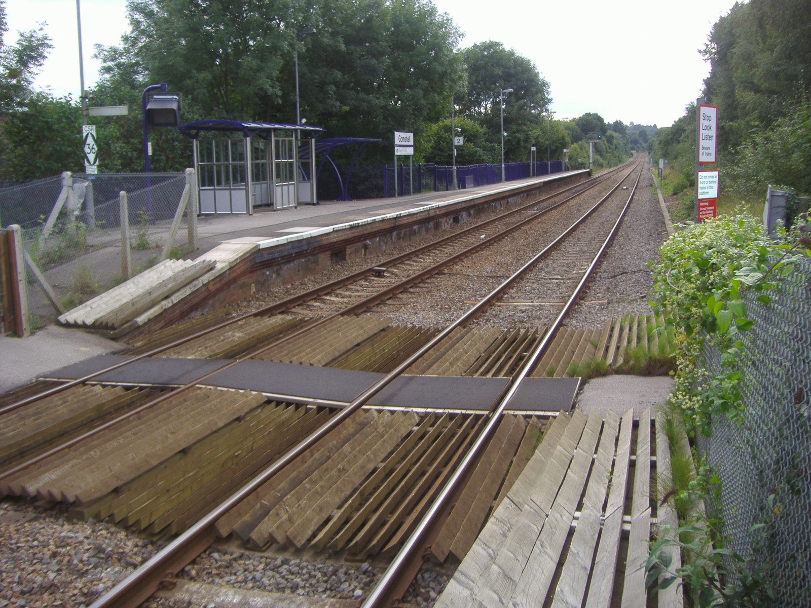
manager =First Great Western
locale =Gomshall
borough = Guildford
code = GOM
lowusage0405 = 27,136
lowusage0506 = 28,968
lowusage0607 = 28,999
platforms = 2
start =20 August 1849 Gomshall railway station serves the village of
Gomshall inSurrey ,England . The station, and all trains serving it, are operated byFirst Great Western . It is situated on theNorth Downs Line .History
Gomshall station was previously known as Gomshall & Shere, as it also serves the adjacent village of
Shere .ervices
The typical off-peak service on the
North Downs Line (from December 2006) is one train every two hours between Reading and Redhill.###@@@KEYEND@@@###
Gallery
Wikimedia Foundation. 2010.