Blackwater railway station — Infobox UK station name = Blackwater manager = First Great Western locale = Blackwater borough = Hart code = BAW usage0405 = 0.387 usage0506 = 0.383 usage0607 = 0.404 platforms = 2 start = 8 July 1849Blackwater railway station is a railway… … Wikipedia
Chilworth railway station — Chilworth Location Place … Wikipedia
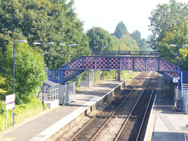
Ash railway station — Infobox UK station name = Ash caption =Ash railway station manager = South West Trains locale = Ash borough = Guildford code = ASH usage0405 = 0.216 usage0506 = 0.225 usage0607 = 0.239 platforms = 2 years = 20 August 1849 events = Station opens… … Wikipedia
Dorking Deepdene railway station — Dorking Deepdene Location Place … Wikipedia
Shalford, Surrey — infobox UK place country = England latitude= 51.2116 longitude= 0.5684 official name= Shalford map type= Surrey population = 2,338 [ [http://www.surreycc.gov.uk/sccwebsite/sccwspublications.nsf/591f7dda55aad72a80256c670041a50d/1c602ea59c869c918025… … Wikipedia
North Downs Line — Overview Type Suburban rail, Heavy rail System National Rail … Wikipedia
Guildford — For the larger local government district, see Guildford (borough). This article is about the county town of Surrey. For other uses, see Guildford (disambiguation). Coordinates: 51°14′12″N 0°34′13″W / … Wikipedia
Cranleigh Line — [v · d · … Wikipedia
Chilworth, Surrey — This article is about Chilworth in Surrey. For Chilworth in Hampshire, see Chilworth, Hampshire. Coordinates: 51°12′51″N 0°32′18″W / 51.2141°N 0.5383°W … Wikipedia
Farnborough, Hampshire — infobox UK place country = England official name= Farnborough latitude= 51.29 longitude= 0.75 scale= 50000 population = 57,147 (Census 2001) shire district= Rushmoor shire county = Hampshire region= South East England constituency westminster=… … Wikipedia