- Crowden, Derbyshire
-
Coordinates: 53°29′24″N 1°53′38″W / 53.490°N 1.894°W
Crowden 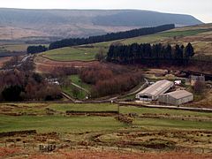
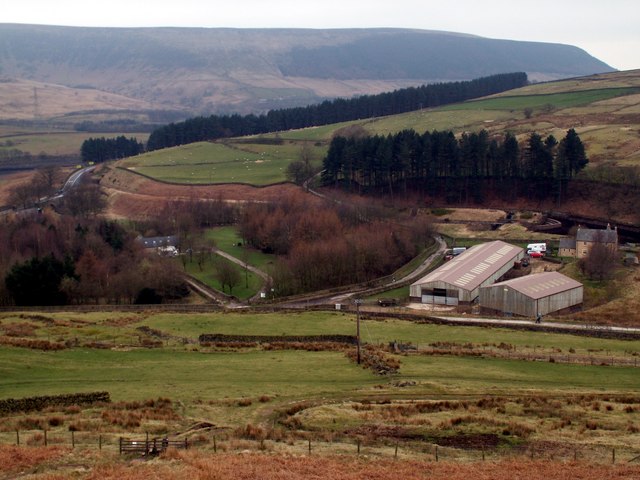
Crowden from the northeast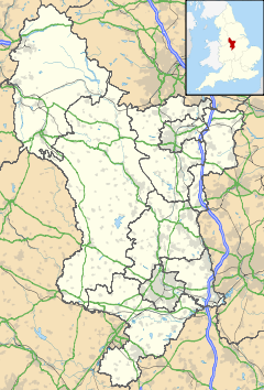
 Crowden
Crowden shown within DerbyshireOS grid reference SK071992 District High Peak Shire county Derbyshire Region East Midlands Country England Sovereign state United Kingdom Post town GLOSSOP Postcode district SK13 Dialling code 01457 Police Derbyshire Fire Derbyshire Ambulance North West EU Parliament East Midlands UK Parliament High Peak List of places: UK • England • Derbyshire Crowden (otherwise Crowden-in-Longdendale) is a landmark hamlet in the High Peak district of Derbyshire, 5.8 miles (9.3 km) miles northeast of Glossop and 5.7 miles (9.2 km) miles southwest of Holme in West Yorkshire, as well as 16.5 miles (26.6 km) from the larger city of Manchester and 19.5 miles (31.4 km) from the town of Barnsley. The hamlet lies within the historic county boundaries of Cheshire.
It lies on the trans-Pennine A628 road connecting Greater Manchester and South Yorkshire. It also lies very close to the Pennine Way long distance footpath (on which it is traditionally the first-night stop after Edale) and includes a youth hostel.[1] The Torside Reservoir is to the south of Crowden. An army rifle range was situated at Crowden in the 1950s and 1960s.
The hamlet was previously served by Crowden railway station on the Woodhead Line between the cities of Manchester and Sheffield, but the station closed on 4 February 1957.
References
External links
 Media related to Crowden, Derbyshire at Wikimedia CommonsCategories:
- Hamlets in Derbyshire
- Towns and villages of the Peak District
- Derbyshire geography stubs

Wikimedia Foundation. 2010.