Turtle Mound

Turtle Mound

Infobox nrhp
name = Turtle Mound
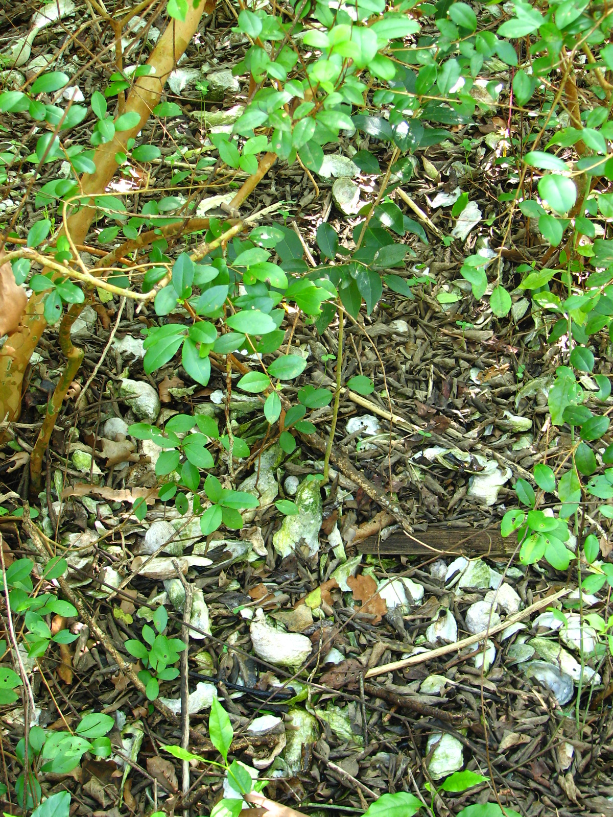


caption = Oyster shells visible beneath the overgrowth
locator_x =
locator_y =
location = Volusia County, Florida
nearest_city = New Smyrna Beach
lat_degrees = 28
lat_minutes = 55
lat_seconds = 51
lat_direction = N
long_degrees = 80
long_minutes = 49
long_seconds = 37
long_direction = W
area =
added = September 29, 1970
visitation_num =
visitation_year =
governing_body =

The Turtle Mound is a historic site located 9 miles south of New Smyrna Beach, Florida, on State Road A1A. On September 29, 1970, it was added to the U.S. National Register of Historic Places. It is the largest shell midden on the mainland United States, with an approximate height of 50 feet.cite web|author=Volusia County Heritage|title=Turtle Mound|url=http://volusiahistory.com/turtle.htm|publisher=Volusia County Government|accessdate=2007-09-15] The turtle-shaped mound contains oysters and refuse from the prehistoric Timucuan people. It was constructed between 800 and 1400 AD.cite web|author=National Park Service|title=Canaveral National Seashore: Scenic Vistas|url=http://www.nps.gov/cana/naturescience/upload/Scenic%20Vistas.pdf|accessdate=2007-09-05] Early Spanish explorers and subsequent mariners utilized the large mound as a landmark. Today, the site is owned and managed by the National Park Service as part of Canaveral National Seashore.cite web|title=New Smyrna Beach|url=http://www.newsmyrnabeach.com/resources/turtle-mound.html|accessdate=2007-09-05]

References

External links

* [http://www.nationalregisterofhistoricplaces.com/FL/Volusia/state.html Volusia County listings] at [http://www.nationalregisterofhistoricplaces.com National Register of Historic Places]
* [http://www.flheritage.com/facts/reports/places/Counties/Volusia.cfm Volusia County listings] at [http://www.flheritage.com Florida's Office of Cultural and Historical Programs]


Wikimedia Foundation. 2010.

Игры ⚽ Поможем сделать НИР

Look at other dictionaries:

  • Turtle Mountain (electoral district) — Turtle Mountain is a provincial electoral division in the Canadian province of Manitoba. It was created with the westward expansion of the province s borders in 1881, eliminated by redistribution in 1968, and re established in 1979, formally… …   Wikipedia

  • Beattie Park Mound Group — Infobox nrhp name = Beattie Park Mound Group nrhp type = caption = location = Rockford, Winnebago County, Illinois, USA nearest city = lat degrees = 42 lat minutes = 16 lat seconds = 27 lat direction = N long degrees = 89 long minutes = 5 long… …   Wikipedia

  • Painted turtle — This article is about the North American turtle. For the summer camp, see The Painted Turtle. Painted turtle Temporal range: 15–0 Ma …   Wikipedia

  • effigy mound — Earthen mound in the form of a bird or animal (e.g, bear, deer, turtle, buffalo), found in the northern central U.S., especially the Ohio River valley. Little is known of the effigy mounds except that most were burial sites. The culture that… …   Universalium

  • St. Johns culture — The St. Johns culture was an archaeological culture in northeastern Florida, USA that lasted from about 500 BCE (the end of the Archaic period) until shortly after European contact in the 17th century. The St. Johns culture was present along the… …   Wikipedia

  • National Register of Historic Places listings in Volusia County, Florida — Location of Volusia County in Florida This is a list of the National Register of Historic Places listings in Volusia County, Florida. This is intended to be a complete list of the properties and districts on the National Register of Historic… …   Wikipedia

  • Florida State Road A1A — A1A redirects here. For other uses, see A1A (disambiguation). Ocean Boulevard redirects here. For the road in Myrtle Beach, South Carolina, see South Carolina Highway 73. State Road A1A Route information …   Wikipedia

  • Former place names in Brevard County, Florida — Here are place names currently used, or used at one time by the Geographic Names Information System in Brevard County, Florida. Some are early developments, others are former stations along the main line of the Florida East Coast Railway. Several …   Wikipedia

  • Canaveral National Seashore — Infobox Protected area name = Canaveral National Seashore iucn category = V caption = locator x = 232 locator y = 150 location = Brevard County Volusia County, Florida, USA nearest city = Titusville, Florida lat degrees = 28 lat minutes = 46 lat… …   Wikipedia

  • Collegiate secret societies in North America — There are many collegiate secret societies in North America. They vary greatly in their levels of secrecy and independence from their universities. As the term is used in this article, a secret society is a collegiate society where significant… …   Wikipedia

Share the article and excerpts

Direct link
Do a right-click on the link above
and select “Copy Link”