- Claygate railway station
-
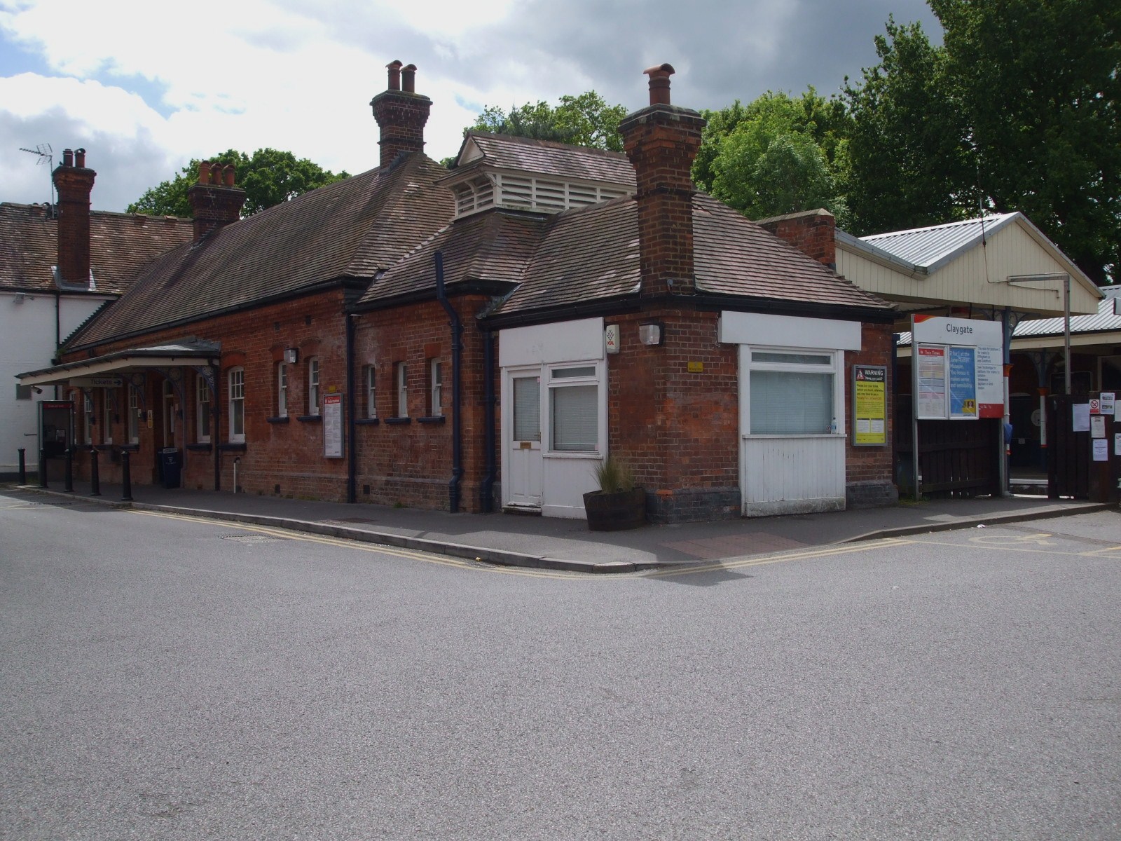
Claygate 

Location Place Claygate Local authority Elmbridge Operations Station code CLG Managed by South West Trains Number of platforms 2 Live arrivals/departures and station information
from National Rail EnquiriesAnnual rail passenger usage 2004/05 * 0.470 million 2005/06 *  0.464 million
2006/07 *  0.519 million
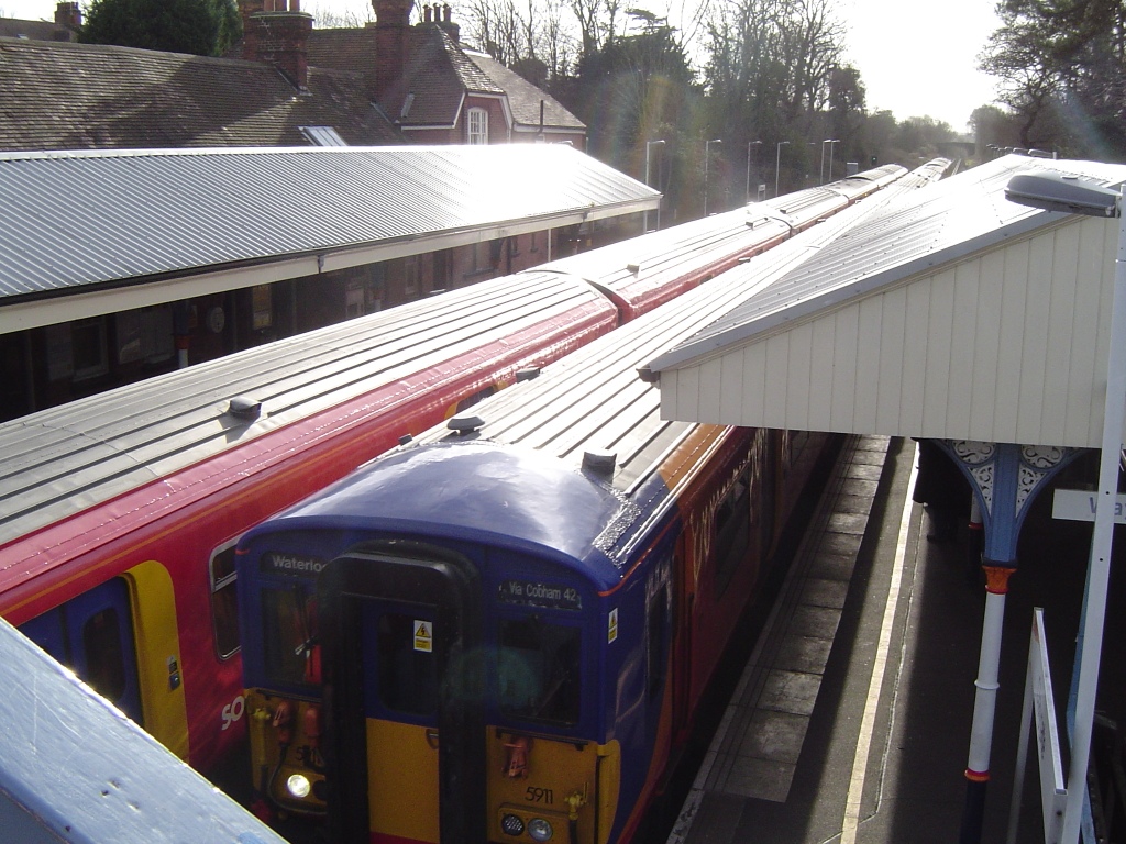
2007/08 * 0.589 million2008/09 * 0.608 million2009/10 * 0.583 millionNational Rail - UK railway stations A B C D E F G H I J K L M N O P Q R S T U V W X Y Z * Annual passenger usage based on sales of tickets in stated financial year(s) which end or originate at Claygate from Office of Rail Regulation statistics. Please note: methodology may vary year on year. Claygate railway station serves the village of Claygate, in Surrey, England. The station, and all trains serving it, are operated by South West Trains. It is situated on the New Guildford Line, and is served by trains from London Waterloo to Guildford via Cobham.
Services
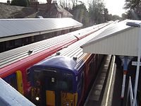
South West Trains operate the services on the line, and there are trains every 30 minutes in each direction. Northbound trains to London Waterloo call at all stations to Surbiton, then run fast to Wimbledon and call at all stations after that (with the exception of Queenstown Road). Services to New Malden do run but only occasionally and mostly during busier, 'peak' periods. Southbound trains run to Guildford and stop at all stations on the way.
External links
- Train times and station information for Claygate railway station from National Rail
Preceding station  National Rail
Following station Hinchley Wood South West Trains
Waterloo-Guildford via CobhamOxshott Categories:- Surrey building and structure stubs
- South East England railway station stubs
- Elmbridge
- Railway stations in Surrey
- Former London and South Western Railway stations
- Railway stations opened in 1885
- Railway stations served by South West Trains
- DfT Category D stations
Wikimedia Foundation. 2010.