- Chapmanslade
-
Coordinates: 51°13′48″N 2°14′49″W / 51.230°N 2.247°W
Chapmanslade 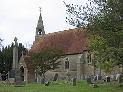
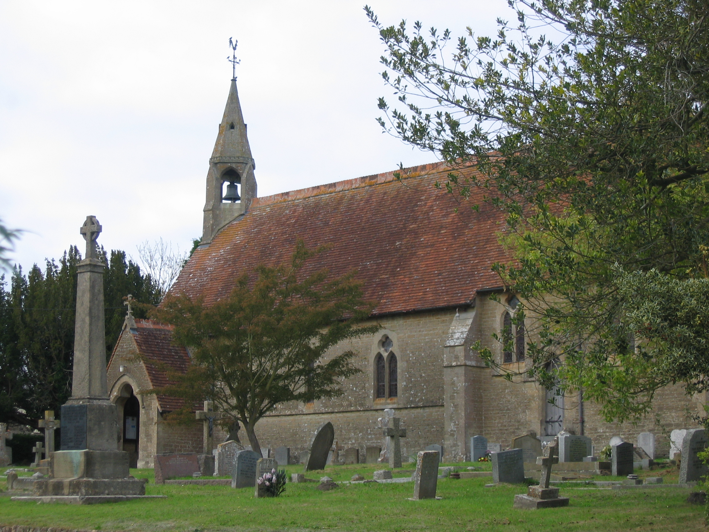
St Philip & St James church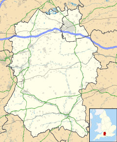
 Chapmanslade
Chapmanslade shown within WiltshirePopulation 651 (as of 2001) OS grid reference ST825478 Unitary authority Wiltshire Ceremonial county Wiltshire Region South West Country England Sovereign state United Kingdom Post town WESTBURY Postcode district BA13 Dialling code 01373 Police Wiltshire Fire Wiltshire Ambulance Great Western EU Parliament South West England List of places: UK • England • Wiltshire Chapmanslade is a village and parish in the County of Wiltshire, in the south west of England.
Contents
Location
Its closest towns are Westbury and Warminster in Wiltshire, and the Somerset town of Frome is also nearby. Trowbridge is to the north.
Sources
Features
The village High Street is a section of the A3098 between Westbury and Frome and is some 2 km long. Near the centre of the village are the village school and the Anglican parish church.
The parish of Chapmanslade also includes Thoulstone Park Golf Club, which closed in 2001 and remains unused at present.
History
Most of Chapmanslade was part of the historic civil parish of Westbury, while parts of the present parish formed part of Upton Scudamore. The name Chapmanslade has referred to the village since the 14th century at least[citation needed], and is believed to mean that travelling merchants lived there. The principal local industries were weaving and agriculture, but the employment profile of the village is now very similar to Southern England generally. The present parish was established in the 1890s.
Local government
Most local government services are provided by Wiltshire Council, which has its offices in Trowbridge.Chapmanslade also has its own elected parish council of five members, which is almost entirely a consultative body.
The village is represented in Parliament by the MP for Westbury, Andrew Murrison, and in Wiltshire Council by Fleur de Rhé-Philipe.
See also
- List of places in Wiltshire
- List of civil parishes in England
- Guide to the neighbouring town of Frome
External links
Categories:- Villages in Wiltshire
- Wiltshire geography stubs

Wikimedia Foundation. 2010.