- Connecticut Route 30
-
Route 30

Route information Maintained by ConnDOT Length: 20.94 mi[1] (33.70 km) Existed: 1943 – present Major junctions South end: 
 US 5 / I-291 in South Windsor
 I-84 in Manchester and Vernon
North end:  Route 190 in Stafford
Highway system Routes in Connecticut
Special Service Roads • State Roads←  Route 27
Route 31  →
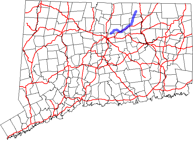
→Route 30 is a Connecticut state highway running from South Windsor to Stafford. Although officially designated north–south,[2] the section from South Windsor to Vernon is a major east–west arterial road.
Contents
Route description
Route 30 begins at US 5 and I-291 in South Windsor, then meets with I-84 in Manchester and Vernon at Exits 63, 64, and 65. Route 30 continues northward through Tolland, Ellington, and Stafford as a minor road, ending at Route 190 in Stafford.
History
The northern part of Route 30 was commissioned as several smaller routes in the 1920s. In 1932, these routes were combined as part of Route 15. When Route 15 was realigned over the Wilbur Cross Highway in 1943, the old route was commissioned as Route 30.[2]
In 1951, Route 30 was extended at its south end from Route 74 to US 5. In 2003, the south end was moved to the intersection of US 5 and I-291.
Junction list
Location Mile[1] Destinations Notes South Windsor 0.00 US 5 / I-2915.52  Route 194
Manchester 5.75–
5.99 I-846.16–
6.18 I-84 / Route 83
Begin concurrency with Route 83 Vernon 7.51–
7.68 I-84 / Route 83End concurrency with Route 83 7.96–
8.40 I-8411.86 Route 31Tolland 13.40–
13.43 Route 74
Begin concurrency 13.54 Route 74End concurrency Ellington 17.81  Route 140
Stafford 20.94 Route 1901.000 mi = 1.609 km; 1.000 km = 0.621 mi References
Categories:- State highways in Connecticut
- Transportation in Hartford County, Connecticut
- Transportation in Tolland County, Connecticut

Wikimedia Foundation. 2010.