- Oberurnen
-
Oberurnen 
Country Switzerland 
Canton Glarus District n.a. 47°6′N 9°3′E / 47.1°N 9.05°ECoordinates: 47°6′N 9°3′E / 47.1°N 9.05°E Population 1,955 (December 2009) - Density 152 /km2 (395 /sq mi) Area 12.82 km2 (4.95 sq mi) Elevation 430 m (1,411 ft) Postal code 8868 SFOS number 1623 Surrounded by Innerthal (SZ), Mollis, Näfels, Niederurnen, Schübelbach (SZ) Website www.oberurnen.ch
SFSO statistics
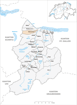
 OberurnenMap of Oberurnen
Oberurnen is a former municipality in the canton of Glarus in Switzerland. Effective from 1 January 2011, Oberurnen is part of the municipality of Glarus Nord.
Contents
History
Oberurnen is first mentioned in 1340 as Obern Urannen.[1]
Geography
Oberurnen has an area, as of 2006[update], of 12.8 km2 (4.9 sq mi). Of this area, 45.2% is used for agricultural purposes, while 40.6% is forested. Of the rest of the land, 4.1% is settled (buildings or roads) and the remainder (10.2%) is non-productive (rivers, glaciers or mountains).[2]
Oberurnen is located in the Glarner Unterland.
Demographics
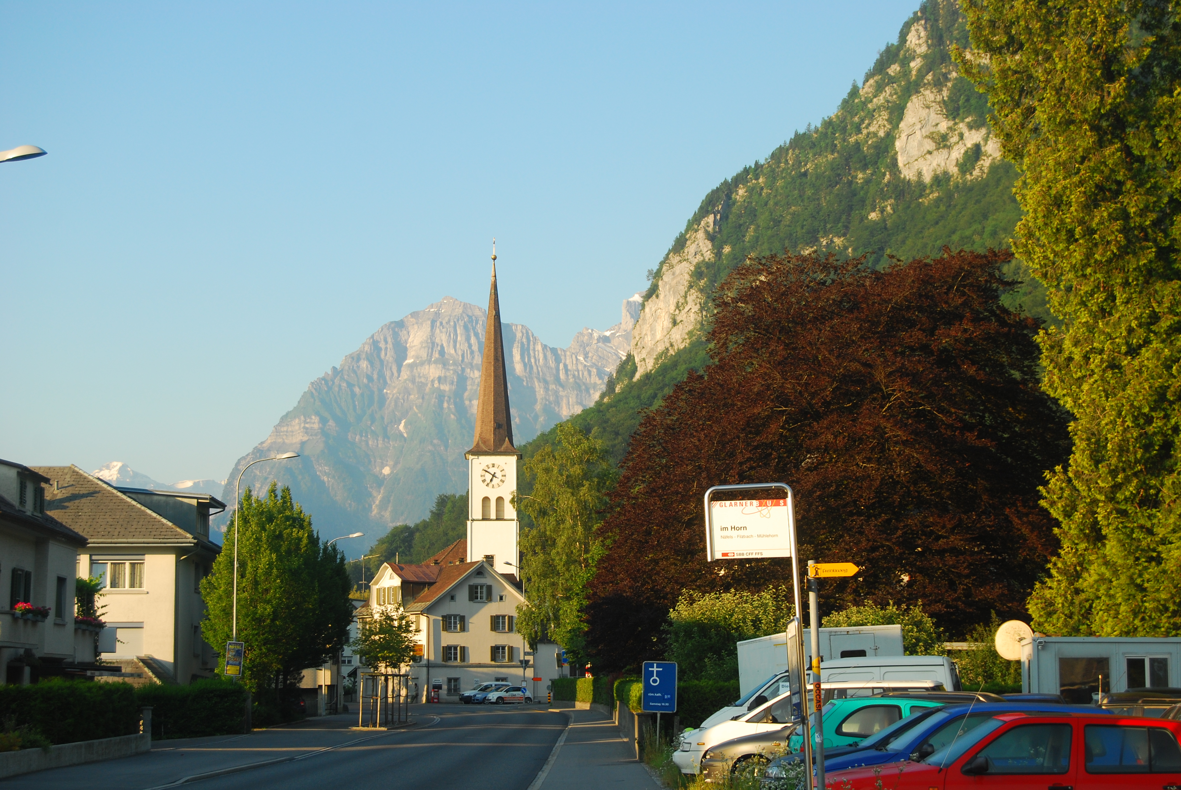
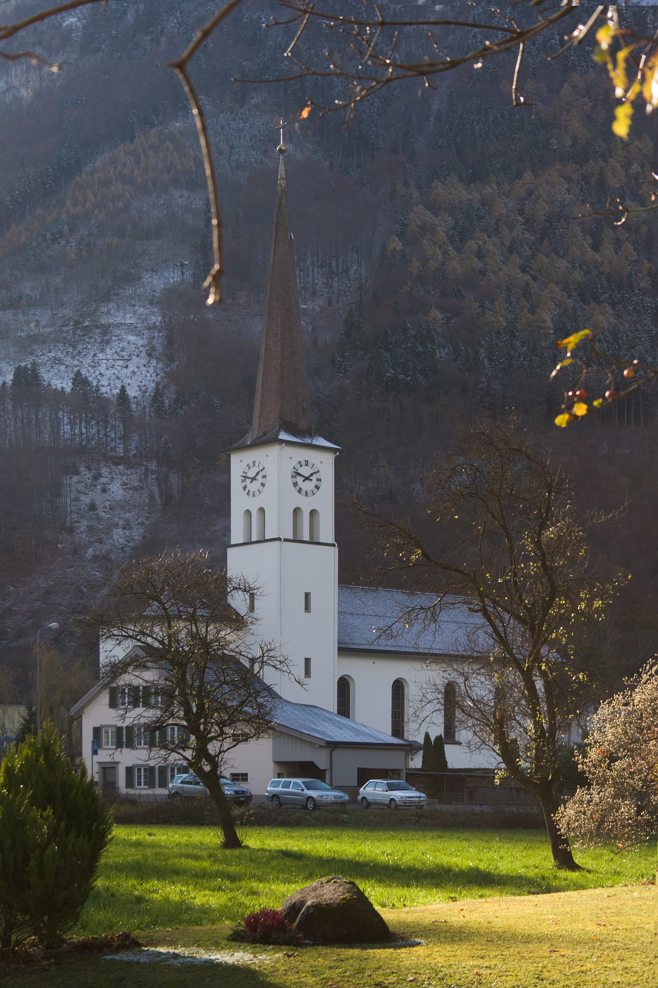
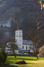 Oberurnen Catholic Church
Oberurnen has a population (as of 31 December 2009) of 1,955.[3] As of 2007[update], 24.2% of the population was made up of foreign nationals.[4] Over the last 10 years the population has grown at a rate of 0.5%. Most of the population (as of 2000[update]) speaks German (79.8%), with Italian being second most common ( 8.2%) and Albanian being third ( 3.6%).[2]
In the 2007 federal election the most popular party was the SPS which received 44.9% of the vote. Most of the rest of the votes went to the SVP with 44.2% of the vote.[2]
The entire Swiss population is generally well educated. In Oberurnen about 56.9% of the population (between age 25-64) have completed either non-mandatory upper secondary education or additional higher education (either University or a Fachhochschule).[2]
Oberurnen has an unemployment rate of 2.46%. As of 2005[update], there were 53 people employed in the primary economic sector and about 21 businesses involved in this sector. 82 people are employed in the secondary sector and there are 19 businesses in this sector. 129 people are employed in the tertiary sector, with 42 businesses in this sector.[2]
The historical population is given in the following table:[1]
year population 1850 691 1900 862 1950 1,181 2000 1,811 References
- ^ a b Oberurnen in German, French and Italian in the online Historical Dictionary of Switzerland.
- ^ a b c d e Swiss Federal Statistical Office accessed 14-Sep-2009
- ^ Swiss Federal Statistical Office (German) accessed 4 April 2011. Numbers are from December 2009 but cover the new municipal borders from 2011.
- ^ Canton Glarus population growth (German) accessed 9 September 2009
Municipalities from January 1, 2011 Glarus Nord | Glarus | Glarus Süd

Former municipalities Categories:- Villages in Glarus
- Former municipalities of Glarus


Wikimedia Foundation. 2010.