- Guryevsk, Kaliningrad Oblast
-
For other uses, see Guryevsk.
Guryevsk (English)
Гурьевск (Russian)- Town[citation needed] - 
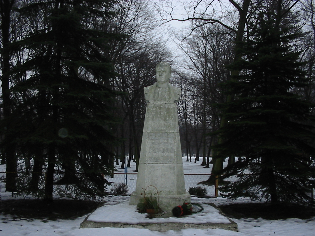
Monument to Guryev in Guryevsk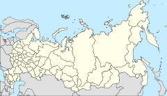
Location of Kaliningrad Oblast in Russia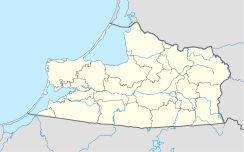
 GuryevskLocation of Guryevsk in Kaliningrad Oblast
Coordinates: 54°46′18″N 20°35′50″E / 54.77167°N 20.59722°ECoordinates: 54°46′18″N 20°35′50″E / 54.77167°N 20.59722°E Administrative status Country Russia Federal subject Kaliningrad Oblast Statistics Population (2010 Census,
preliminary)12,433 inhabitants[1] Population (2002 Census) 10,913 inhabitants[2] Time zone USZ1 (UTC+03:00)[3] Founded 1262[4] Postal code(s) 689450[citation needed] Guryevsk (Russian: Гу́рьевск; German: Neuhausen; Polish: Nowy Dwór Pruski; Lithuanian: Romuva) is a town and the administrative center of Guryevsky District of Kaliningrad Oblast, Russia, located 7 kilometers (4.3 mi) northeast of Kaliningrad. Population: 12,433 (2010 Census preliminary results);[1] 10,913 (2002 Census);[2] 7,934 (1989 Census).[5]
History
The town was founded as Neuhausen in 1262 by the Teutonic Knights. It became part of the Duchy of Prussia in 1525 and the Kingdom of Prussia in 1701. It was administered within the Province of East Prussia and became part of the German Empire upon the unification of Germany in 1871.
After the end of World War II in 1945, the town was annexed by the Soviet Union. The remaining German population which had not been evacuated was subsequently expelled and replaced with Russians. The following year it was renamed Guryevsk in the honour of Stepan Guryev, a Soviet marshal who died during the capture of Kaliningrad.
Notable residents
- Martin Kähler (1835–1912), theologian
References
- ^ a b Федеральная служба государственной статистики (Federal State Statistics Service) (2011). "Предварительные итоги Всероссийской переписи населения 2010 года (Preliminary results of the 2010 All-Russian Population Census)" (in Russian). Всероссийская перепись населения 2010 года (All-Russia Population Census of 2010). Federal State Statistics Service. http://www.perepis-2010.ru/results_of_the_census/results-inform.php. Retrieved 2011-04-25.
- ^ a b Федеральная служба государственной статистики (Federal State Statistics Service) (2004-05-21). "Численность населения России, субъектов Российской Федерации в составе федеральных округов, районов, городских поселений, сельских населённых пунктов – районных центров и сельских населённых пунктов с населением 3 тысячи и более человек (Population of Russia, its federal districts, federal subjects, districts, urban localities, rural localities—administrative centers, and rural localities with population of over 3,000)" (in Russian). Всероссийская перепись населения 2002 года (All-Russia Population Census of 2002). Federal State Statistics Service. http://www.perepis2002.ru/ct/doc/1_TOM_01_04.xls. Retrieved 2010-03-23.
- ^ Правительство Российской Федерации. Постановление №725 от 31 августа 2011 г. «О составе территорий, образующих каждую часовую зону, и порядке исчисления времени в часовых зонах, а также о признании утратившими силу отдельных Постановлений Правительства Российской Федерации». Вступил в силу по истечении 7 дней после дня официального опубликования. Опубликован: "Российская Газета", №197, 6 сентября 2011 г. (Government of the Russian Federation. Resolution #725 of August 31, 2011 On the Composition of the Territories Included into Each Time Zone and on the Procedures of Timekeeping in the Time Zones, as Well as on Abrogation of Several Resolutions of the Government of the Russian Federation. Effective as of after 7 days following the day of the official publication).
- ^ Энциклопедия Города России. Moscow: Большая Российская Энциклопедия. 2003. pp. 113. ISBN 5-7107-7399-9.
- ^ "Всесоюзная перепись населения 1989 г. Численность наличного населения союзных и автономных республик, автономных областей и округов, краёв, областей, районов, городских поселений и сёл-райцентров. (All Union Population Census of 1989. Present population of union and autonomous republics, autonomous oblasts and okrugs, krais, oblasts, districts, urban settlements, and villages serving as district administrative centers.)" (in Russian). Всесоюзная перепись населения 1989 года (All-Union Population Census of 1989). Demoscope Weekly (website of the Institute of Demographics of the State University—Higher School of Economics. 1989. http://demoscope.ru/weekly/ssp/rus89_reg.php. Retrieved 2010-03-23.
Cities and towns in Kaliningrad Oblast Administrative center: Kaliningrad (Königsberg) Bagrationovsk (Preußisch Eylau) · Baltiysk (Pillau) · Chernyakhovsk (Insterburg) · Guryevsk (Neuhausen) · Gusev (Gumbinnen) · Gvardeysk (Tapiau) · Krasnoznamensk (Lasdehnen) · Ladushkin (Ludwigsort) · Mamonovo (Heiligenbeil) · Neman (Ragnit) · Nesterov (Stallupönen) · Ozyorsk (Darkehmen) · Pionersky (Neukuhren) · Polessk (Labiau) · Pravdinsk (Friedland in Ostpreußen) · Slavsk (Heinrichswalde) · Sovetsk (Tilsit) · Svetlogorsk (Rauschen) · Svetly (Zimmerbude) · Zelenogradsk (Cranz)
 Categories:
- Cities and towns in Kaliningrad Oblast
- Castles of the Teutonic Knights


Wikimedia Foundation. 2010.