- Ōuda, Nara
-
Ōuda
大宇陀町— town — Country Japan Region Kansai Prefecture Nara District Uda Area – Total 47.44 km2 (18.3 sq mi) Population (2005) – Total 8,647 – Density 182.27/km2 (472.1/sq mi) Time zone Japan Standard Time (UTC+9) City symbols - Tree Oak - Flower Pinwheel - Bird Bunting Website Town of Ōuda 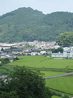
Ōuda (大宇陀町 Ōuda-chō) was a town located in Uda District, Nara, Japan.
On January 1, 2006 Ōuda was merged with the towns of Haibara and Utano, and the village of Murō, all from Uda District, to form the new city of Uda.
As of 2005, the town had an estimated population of 8,647 and a density of 182.27 persons per km². The total area was 47.44 km².
The town of Ōuda lies in a valley between two long mountain ranges in northeastern Nara, Japan. A three-mile long stretch of national routes 166 and 370 in the southern part of the town is where most of the businesses and homes are clustered. A large portion of flat land north on route 370 is less densely populated, covered mostly by rice fields. A large Torii, or Japanese Gate, rises out of the rice paddies.
Fall is considered to be by far the most beautiful season for the region, as the region has inherited a reputation for natural beauty of its late months.
-
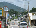
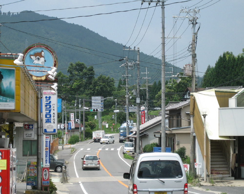
The main street in Ōuda
-
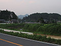
The outskirts of Ōuda
Coordinates: 34°28′44.2″N 135°55′41.1″E / 34.478944°N 135.928083°E
Categories:- Nara geography stubs
- Populated places disestablished in 2006
- Dissolved municipalities of Nara Prefecture
-


Wikimedia Foundation. 2010.