- Misumi, Shimane
-
 Obira
Obira
Misumi (三隅町 Misumi-chō) was a town located in Naka District, Shimane, Japan.
On October 1, 2005 Misumi, along with the towns of Asahi and Kanagi, and the village of Yasaka, all from Naka District, was merged into the expanded city of Hamada.
As of 2003, the town had an estimated population of 7,758 and a density of 60.35 persons per km². The total area was 128.55 km².
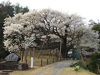
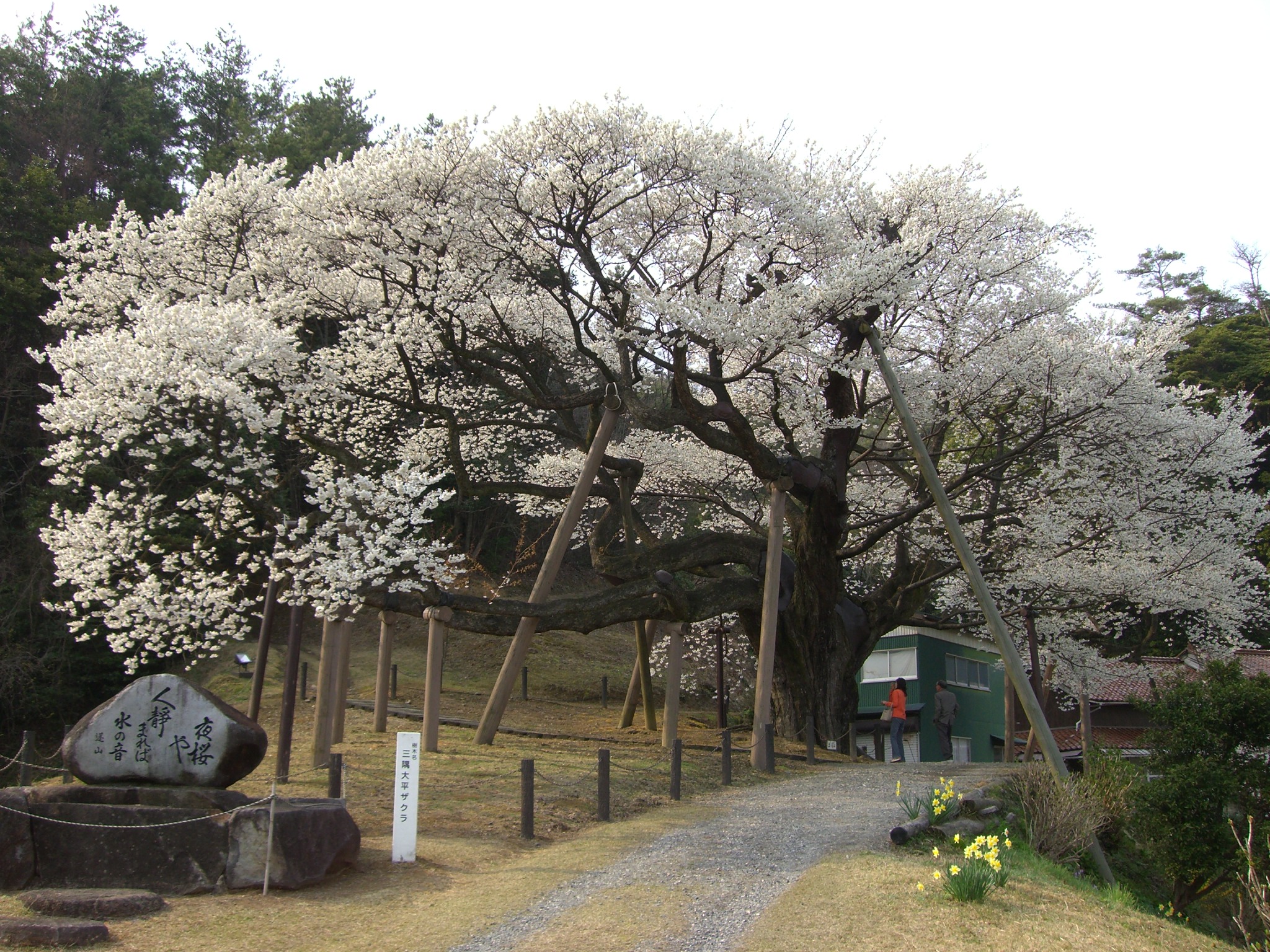
Misumi is located between the towns of Hamada and Masuda on Route 9 which runs along the coast of Japan. Bordered by the Sea of Japan, Misumi is renowned for an estimated 600-year-old Obira sakura tree approximately seven kilometers outside of town. The tree blossoms every year at the beginning of April and draws visitors from all over Japan.
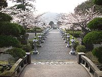
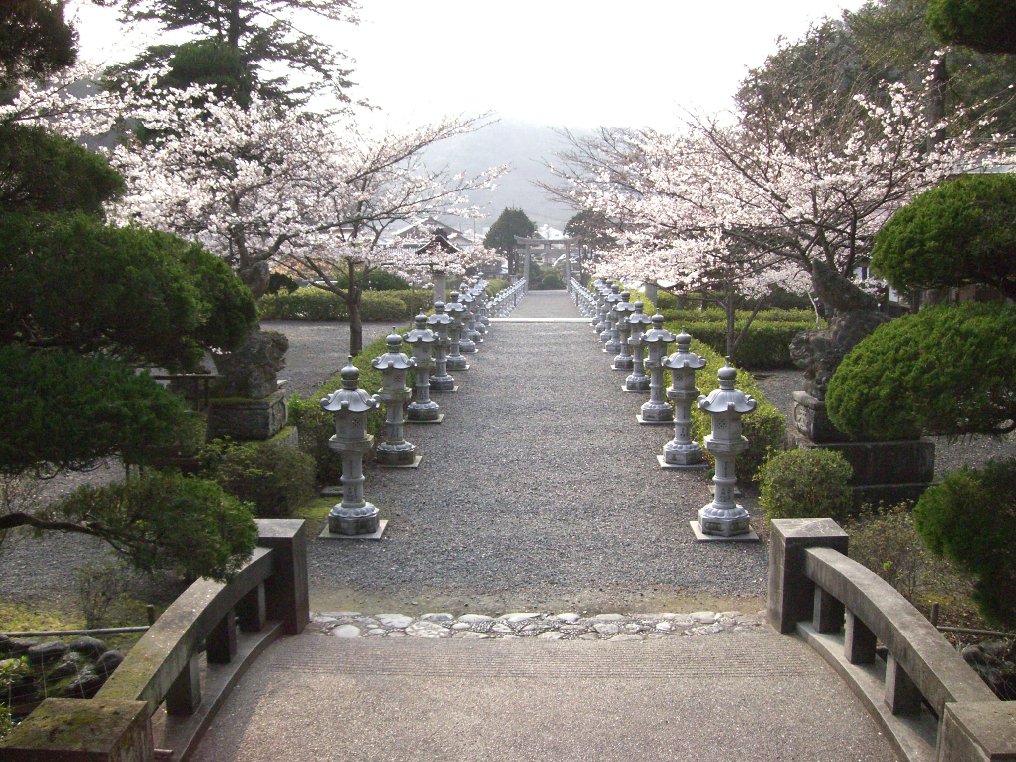
Several temples highlight the downtown area. Ryu-unji temple, further along the road from Misumi Shrine up into the mountain, is also a major tourist destination in Misumi.
Aqua Misumi features an Olympic-sized pool, workout area and gymnasium. Sekisho Art Museum is located near Aqua Misumi, both about two kilometers off of Route 9.
Gallery
-
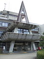
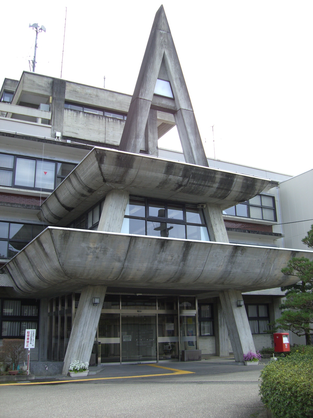
Misumi Board of Education
-

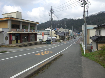
A look at downtown Misumi.
-
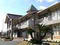
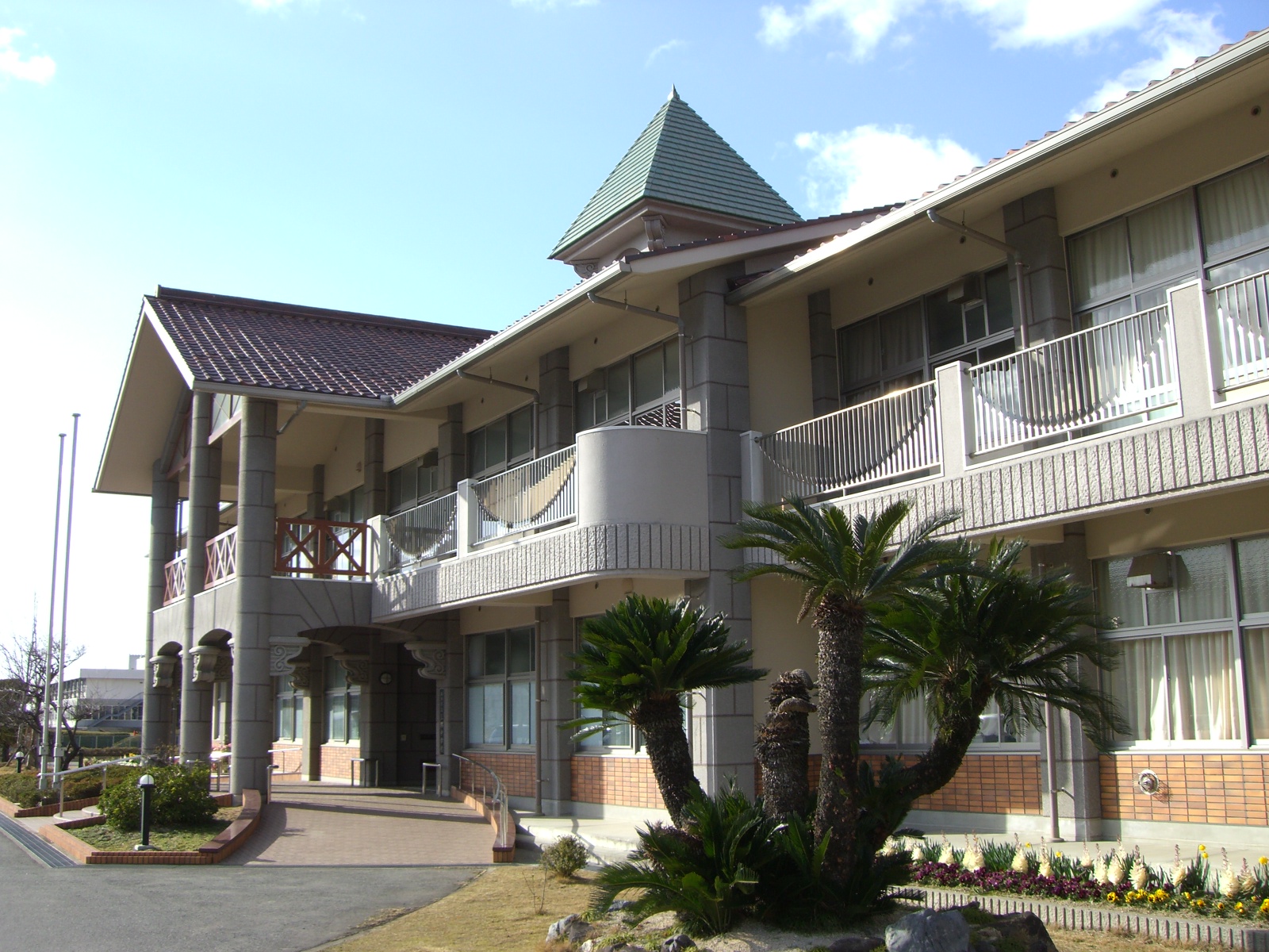
Misumi Junior High School
-
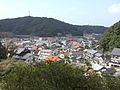
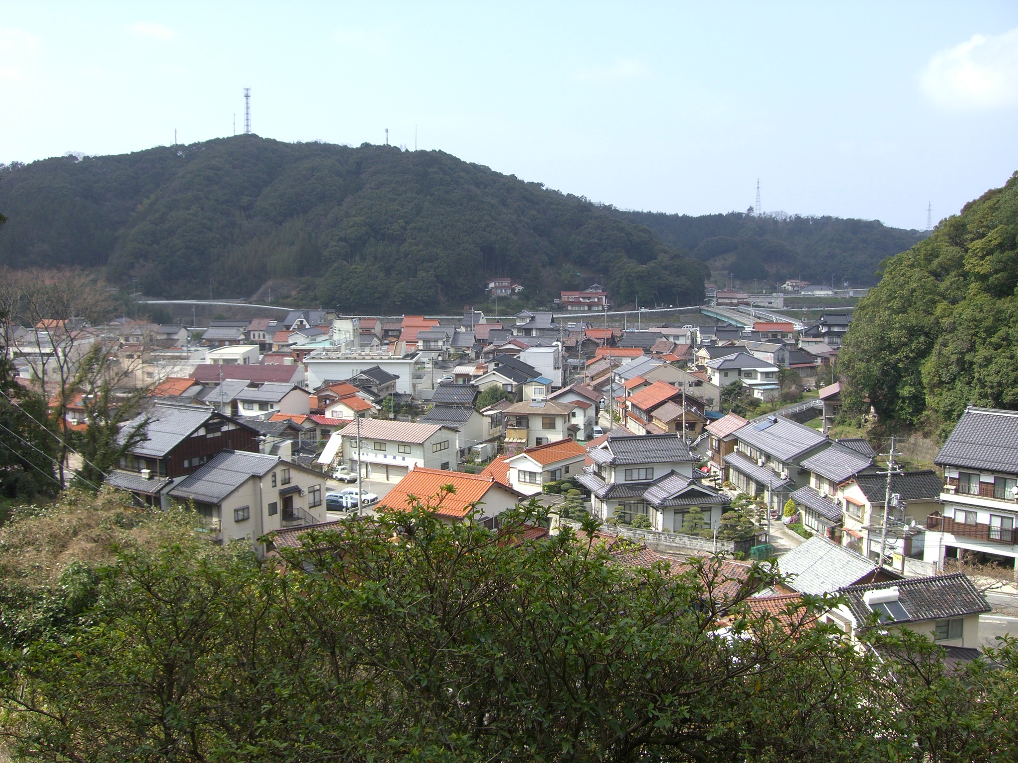
Misumi from above
Categories:- Dissolved municipalities of Shimane Prefecture
- Shimane geography stubs
-
Wikimedia Foundation. 2010.