William R. Mason Regional Park

William R. Mason Regional Park
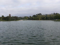
The lake at Mason Park.

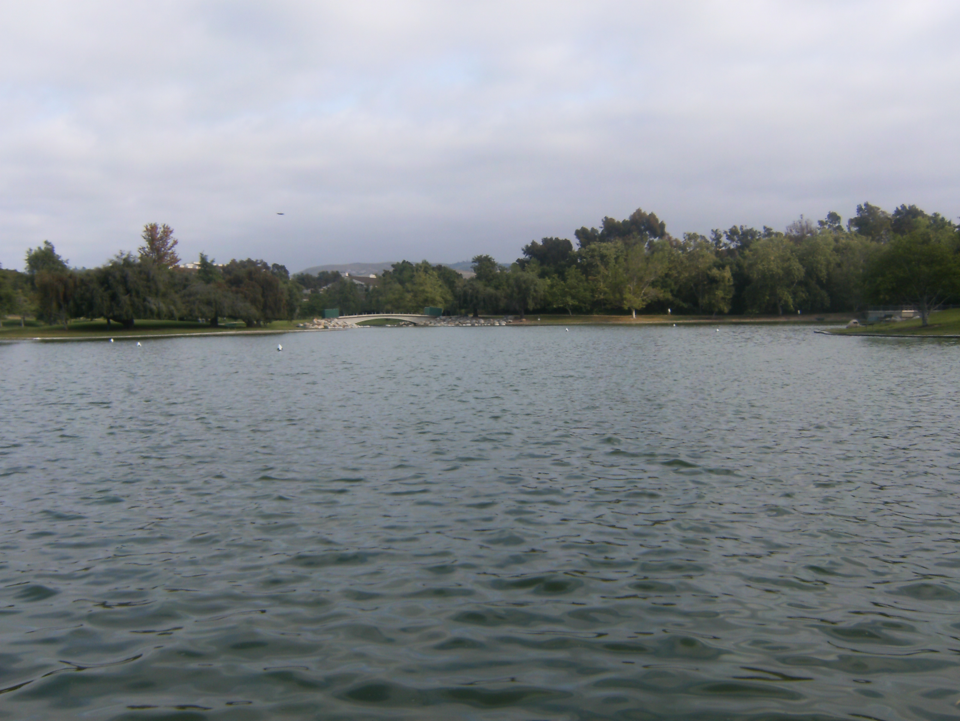
William R. Mason Regional Park, or as it is more commonly referred to, Mason Park, is a park in southern Irvine, California. It is one of the largest parks in Irvine and is traversed by trails.

Background

The first phase of the Mason Park, forty-five acres, opened to public use in 1973. A 50-acre (200,000 m2) second phase was completed in 1978 that included a 9.2-acre (37,000 m2) lake which has proven to be a popular attraction.[1]

Mason Park straddles Culver Drive and is thus split into two parts. The east side of the park is a wilderness area. It features scrub-covered ground, traversed by a bike trail and a small creek. As it is located on the northern edge of the San Joaquin Hills, the terrain is rugged: the south edge is a large palisade, marking the edge of the park. The west side of Mason Park is more like a typical park than the east side. Though a ring of wilderness surrounds this side, it is mostly flat grassland, with an occasional hill or rise. An artificial lake about 900 ft (270 m) wide and 800 ft (240 m) long in the center of the park is often home to migrating birds and other local wildlife.

The park is named for former Irvine Company chairman William R. Mason, who in 1959 commissioned the master-planning of the Irvine Ranch by William Pereira.

Its numerous trails eventually lead to Ridgeline, a street that connects Turtle Rock Loop to University Drive. The trails offer a different view of Irvine as well as a popular route for the cross-country runners of University High School as well as runners from other schools.

See also

References

  1. ^ OCParks.com: Mason Regional Park

Coordinates: 33°39′22″N 117°49′54″W / 33.6560°N 117.8318°W / 33.6560; -117.8318


Wikimedia Foundation. 2010.

Игры ⚽ Нужно сделать НИР?

Look at other dictionaries:

  • Park Inn Hotel — U.S. National Register of Historic Places …   Wikipedia

  • George Mason University — Infobox University name= George Mason University motto= Freedom and Learning established= 1957 type= Public university endowment= $51.5 million [ [http://gazette.gmu.edu/articles/9750/ Mason endowment] ] president= Alan G. Merten provost= Peter N …   Wikipedia

  • The College of William & Mary — in Virginia Established 1693[1][2] Type …   Wikipedia

  • List of county and regional parks in Minnesota — Aitkin County= *Aitkin Campground *Berglund Park *Jacobson Campground *Jacobson Wayside Rest *Snake River Campground =Anoka County= [http://www.anokacountyparks.com Official site] *Anoka County Riverfront Regional Park *Bunker Hills Regional Park …   Wikipedia

  • Universidad George Mason — (George Mason University) Alias Patriotas Lema «Libertad y aprendizaje» Tipo Universidad pública Fundación 1957 …   Wikipedia Español

  • Mesa Verde National Park — Mesa Verde redirects here. For other uses, see Mesa Verde (disambiguation). Mesa Verde National Park IUCN Category II (National Park) …   Wikipedia

  • Manassas Regional Airport — Harry P. Davis Field IATA: HEF[1] or MNZ …   Wikipedia

  • Yellowstone National Park — Yellowstone redirects here. For other uses, see Yellowstone (disambiguation). Yellowstone National Park Grand Canyon of Yellowstone Location …   Wikipedia

  • Cultural and Regional Studies — Bianco, Anthony. Ghosts of 42nd Street: A History of America s Most Infamous Block. New York: Harper Perennial, 2005. Black, Cheryl. The Women of Provincetown, 1915 1922. Tuscaloosa: University of Alabama Press, 2002. Casto, Marilyn. Actors,… …   The Historical Dictionary of the American Theater

  • Prince William County Public Schools — Coordinates: 38°37′59.09″N 77°26′12.99″W / 38.6330806°N 77.4369417°W / 38.6330806; 77.4369417 …   Wikipedia

Share the article and excerpts

Direct link
Do a right-click on the link above
and select “Copy Link”