- Cífer
-
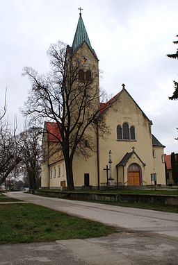
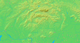
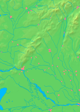
Cífer village Flag90pxCoat of armsCountry Slovakia Region Trnava District Trnava River Gidra Elevation 139 m (456 ft) Coordinates 48°19′00″N 17°30′00″E / 48.3166667°N 17.5°E Area 22.340 km2 (9 sq mi) Population 4,013 (31 Dec. 2008) Density 180 / km2 (466 / sq mi) First mentioned 1291 Mayor Maroš Sagan Timezone CET (UTC+1) - summer (DST) CEST (UTC+2) Postal code 919 43 Phone prefix +421-33 Car plate TT Wikimedia Commons: Cífer Statistics: http://www.statistics.sk/mosmis/run.html Website: http://www.cifer.sk/ Cífer (German: Ziffer, Hungarian: Cif(f)er) is a municipality (village) in the Trnava District, Slovakia. It has a population of 4,013.
Archaeological finds from the Neolithic, Bronze Age, Roman Period, and early Slavic period have been made in the village. The first written mention of the settlement dates from 1291. It received town status in the early 18th century, but it has lost it since then.
Prominent residents
- Marcel Gery, bronze medal-winner at the 1992 Olympic Games in Barcelona
- Eduard Mahler, Jewish Hungarian archaeologist
Partner village
External links
Trnava
Biely Kostol · Bíňovce · Bohdanovce nad Trnavou · Boleráz · Borová · Brestovany · Bučany · Buková · Cífer · Dechtice · Dlhá · Dobrá Voda · Dolná Krupá · Dolné Dubové · Dolné Lovčice · Dolné Orešany · Horná Krupá · Horné Dubové · Horné Orešany · Hrnčiarovce nad Parnou · Jaslovské Bohunice · Kátlovce · Košolná · Križovany nad Dudváhom · Lošonec · Majcichov · Malženice · Naháč · Opoj · Pavlice · Radošovce · Ružindol · Slovenská Nová Ves · Smolenice · Suchá nad Parnou · Šelpice · Špačince · Šúrovce · Trstín · Vlčkovce · Voderady · Zavar · Zeleneč · Zvončín
Coordinates: 48°19′N 17°30′E / 48.317°N 17.5°E
Categories:- Villages and municipalities in Trnava District
- Shtetls
- Trnava Region geography stubs
Wikimedia Foundation. 2010.


