- Queenscliff, Victoria
Infobox Australian Place | type = town
name = Queenscliff
state = vic
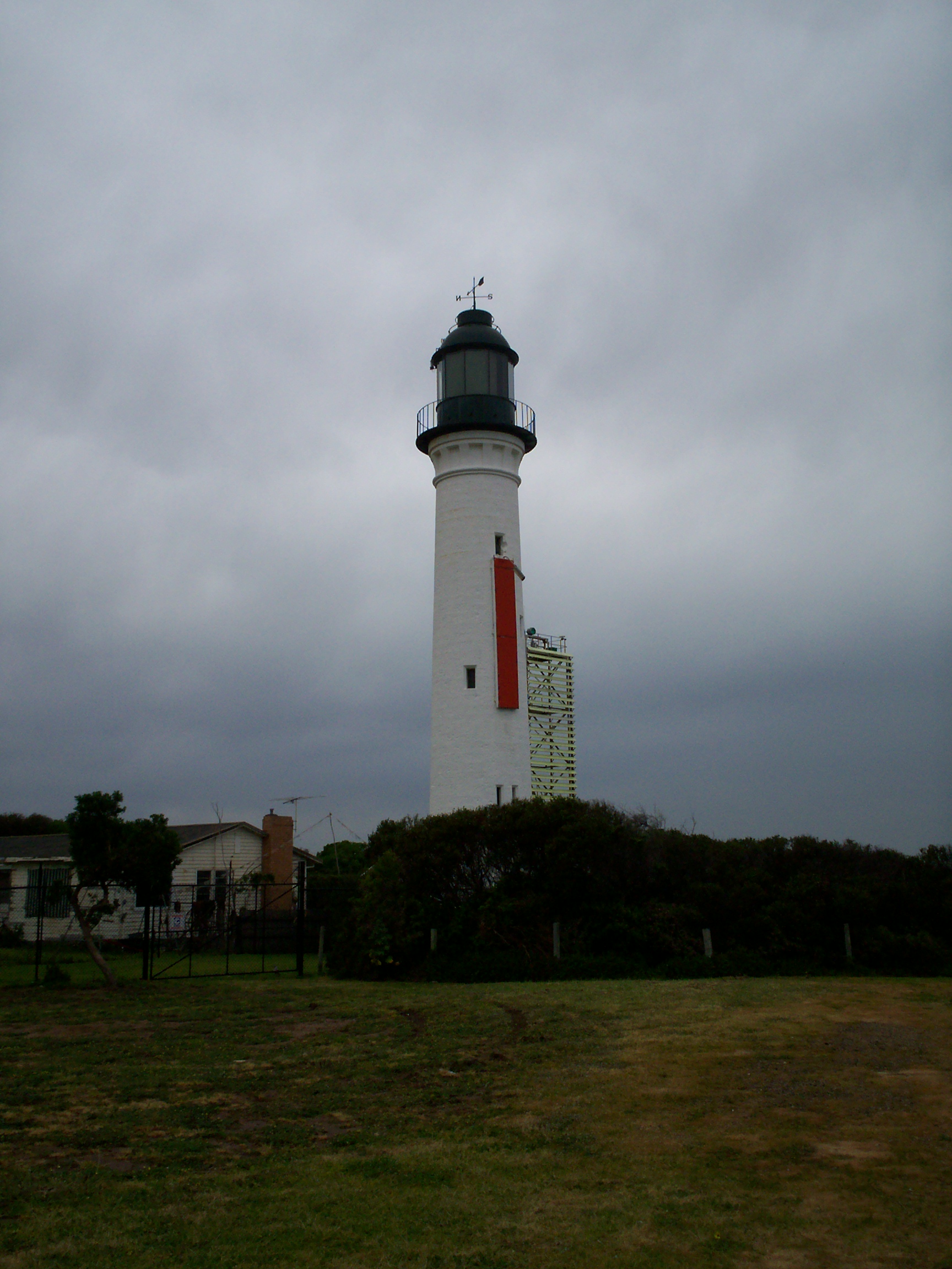
caption = Queenscliff Lighthouse, an icon of the town
lga = Borough of Queenscliffe
postcode = 3225
pop = 3,725
est =
elevation= 15
maxtemp = 20.9
mintemp = 12.9
rainfall = 580.3
stategov = Bellarine
fedgov = Corangamite
dist1 = 104
dir1 = S
location1=Melbourne
dist2 = 30
dir2 = SE
location2=Geelong Queenscliff is a small town on the
Bellarine Peninsula at the entrance toPort Phillip in southernVictoria, Australia and is bounded on its north side by the environmentally important Swan Bay. It is part of theBorough of Queenscliffe , which also includes the neighbouring town ofPoint Lonsdale . It is one of the endpoints of theSearoad ferry to Sorrento on theMornington Peninsula . It is also the terminus of both theBellarine Peninsula Railway and theBellarine Rail Trail . At the 2001 census, Queenscliff had a population of 3,725.Census 2001 AUS|id=UCL243800|name=Queenscliff (Urban Centre/Locality)|accessdate=2007-06-30|quick=on]ettlement
The area was first inhabited by the Bengalat Bulag clan of the
Wautharong tribe, a member of theKulin nation. European explorers first arrived in 1802, Lieutenant John Murray in January and CaptainMatthew Flinders in April. The first European settler in the area was convict escapee William Buckley who lived there between 1803 and 1835.Permanent settlement began in 1836 when squatters arrived in the area known as Whale Head. The name was changed to Shortland's Bluff in honour of Lieutenant
John Shortland , who assisted in the surveying ofPort Phillip . Land sales began in1853 , the same year the name was changed to Queenscliff by Lieutenant Charles La Trobe, in honour of Queen Victoria. [ [http://www.queenscliffe.vic.gov.au/Page/Page.asp?Page_Id=45 Borough of Queenscliffe Frequently asked questions] ]Originally a
fishing village , Queenscliff soon became an importantcargo port , servicingsteamship s trading in Port Philip. A shipping pilot service was established in1841 , andlighthouse s were constructed in1862 . Queenscliff also played an importantmilitary role. [ [http://www.greatoceanroad.org/bellarinepeninsula/queenscliff/history.asp# Queenscliff history and heritage] ]Fort Queenscliff was built between1879 and1889 , and operated as the command centre for a network offort s around the port. [ [http://www.queenscliffe.vic.gov.au/Directory/S2_Item.asp?Mkey=574&S3Key=89 Fort Queenscliff tours] ] The complex ceased operations as a fort in1947 , and has since been used by the army for administrative purposes. In2005 , the area previously holding the Fort Barracks was subdivided into residential blocks, and renamed Shortlands Beach, in honour of the town's prior name. The proposed redevelopment drew fierce criticism from some sectors of the community, who feared loss of an important heritage site. The original fort remains on site.Queenscliff became a tourist destination in the late 1800s, with visitors arriving from
Melbourne via a two hour journey on thepaddle steamer , "Ozone". [ [http://home.vicnet.net.au/~maav/ozone.htm "Ozone" 1886-1925] ] The opening of arailway line to Geelong in1879 [ [http://www.bpr.org.au/index.php?option=com_content&task=view&id=14&Itemid=64 Bellarine Peninsula Railway history] ] brought increasing tourists to the area, and numerous luxury hotels (orcoffee palace s) were built to accommodate this. The Palace Hotel was built in 1879 (later renamed Esplanade Hotel), the Baillieu Hotel was built in 1881 (later renamed Ozone Hotel), [ [http://www.theage.com.au/news/National/Baillieus-lead-fight-to-save-Ozone/2005/04/03/1112489345427.html News item on the closure of the Ozone hotel] ] the Vue Grande Hotel was built in 1883, and the Queenscliff Hotel was built in 1887. The advent of the car saw Queenscliff drop in popularity as a tourist destination, as tourists were no longer dependent on its role as a transport hub. The railway ceased weekly passenger services in 1950, and was closed in 1976.The 1980s saw a return in the town's tourist popularity. [ [http://www.theage.com.au/news/victoria/queenscliff/2005/02/17/1108500207244.html "The Age" Travel] ]
Festivals
The Queenscliff Seafood Feast [ [http://www.seafoodfeast.org/ Queenscliff Seafood Feast] ] , a culinary festival using fresh seafood donated by local fishermen, is held annually on Good Friday to raise funds for the Royal Children's Hospital.
Queenscliff is also home to the
Queenscliff Music Festival [ [http://www.qmf.net.au/ Queenscliff Music Festival] ] , a popular annual music festival, held on the last weekend of November, which attracts both local and international acts and is an important part of the town's tourist industry.References
ee also
*
Bellarine Peninsula Railway
*Bellarine Rail Trail
*Borough of Queenscliffe
*Fort Queenscliff External links
* [http://localhero.biz/article/permatitle/history_of_queenscliff,_victoria/ History of Queenscliff]
* [http://www.zades.com.au/qcliffhs/ Queenscliffe Historical Museum]
Wikimedia Foundation. 2010.