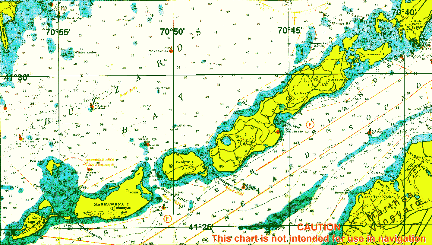
- Nashawena Island
-
The Elizabeth Islands 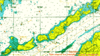
Major Islands listed in order from east to west Nonamesset Uncatena Naushon Pasque Nashawena Penikese Cuttyhunk Minor Islands: Bachelor Baret Bull Cedar Gosnold Gull Rock Veckatimest Weepecket Islands Nashawena Island is the second largest of the Elizabeth Islands of Dukes County, Massachusetts, USA. It lies between Cuttyhunk Island to the west and Pasque Island to the east. The island has a land area of 7.076 km² (2.732 sq mi, or 1,748.4 acres) and an official permanent population of 2 persons as of the 2000 census. [1] The island is part of the town of Gosnold, Massachusetts.
Coordinates: 41°25′44.69″N 70°52′29.90″W / 41.4290806°N 70.874972°W
Categories:
Wikimedia Foundation. 2010.