- Ciudadela, Buenos Aires
-
This article is about the city in Argentina. For the town in Minorca, see Ciutadella de Menorca. For the gateway in Montevideo, see Ciudadela, Montevideo.
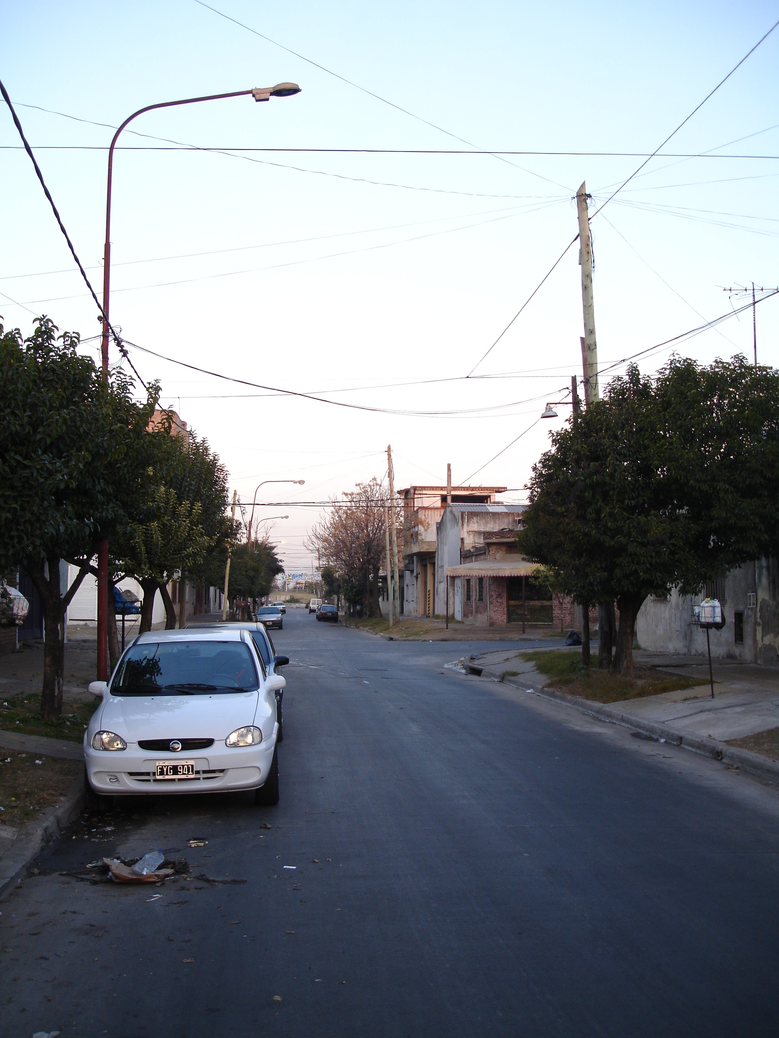
Ciudadela Street in North Ciudadela Location in Greater Buenos Aires
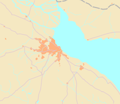
 Ciudadela
Coordinates: 34°38′S 58°32′W / 34.633°S 58.533°WCoordinates: 34°38′S 58°32′W / 34.633°S 58.533°W Country  Argentina
Province  Buenos Aires
Partido Tres de Febrero Founded December 1, 1910 Elevation 23 m (75 ft) Population (2001 census [INDEC]) - Total 73,155 CPA Base B 1702 Area code(s) +54 11 Ciudadela is a city in Greater Buenos Aires, Buenos Aires Province, Argentina. It is located in the Tres de Febrero Partido, immediately to the west of the neighborhood of Liniers in Buenos Aires city proper. It is separated from the city by General Paz avenue.
Contents
History
Home to a cattle ranch in colonial times (Rancho de Castro), the area was the site of a base of operations for Viceroy Santiago de Liniers during the British invasions of the Río de la Plata of 1806. The first settlement was named Villa Liniers in his honor, and was the site of an important military barracks after 1902. The town began to take shape with the arrival of the Ferrocarril Oeste railway in 1910, and was officially established that year. Ciudadela gradually grew around the railway station, and eventually merged into the Greater Buenos Aires urban agglomeration.
Fuerte Apache, whose official name is "Barrio Ejército de los Andes" (Army of the Andes Neighbourhood), is a public housing neighborhood in Ciudadela. The subject of ongoing controversy, its colloquial name stems from Fort Apache, The Bronx, a 1981 movie about a crime-ridden part of New York City.
Ciudadela had 73,155 inhabitants according to 2001 census, and features a lively commerce hub along Rivadavia Avenue, as well as two Jewish cemeteries. The historic barracks are now the Argentine Army Museum.
Notable Births
- Fernando Gago - professional footballer
- Carlos Tevez - professional footballer
Neighborhoods
• Barrio Ejército de los Andes
• Villa Ingenieros 34°37′12.46″S 58°32′31.56″W / 34.6201278°S 58.5421°W
• Villa Reconquista 34°37′39.34″S 58°32′24.28″W / 34.6275944°S 58.5400778°W
• Villa General Arenales 34°37′48.75″S 58°33′18.04″W / 34.6302083°S 58.5550111°W
• Villa El Paredón o Los Russos 34°37′17.65″S 58°32′56.38″W / 34.6215694°S 58.5489944°W
• Villa Matienzo 34°37′14.85″S 58°32′12.56″W / 34.6207917°S 58.5368222°W
• Barrio San Eduardo 34°37′26.72″S 58°33′13.64″W / 34.6240889°S 58.5537889°W
• Barrio Ramón Carrillo 34°37′43.77″S 58°33′33.42″W / 34.628825°S 58.5592833°W
• Villa Herminia 34°37′38.75″S 58°32′02.12″W / 34.6274306°S 58.5339222°W
• Villa General Paz 34°37′57.60″S 58°31′54.86″W / 34.632667°S 58.5319056°W
• Villa La Paz 34°37′47.04″S 58°31′56.49″W / 34.6297333°S 58.5323583°W
• Villa Maldonado 34°38′27.47″S 58°32′46.13″W / 34.6409639°S 58.5461472°W
• Villa Weigel 34°38′42.01″S 58°31′59.04″W / 34.6450028°S 58.5330667°W
• Sol de Mañana 34°37′53.70″S 58°32′58.33″W / 34.631583°S 58.5495361°W
• Villa Herminda 34°38′00.20″S 58°32′17.56″W / 34.633389°S 58.5382111°W
• Villa Viejo Artes 34°37′23.71″S 58°33′11.20″W / 34.6232528°S 58.553111°W
External links
- Municipal information: Municipal Affairs Federal Institute (IFAM), Municipal Affairs Secretariat, Ministry of Interior, Argentina. (Spanish)
- (Spanish) Cabildo Abierto de Ciudadela
- (Spanish) History of Ciudadela
Categories:- Tres de Febrero
- Populated places in Buenos Aires Province
- Populated places established in 1910
- Buenos Aires Province geography stubs

Wikimedia Foundation. 2010.