- Chevaleret (Paris Métro)
-
Chevaleret 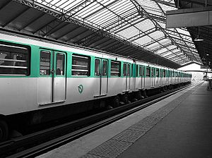
Date opened March 1st 1909 Municipality/
Arrondissementthe 13th arrondissement of Paris Fare zone 1 Next stations Paris Métro Line 6 Direction
Charles de Gaulle – ÉtoileDirection
NationNationale Quai de la Gare List of stations of the Paris Métro 
 Location of metro station
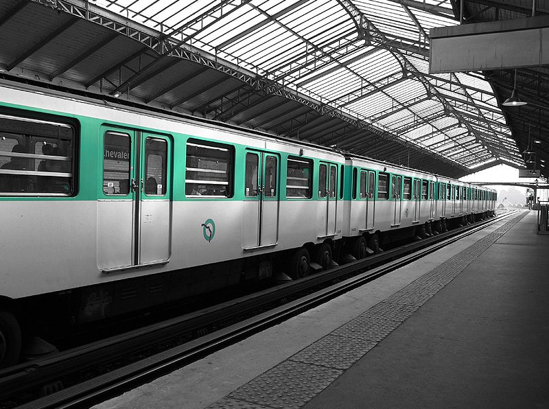
Chevaleret is an elevated station of the Paris Métro serving line 6 at the intersection of the Rue du Chevaleret and the Boulevard Vincent Auriol in the 13th arrondissement.
The station opened on 1 March 1909 with the opening of the original section of line 6 from Place d'Italie to Nation (although part of line 5—some dating back to 2 October 1900—was incorporated into line 6 on 12 October 1942). It is named after the Rue de Chevaleret, a street that already existed in 1670, and was named after the locality, which in turn was probably named after its owner.
Nearby are the Pitié-Salpêtrière Hospital and the Ministry of Finance.
Paris Métro Line 6 Charles de Gaulle — Étoile


 • Kléber • Boissière • Trocadéro
  • Passy • Bir-Hakeim • Dupleix • La Motte-Picquet — Grenelle
 • Cambronne • Sèvres — Lecourbe • Pasteur
  • Montparnasse — Bienvenüe
 • Edgar Quinet • Raspail • Denfert-Rochereau
  • Saint-Jacques • Glacière • Corvisart • Place d'Italie
 • Nationale • Chevaleret • Quai de la Gare • Bercy
  • Dugommier • Daumesnil • Bel-Air • Picpus • Nation
Coordinates: 48°50′06″N 2°22′05″E / 48.834938°N 2.368082°ECategories:- Paris Métro line 6
- Paris Métro stations in the 13th arrondissement of Paris
- Railway stations opened in 1909
Wikimedia Foundation. 2010.