- Otjimbingwe
-
Otjimbingwe — settlement — Location in Namibia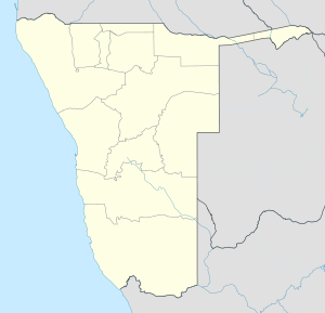
 Otjimbingwe
Coordinates: 22°21′27″S 16°7′43″E / 22.3575°S 16.12861°ECoordinates: 22°21′27″S 16°7′43″E / 22.3575°S 16.12861°E Country  Namibia
Region Erongo Region Time zone South African Standard Time (UTC+1) Otjimbingwe is a settlement in the Erongo Region of central Namibia. It has approximately 8000 inhabitants.
The Rhenish Mission Society used Otjimbingwe as a central location for their Namibian mission in 1849. Johannes Rath and his family settled in the area on 11 July that year, and the settlement was declared official in 1864. A Rhenish church, constructed in 1867, is still standing and is considered one of the city's main attractions.
In 1855, copper was found in the nearby Khomas highlands and the Walwich Bay Mining Company established its offices in the city. However the supply had been exhausted by 1860 and the buildings were shut down.
Under the control of Commissioner Dr Heinrich Ernst Göring, the place became the seat of the colonial administration, the de-facto capital, in the late 1880s. On 16 July 1888, German South-West Africa's fist post office opened in town.[1] However, control gradually shifted to Windhoek, and the civil administration moved there in 1892. The railway line from Windhoek and Swakopmund was completed in the early 1900s, bypassing Otjimbingwe, and the city greatly declined in size thereafter.
References
Categories:- Namibia geography stubs
- Erongo Region
- Populated places in Namibia

Wikimedia Foundation. 2010.