- North River (Iowa)
-
North River River 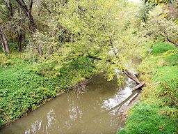 The North River as viewed from the Great Western Trail in northwestern Warren County
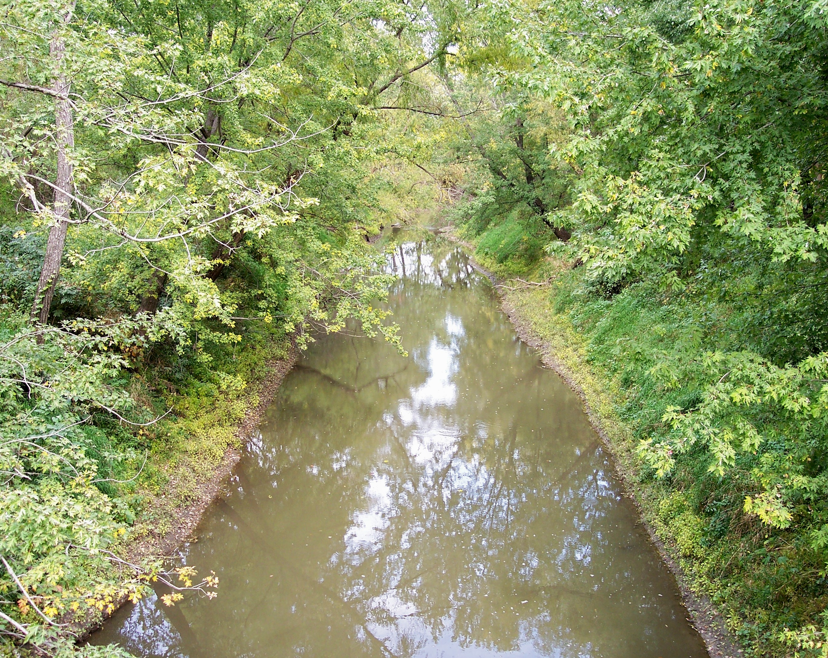
Country US State Iowa Districts Polk County, Iowa, Warren County, Iowa, Madison County, Iowa, Adair County, Iowa, Guthrie County, Iowa Source - coordinates 41°31′26″N 94°28′52″W / 41.524°N 94.481°W Mouth Des Moines River - elevation 758 ft (231 m) - coordinates 41°30′54″N 93°26′49″W / 41.515°N 93.447°W  The North River as viewed from a rural road in northwestern Warren County
The North River is a tributary of the Des Moines River in south-central Iowa in the United States. It is 103 miles (166 km) long[1] and drains an area of 349.2 square miles (904 km2).[2] Via the Des Moines River, it is part of the watershed of the Mississippi River.
The North River rises northeast of Casey in southern Guthrie County and flows generally eastwardly through Adair, Madison and Warren counties, past Carlisle, into southeastern Polk County,[3] where it joins the Des Moines River 10 miles (16 km) southeast of Des Moines.[4]
In Madison County, it collects a short tributary known as the North Branch North River.[5]
See also
- List of Iowa rivers
References
- ^ U.S. Geological Survey. National Hydrography Dataset high-resolution flowline data. The National Map, accessed May 26, 2011
- ^ Iowa Department of Natural Resources. Watershed Monitoring and Assessment: North River
- ^ DeLorme (1998). Iowa Atlas & Gazetteer. Yarmouth, Maine: DeLorme. ISBN 0-89933-214-5.
- ^ Columbia Gazetteer of North America entry for North River
- ^ U.S. Geological Survey Geographic Names Information System: North Branch North River
Categories:- Rivers of Iowa
- Geography of Adair County, Iowa
- Geography of Guthrie County, Iowa
- Geography of Madison County, Iowa
- Geography of Polk County, Iowa
- Geography of Warren County, Iowa

Wikimedia Foundation. 2010.