- Aghireşu, Cluj
Infobox Settlement
name = Aghireşu|other_name=Egeres
official_name =
settlement_type = Commune
total_type =
motto =
imagesize =
image_caption = Ruins of Aghireşu castle
flag_size =
image_
seal_size =
image_shield =
shield_size =
image_blank_emblem =
blank_emblem_type =
blank_emblem_size =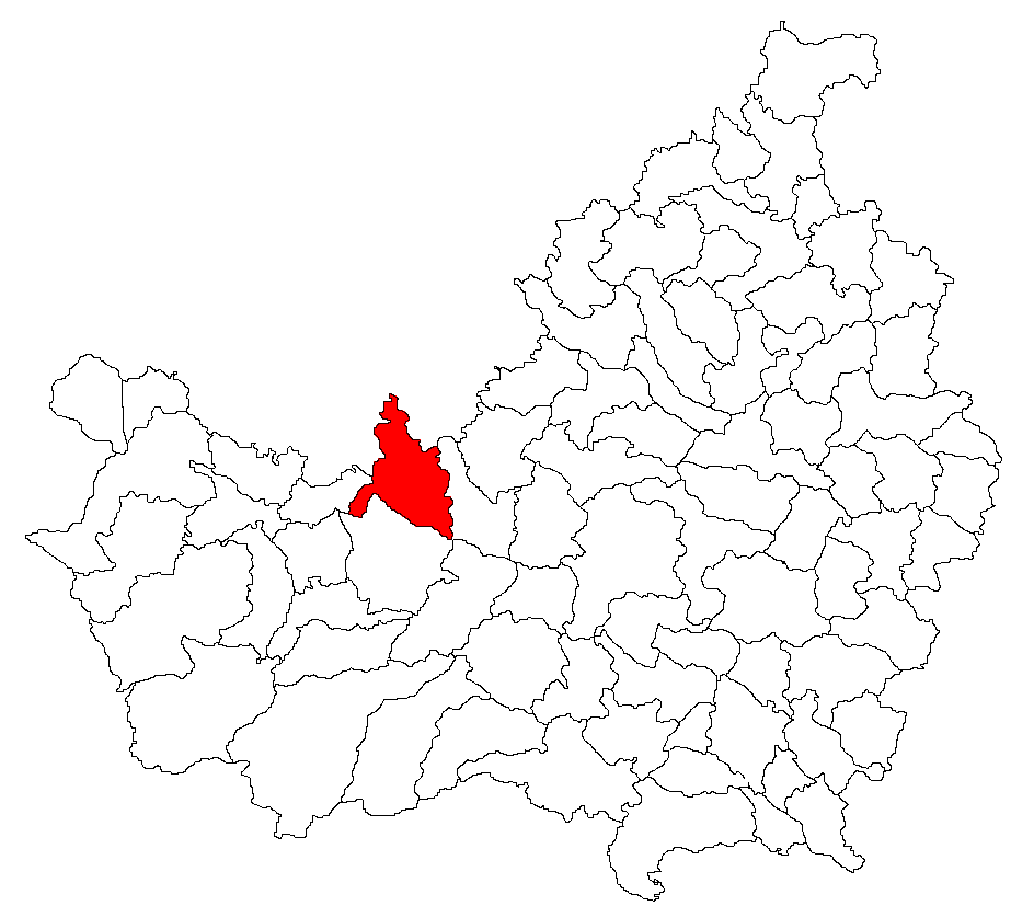
mapsize =
map_caption = Location of the settlement on County map
pushpin_
pushpin_label_position = none
pushpin_map_caption = Location on Romania map
pushpin_mapsize =
latd= 46
latm= 52
lats= 21
latNS= N
longd= 23
longm= 14
longs= 30
longEW=E
coordinates=coor dms|46|52|21|N|23|14|30|E|type:commune
subdivision_type = Country
subdivision_name = ROU
subdivision_type1 = County
subdivision_name1 = Cluj County
subdivision_type2 = Status
subdivision_name2 = Commune ("Comună")
seat_type = Commune seat
seat = Aghireşu
parts_type = Villages
parts_style = para
parts = Aghireşu, Aghireşu-Fabrici, Arghişu, Băgara, Dâncu, Dorolţu, Inucu, Leghia, Macău, Ticu, Ticu-Colonie
government_type =
leader_title = Mayor
leader_name = Lehene Sorin Gelu
leader_party =PSD
established_title = Settled
established_date = 1263
government_footnotes =
area_total_km2 = 105.79
area_land_km2 =
area_water_km2 =
area_footnotes =
elevation_footnotes =
elevation_m = 447
elevation_max_m =
elevation_min_m =
population_as_of = July 1, 2007
population_footnotes = [cite web | url = http://www.insse.ro/cms/rw/resource/populatia_stab_1%20iulie2007.htm | title = Population as of July 1, 2007| date = April 4, 2008 | accessdate = 2008-05-04 | publisher = INSSE | language = Romanian]
population_note =
population_total = 7156
population_density_km2 = auto
timezone = EET
utc_offset = +2
timezone_DST = EEST
utc_offset_DST = +3
postal_code_type = Postal Code
postal_code = 407005
area_code = +40 x64 [x is a digit indicating the operator: 2 for the former national operator,Romtelecom , and 3 for the other ground telephone networks]
website = http://www.cjcluj.ro/aghiresu/
footnotes =Aghireşu ( _hu. Egeres, _de. Erldorf) is a commune in
Cluj County ,Romania .The commune has an area of 105.79 km2 and a population of 7156 people (2007).
Demographics
According to the 2002 census, Romanians made up 55.25% of the population, Hungarians made up 40.84% and Roma made up 3.82%.
References
*"Atlasul localităţilor judeţului Cluj" (Cluj County Localities Atlas), Suncart Publishing House, Cluj-Napoca, ISBN 973-864300-7
External links
* [http://www.harta-turistica.ro/map.php?ID=21 Cluj County map]
* hu icon [http://sebok1.adatbank.transindex.ro/legbelso.php3?nev=Kolozs Administrative map of the county]Notes

Wikimedia Foundation. 2010.