- Malika Parbat
-
Malika Parbat 
Elevation 5,290 m (17,356 ft) Location Kaghan Valley, Khyber Pakhtunkhwa, Pakistan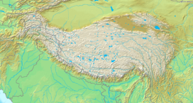
 Malika Parbat
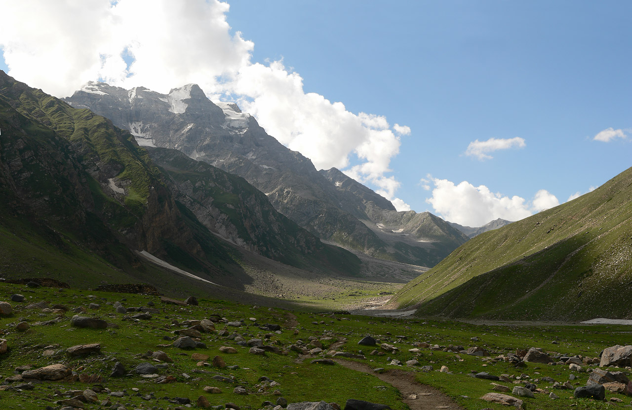
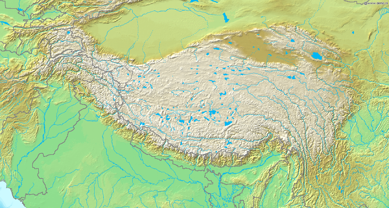
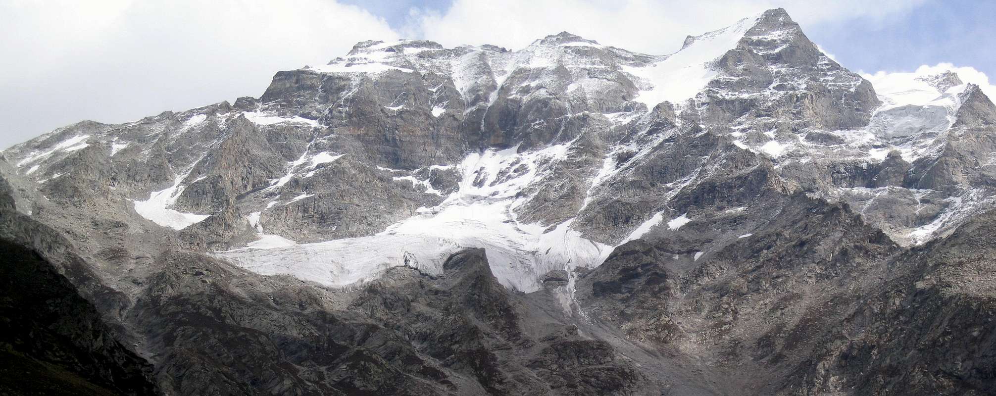
Range Himalayas Coordinates 34°48′21.25″N 73°43′27.58″E / 34.8059028°N 73.7243278°ECoordinates: 34°48′21.25″N 73°43′27.58″E / 34.8059028°N 73.7243278°E[1] Climbing First ascent 1957 Malika Parbat (Queen of the mountains) (el. 5,290 metres (17,356 ft)) is the highest peak in Kaghan Valley, Khyber Pakhtunkhwa, Pakistan about six km south of Lake Saiful Muluk near Ansoo Lake.
See also
The entire area is heaven for general tourists, anglers, trekkers and alpinists. Malika Parbat is accessible from Naran-Lake Saiful Muluk side and from Batakundi-Dadar Chitta Glacier. There are three summits that forms Malika Parbat, Malika Parbat Cresta, Malika Parbat Main Peak (South Peak) and Malika Parbat (North Peak). Both the summits stands climbed firstly by the Europeans and in 1998 by Rashid Butt and Omer. Rashid Butt lost his life while descending down the sheer slopes on South Peak. There are other peaks which offer considerable climbing difficulty in Siran Basin, Khabanar Valley and Burji Valley, while from Burawai, another cirqua of low peaks is equally good for mountaineering.
External links
Categories:- Mountains of Pakistan
- Himalayas
- Khyber Pakhtunkhwa geography stubs
Wikimedia Foundation. 2010.