- New York State Route 222
-
NYS Route 222
Route information Maintained by NYSDOT and the city of Cortland Length: 10.57 mi[2] (17.01 km) Existed: 1930[1] – present Major junctions West end:  NY 38 in Groton
East end: 

 US 11 / NY 13 / NY 41 in Cortland
Location Counties: Tompkins, Cortland Highway system Numbered highways in New York
Interstate • U.S. • N.Y. (former) • Reference • County←  NY 221
NY 223  →
→New York State Route 222 (NY 222) is an east–west state highway in central New York, United States. It runs from NY 38 in the village of Groton in northeastern Tompkins County to the conjoined routes of U.S. Route 11, NY 13, and NY 41 in the city of Cortland in western Cortland County. NY 222 passes through the town of Cortlandville, where it intersects NY 281 and serves the Cortland County – Chase Field Airport.
Contents
Route description
 Eastbound on NY 222 in Cortland
NY 222 begins at an intersection with NY 38 in the village of Groton. It heads due east through the village as East Cortland Street into the surrounding town of Groton, where it becomes Cortland Road as it passes through rural northeastern Tompkins County. At Lafayette Corners, NY 222 veers northeastward to avoid a large hill to the south. Upon passing the northern tip of the land mass, the route turns to the southeast and enters Cortland County. In the town of Cortlandville, NY 222 follows a northeasterly routing as it passes by the Cortland County – Chase Field Airport and intersects NY 281, a route that partially serves as a western bypass of downtown Cortland. NY 222 continues eastward into downtown Cortland, where it ends at U.S. Route 11, NY 13, and NY 41, all co-signed along Church Street. NY 222 has a short overlap with US 11 and NY 41 between Church Street and Main Street. All of NY 222 within the city of Cortland is maintained by the city.
History
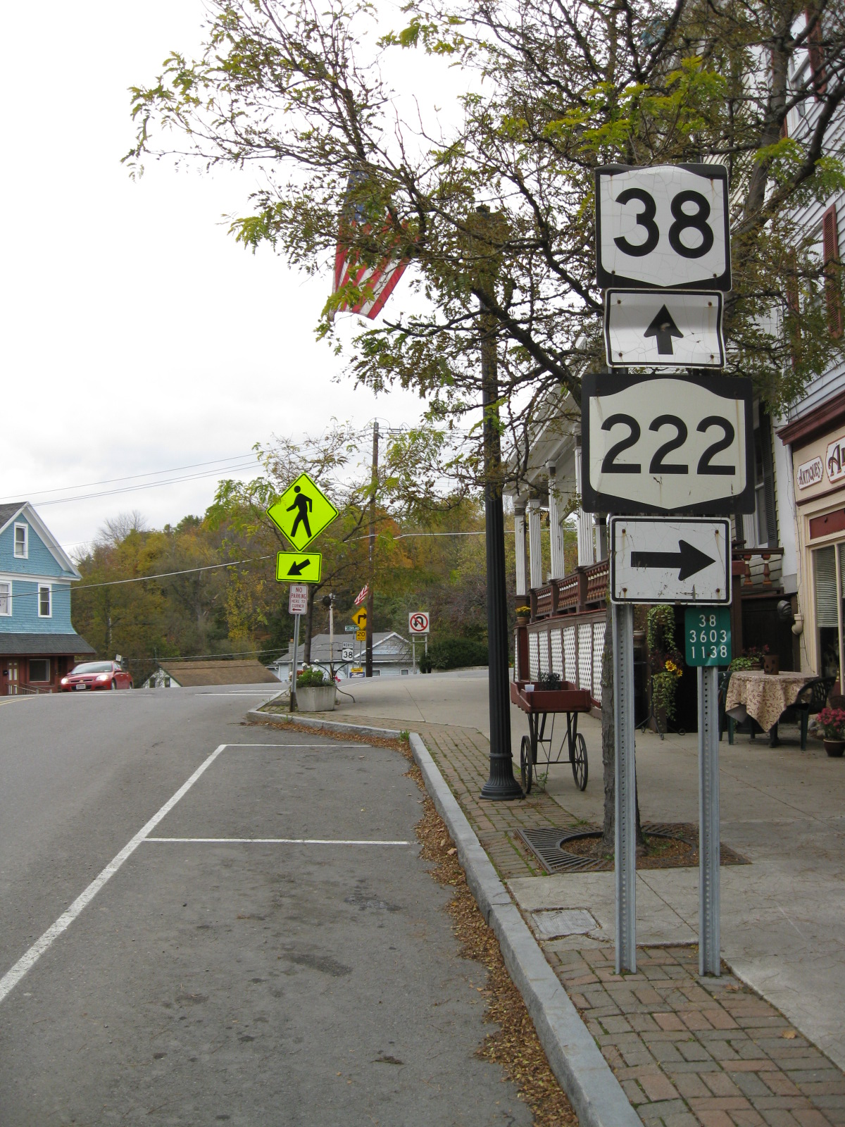
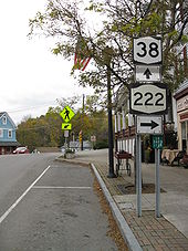 NY 38 at the intersection with NY 222 in Groton
NY 222 was assigned as part of the 1930 renumbering of state highways in New York and has not been changed since.[1]
Major intersections
County Location Mile[2] Destinations Notes Tompkins Village of Groton 0.00 NY 38Cortland Cortlandville 9.17  NY 281
Cortland 10.43 US 11 north / NY 41 northWestern terminus of US 11 / NY 41 / NY 222 overlap 10.57 US 11 south / NY 13 / NY 41 southEastern terminus of US 11 / NY 41 / NY 222 overlap 1.000 mi = 1.609 km; 1.000 km = 0.621 mi References
- ^ a b Standard Oil Company of New York (1930). Road Map of New York (Map). Cartography by General Drafting.
- ^ a b "2008 Traffic Volume Report for New York State" (PDF). New York State Department of Transportation. June 16, 2009. p. 191. https://www.nysdot.gov/divisions/engineering/technical-services/hds-respository/NYSDOT%20TVR%202008%20by%20Route.pdf. Retrieved February 1, 2010.
External links
Categories:- State highways in New York
- Transportation in Cortland County, New York
- Transportation in Tompkins County, New York


Wikimedia Foundation. 2010.