- Maseru District
-
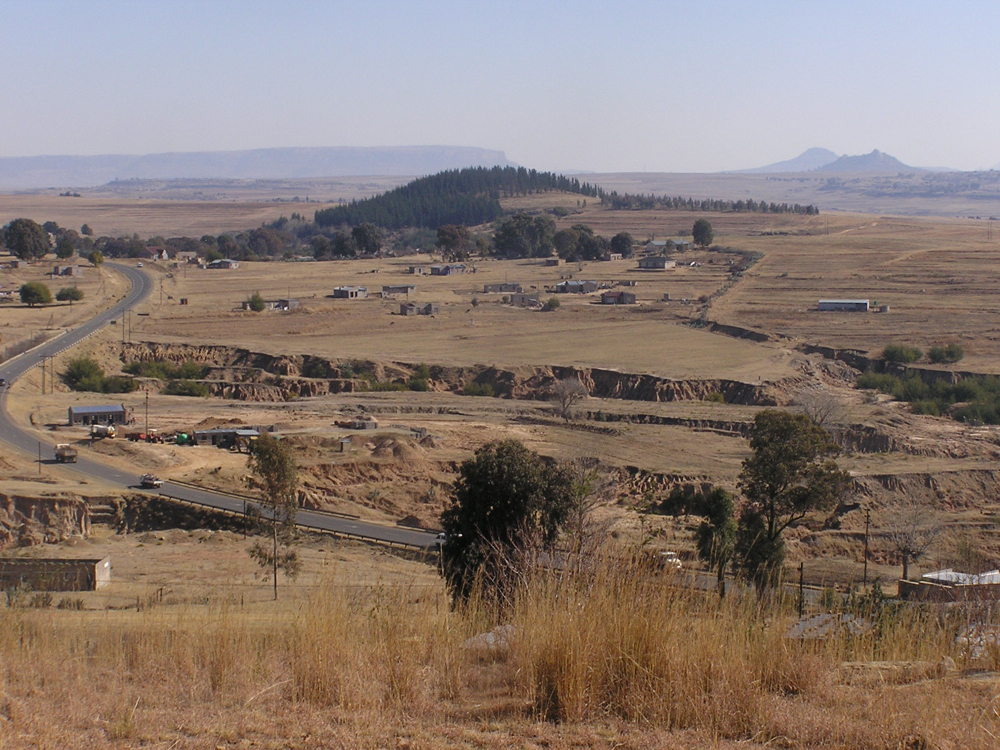
Maseru — District — Rural Maseru District seen from Thaba Bosiu Plateau Map of Lesotho with the district highlighted
Country  Lesotho
Area - Land 1,652.1 sq mi (4,279 km2) Population (2006) - Total 429,823 - Density 259/sq mi (100/km2) Time zone CAT (UTC+2) Maseru is a district of Lesotho. It has an area of 4,279 km² and a population in 2006 of approximately 429,823.[1] Maseru is also the name of the district's capital, and is the only city in the district. Additionally it is the capital of the country. It is the largest urban area in the country, and therefore the only city (all other urban areas are considered towns). The name Maseru supposedly means "Place of the red earth."[citation needed]
Contents
Geography
The city of Maseru sits right on Lesotho's western border with the Free State Province of South Africa, the frontier being the Caledon River (Sesotho: Mohokare). Maseru borders on the following districts:
- Berea District - north
- Thaba-Tseka District - east
- Mohale's Hoek District - south
- Mafeteng District - southwest
Constituencies
Constituencies of Maseru District:[2]
- Machache
- Makhaleng
- 'Maletsunyane
- Maseru Central[3]
- Matsieng
- Thaba-Bosiu
- Thaba-Putsoa
Community Councils
Community councils of Maseru District:[2]
- Stadium Area[3]
- Telle
Climate
Climate data for Maseru District Month Jan Feb Mar Apr May Jun Jul Aug Sep Oct Nov Dec Year Average high °C (°F) 27
(81)27
(81)25
(77)22
(72)19
(66)16
(61)17
(63)21
(70)23
(73)28
(82)28
(82)29
(84)23.5
(74.3)Average low °C (°F) 15
(59)15
(59)12
(54)7
(45)6
(43)2
(36)0
(32)5
(41)5
(41)12
(54)14
(57)15
(59)9.0
(48.2)Rainfall mm (inches) 146
(5.75)53
(2.09)105
(4.13)33
(1.3)43
(1.69)51
(2.01)0
(0)5
(0.2)2
(0.08)16
(0.63)127
(5)68
(2.68)649
(25.55)Source no. 1: [4] Source no. 2: [5] References
- ^ Lesotho Bureau of Statistics. Table A.2, Tables_A_Geography.xls, 2006.
- ^ a b Lesotho Bureau of Statistics, Village List 2006
- ^ a b c d e f g h i j k l m n Subdivison of Maseru Municipality.
- ^ Lesotho Bureau of Statistics. Tables A.6c and A.7c, Mejametalana Station, Tables_A_Geography.xls, 2008.
- ^ Lesotho Bureau of Statistics. Table A.5c, Mejametalana Station, Tables_A_Geography.xls, 2008.
Berea · Butha-Buthe · Leribe · Mafeteng · Maseru · Mohale's Hoek · Mokhotlong · Qacha's Nek · Quthing · Thaba-Tseka
 Categories:
- Districts of Lesotho
- Maseru District
- Lesotho geography stubs
Wikimedia Foundation. 2010.