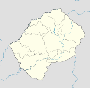
- Makhaleng
-
Makhaleng — Constituency — Geographic Center of Constituency Coordinates: 29°41′59″S 27°43′32″E / 29.69972°S 27.72556°E Country  Lesotho
District Maseru District Population (2006) - Total 21,269 Time zone CAT (UTC+2) Coordinates computed from Lesotho Villages file.[1] Makhaleng is a constituency located in the Maseru District of Lesotho. Its population in 2006 was 21,269.[2]
Community Councils
The constituency of Makhaleng includes the communities of:[3]
- Makhalaneng
- Ribaneng
References
- ^ Google Earth Download Site Retrieved 2010-07-21.
- ^ Lesotho Bureau of Statistics, 2006, Census Pre Results
- ^ Lesotho Bureau of Statistics, 2006, Village List
Categories:- Populated places in Lesotho
- Maseru District
- Lesotho geography stubs
Wikimedia Foundation. 2010.

