- National Route 3 (Argentina)
-
 Map of Argentina, showing Route 3, in red
Ruta Nacional 3 ("National Route 3") is an Argentine highway, stretching from the eastern side of the country in Buenos Aires, crossing the provinces of Buenos Aires, Río Negro, Chubut Province, Santa Cruz and Tierra del Fuego. Since its start at Avenida General Paz (A001) until the end, on the bridge over Lapataia River, it measures 3,045 kilometres (1,892 mi).
The road is interrupted between km 2674 and 2696, due to the presence of Magellan Strait, which forces access between Santa Cruz and Tierra del Fuego Provinces through Chile, over Ruta CH-255 and Ruta CH-257 paved 57 kilometres (35 mi) north of the strait and another paved and treated 148 kilometres (92 mi) long south of it. The crossing of the Magellan Strait is done in 20 minutes through the use of a ferry traversing the width of 4.65 kilometres (2.89 mi) at that point.[1]
After National Decree 1931 of 3 August 1983, this road is called Comandante Luis Piedrabuena south of National Route 22, that is starting at km marker 719.[2]
Contents
Cities
These are the main (over 5,000 inhabitants) cities and towns joined by this route, North to South. In the provinces of Santa Cruz and Tierra del Fuego towns under 5,000 inhabitants are marked in italics.
Buenos Aires Province
Length: 949 kilometres (590 mi) (from km marker 14 to 963).
- La Matanza Partido: San Justo (km 17), Isidro Casanova (km 19), Gregorio de Laferrere (km 26), González Catán (km 32), Virrey del Pino (km 38).
- Marcos Paz Partido: no towns over 5,000 people.
- Cañuelas Partido: Cañuelas (km 63-66).
- Monte Partido: San Miguel del Monte (km 109-112)
- General Belgrano Partido: no towns over 5,000 people.
- Las Flores Partido: Las Flores (km 187).
- Azul Partido: Azul (km 299).
- Benito Juárez Partido: Benito Juárez (km 399-401).
- Adolfo Gonzales Chaves Partido: Adolfo Gonzales Chaves (km 450).
- Tres Arroyos Partido: Tres Arroyos (km 491-496).
- Coronel Dorrego Partido: Coronel Dorrego (km 593).
- Coronel Rosales Partido: no towns over 5,000 people.
- Bahía Blanca Partido: access to Ingeniero White (km 677) over National Route 252, Bahía Blanca (km 681-695), access to General Daniel Cerri (km 698).
- Villarino Partido: no towns over 5,000 people.
- Patagones Partido: Carmen de Patagones (km 962).
Río Negro Province
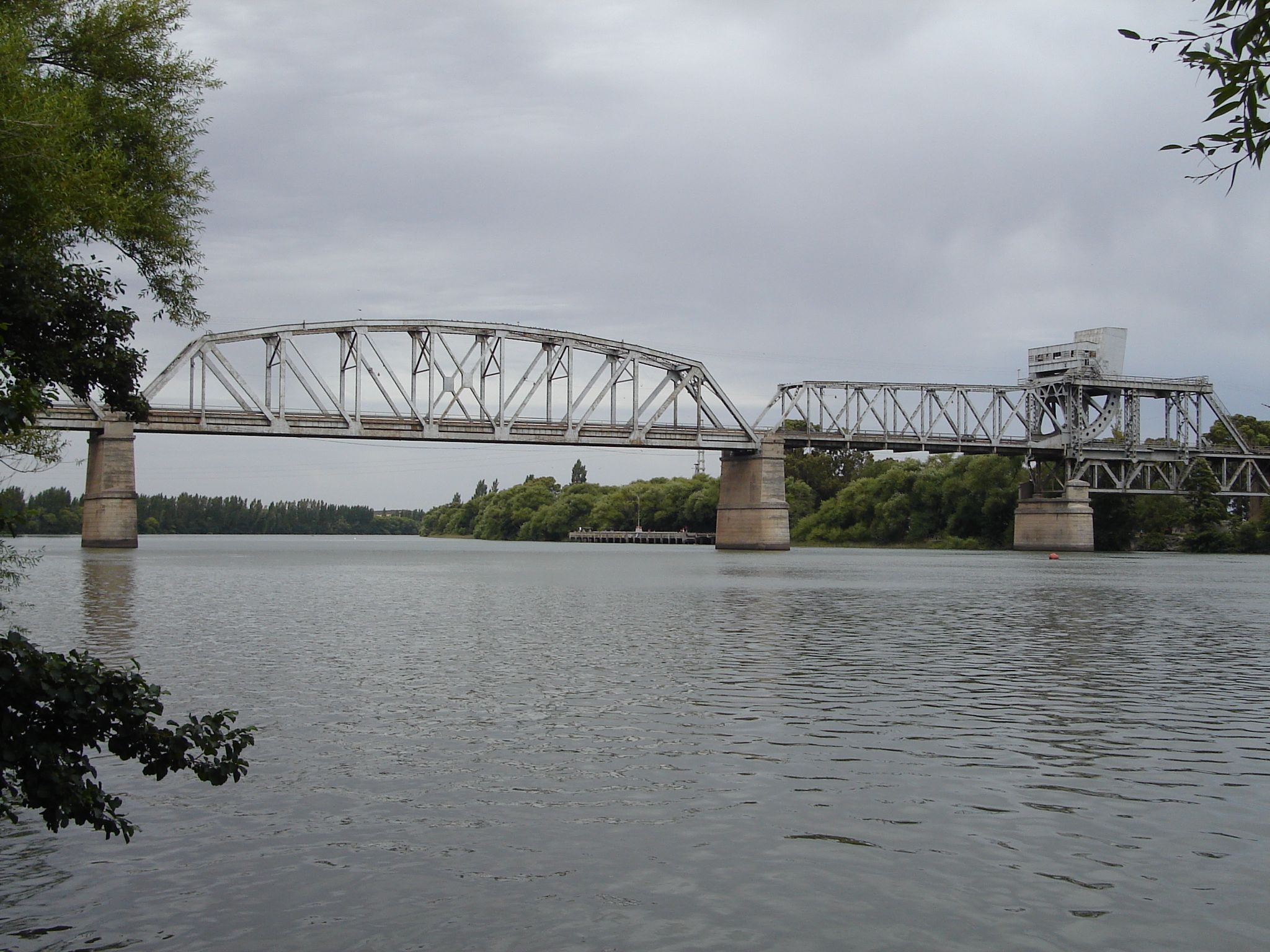
 National Route 3 over the Río Negro, between Río Negro and Buenos Aires Provinces.
Length: 339 kilometres (211 mi)(km 963-1304)
- Adolfo Alsina Department: Viedma (km 966).
- San Antonio Department: access to San Antonio Oeste (km 1139) and Sierra Grande (km 1265).
Chubut Province
Length: 552 kilometres (343 mi) (km 1304-km 1856)
- Biedma Department: access to Puerto Madryn (km 1394).
- Rawson Department: Trelew (km 1451) and access to Rawson (km 1456).
- Gaiman Department: no towns over 5,000 people.
- Florentino Ameghino Department: no towns over 5,000 people.
- Escalante Department: Comodoro Rivadavia (km 1831-1838) and Rada Tilly (km 1843).
Santa Cruz Province
Length: 818 kilometres (508 mi) (km 1856-km 2674)
- Deseado Department: Caleta Olivia (km 1908-1911).
- Magallanes Department: access to Puerto San Julián (km 2252).
- Corpen Aike Department: Comandante Luis Piedrabuena (km 2372).
- Güer Aike Department: Río Gallegos (km 2607-2609).
 Route 3 about 6km South of Ushuaia, Argentina.
Tierra del Fuego Province
Length: 363 kilometres (226 mi) (km 2696-km 3059).
- Río Grande Department: access to San Sebastián (Chile) (km 2740), Río Grande (km 2818) and Tolhuin (km 2934).
- Ushuaia Department: Ushuaia (km 3036-3041).
Tolls
In 1990 administration and maintenance of the most travelled roads was given to private companies with rights to collect tolls dividing the areas in "Corredores Viales" ("road corridors").
In 1990 the "Servicios de Mantenimiento de Carreteras" (Semacar) company, took charge of Corridor number 1, which includes Route 3 between km markers 19 and 677, in Buenos Aires Province, from the joining with Provincial Route 4 in San Justo to Bahía Blanca, with tolls collected in Cañuelas (km marker 78), Azul (km marker 263) and Tres Arroyos (km marker 523).,[3][4]
In 2003 the concession contracts expired, which lead to a modification of corridor numbers and a call for a new public bid.
Corridor Vial number 1 is now given to "Empresa Rutas al Sur" and runs from km marker 62 to 677 which corresponds to the crossing of Provincial Route 6 in Cañuelas until it joins National Route 252 in Grünbein.[5]
References
- ^ (Spanish) Transbordadora Austral Broom
- ^ (Spanish) Nuestras rutas - Dirección Nacional de Vialidad
- ^ (Spanish) Resolución 26/2003 de la Comisión de Renegociación de Contratos de Obras and Servicios Públicos
- ^ (Spanish) Atlas de Rutas Firestone 2001
- ^ (Spanish) Corredores Viales Nacionales - OCCOVI
National Roads in Argentina 1 · 3 · 5 · 7 · 8 · 9 · 11 · 12 · 14 · 16 · 18 · 19 · 20 · 22 · 23 · 25 · 26 · 33 · 34 · 35 · 36 · 38 · 40 · 50 · 51 · 52 · 60 · 64 · 65 · 66 · 68 · 74 · 75 · 76 · 77 · 78 · 79 · 81 · 86 · 89 · 95 · 98 · 101 · 105 · 117 · 118 · 119 · 120 · 121 · 122 · 123 · 127 · 130 · 131 · 135 · 136 · 141 · 142 · 143 · 144 · 145 · 146 · 147 · 148 · 149 · 150 · 151 · 152 · 153 · 154 · 157 · 158 · 168 · 173 · 174 · 175 · 177 · 178 · 188 · 193 · 205 · 226 · 228 · 229 · 231 · 232 · 234 · 237 · 242 · 249 · 250 · 251 · 252 · 259 · 260 · 281 · 288 · 293

Coordinates: 34°41′7.9″S 58°33′37.8″W / 34.685528°S 58.5605°W
Categories:- South America road stubs
- Argentina geography stubs
- Roads in Argentina
- Tourism in Argentina


Wikimedia Foundation. 2010.