- Amity Point, Queensland
Infobox Australian Place | type = town
name = Amity Point
state = qld
caption =
lga =
area = 1.7
postcode =
pop = 436 (2001)
density = 256.5
density_footnotes= [ [http://www8.abs.gov.au/censusoutput/abs@CPP.nsf/DetailsPage/UCL3012002001?OpenDocument&tabname=Details&prodno=UCL301200&issue=2001&num=&view=& 2001 Census Community Profile (ABS)] ]
est =
elevation=
maxtemp =
mintemp =
rainfall =
stategov =
fedgov =
dist1 =
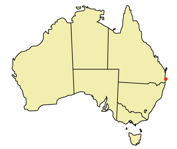
location1=Amity Point is a small close knit township located on the north western point of
North Stradbroke Island ,Queensland ,Australia in Redland Shire. The 2001census recorded a population of only 436 people, a small number for a non-farming community.Directly north is the
Coral Sea and the southern tip ofMoreton Island . To the east lies the small town of Point Lookout and to the south lies the main town of North Stradbroke Island, Dunwich.Wallum Creek snakes along the southern border of the town.Infrastructure
Amity Point has little
infrastructure built by either the private or public sectors. Due to this the towns populace have to end up driving to eitherDunwich for health and schooling facilities.Public Sector
The only government infrastructure for the town is a single
jetty , alibrary , acommunity hall and apost office . No schools or hospitals can be found in the town. This, however, is not due to a lack of government investment for the town, but rather due to the very small size of the town. There are only eighteen roads in the town, with the majority of those very small. Claytons Road, often called Point Lookout Road by the locals, due to the road leading to Point Lookout, is the only road which gives access to Amity from the rest of the island.Library
The Amity Point Library is the smallest permanent
library inAustralia being only 17.3m² on theveranda of the local community hall, open only 9.5 hours each week. It holds another record, being the only non-automated library in Australia, having nocomputer s or computing facilities. In a recent upgrade to meet health and safety regulations, the library has acquired a wallheater as well as aceiling fan in order to deal with the extreme weather the non-insulated building as well as a proper counter and shelving. The library has a sharing of capital policy with other public places in Amity, especially with the community hall and thePost Office .Until recently, one-third of the books on the shelves were not purchased by the government but donated by the locals. The library is very popular with the locals, with 327 different people being recorded walking through its doors in one month, a great achievement considering the towns population is only 436.Private Sector
Private sector investments on the town only cater for the large number of tourists which flock to the island every holiday season to make use of the towns beaches. There is a caravan park that caters for the budget traveller in the town. The cricket club at Amity is the only investment by the private sector that is catered for the local populace of the town, though it still receives much business from tourists.
Environment
Amity Point is surrounded by virgin forests to the south east and pristine beaches elsewhere.
Forests
The forests surrounding Amity Point are tropical rainforests with an amazing amount of diversity in both
flora andfauna . The fact that such life exists on the island is amazing, asNorth Stradbroke Island , along withMoreton Island to the north andSouth Stradbroke Island to the south, are made up entirely of sand, a substance that only a few number of mostlymonocotyledon plants have managed to survive in elsewhere in the world. The three islands also have species of ancientfern s that have survived only on these islands. The flowering rate of these ferns are very slow, and the trees are protected by Australian law so that only the Aboriginals, the original people of the island, may harvest them.Beaches
The beaches which Amity Point township is located on have been eroded heavily by human interference, but
Flinders Beach , 2-3 km (1¼–2 mi) to the east, and the Wanga Wallen Bank approximately convert|500|m|ft|-1|abbr=on to the south are in pristine condition, with a range of wildlife fromU-Tube worms toWobbegong s, a small brown shark, all present if looked for. Amity Point boasts some of the largest shark numbers in the world.hark Attacks
On
7 January ,2006 Sarah Kate Wiley , a tourist to Amity Point, was attacked and killed by 3bull shark s while swimming after a thunderstorm, when the water was murky. Since the event a mass culling in sharks has occurred and the call to create swimming enclosures, as well as improved emergency care, at Amity Point is getting louder. This is only the second time a shark attack has occurred at Stradbroke Island, and is very rare.References
* [http://www.stradbrokeholidays.com.au/index.php North Stradbroke Island Holiday Website]
* [http://www.amitypointcc.asn.au/ Amity Point Community Centre Inc.]
* [http://www.straddiebungalows.com.au/ Amity Bungalows]
* [http://www.smh.com.au/news/general/shark-cries-thought-to-be-joke/2006/01/08/1136655075548.html Shark Cries Thought to be Joke]
* [http://conferences.alia.org.au/public2001/magee.html Australian Library Information Association]ee also
*Redland Shire
*South East Queensland External links
* [http://www.redland.qld.gov.au/corp/ Redland Shire Council Homepage]
* [http://www.redlandstourism.com/ Redlands Tourism]
Wikimedia Foundation. 2010.