- Paint Creek (Ohio)
Infobox River
river_name = Paint Creek
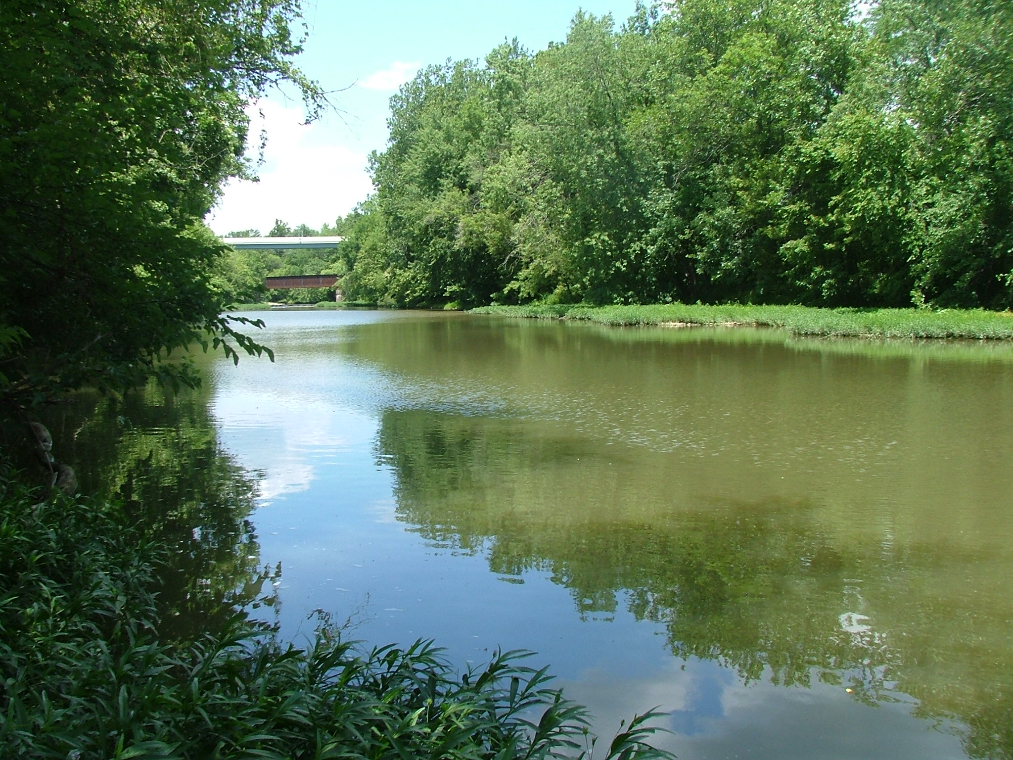
caption = Paint Creek at Greenfield
origin = 5 mi (8 km) southwest of London
mouth =Scioto River near Chillicothe
basin_countries =
length = 94.7 mi (152.5 km)
elevation = 1,100 ft (335 m) U.S. Geological Survey. Florence quadrangle, Ohio. 1:24,000. 7.5 Minute Series. Washington D.C.: USGS, 1991.]
mouth_elevation = ~ 590 ft (180 m) U.S. Geological Survey. Chillicothe East quadrangle, Ohio. 1:24,000. 7.5 Minute Series. Washington D.C.: USGS, 1992.]
discharge =
watershed = 1,143 mi² (2960 km²)Paint Creek is a
tributary of theScioto River , 94.7 mi (152.5 km) long, Ohio Department of Natural Resources. [http://www.dnr.state.oh.us/streams/ "A Guide to Ohio Streams."] [http://www.dnr.state.oh.us/streams/chapter10.pdf Chapter 10: Major Ohio Watersheds (pdf)] ] in south-centralOhio in theUnited States . [http://www.bartleby.com/69/7/P00307.html Columbia Gazetteer of North America entry] ] Via the Scioto and Ohio Rivers, it is part of the watershed of theMississippi River . It drains an area of 1,143 mi² (2960 km²).Paint Creek rises in southwestern Madison County and flows initially south-southeastwardly through Fayette County and along the boundaries of Highland and Ross Counties, past the towns of Washington Court House and Greenfield. Downstream of Greenfield, a
dam causes the stream to form Paint Creek Lake, which is the site of Paint Creek State Park. Below the dam, Paint Creek flows eastwardly through Ross County, past Bainbridge and just to the south of Chillicothe to its confluence with the Scioto River. *DeLorme (1991). "Ohio Atlas & Gazetteer". Yarmouth, Maine: DeLorme. ISBN 0-89933-233-1 ]Tributaries
Principal tributaries include of Paint Creek include:
*Rattlesnake Creek flows to Paint Creek Lake.
*North Fork Paint Creek, [ Gnis|1066866|North Fork Paint Creek ] 46.6 mi (75 km) long, rises in southeastern Madison County and flows generally southeastwardly through Fayette and Ross Counties, past Frankfort, to its confluence with Paint Creek near Chillicothe. The North Fork drains an area of 236 mi² (611 km²).Variant names
According to the
Geographic Names Information System , Paint Creek has also been known historically as: [ Gnis|1066883|Paint Creek ]
*Alamoneetheepeece
*Olomon Sepung
*Olomoni Siipunk
*Chillicotha Creek
*Pain Creek
*Paint River
*Pait Creekee also
*
List of Ohio rivers References
External links
* [http://www.dnr.state.oh.us/parks/parks/paintcrk.htm Paint Creek State Park website]
Wikimedia Foundation. 2010.