- Cölbe
-
Cölbe 

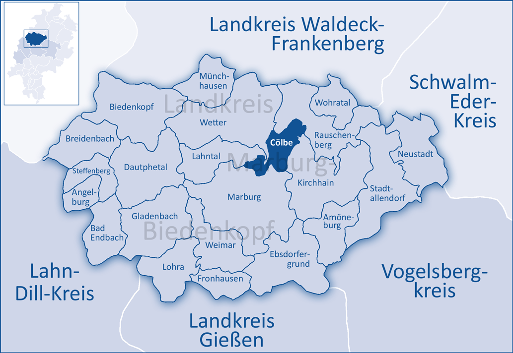
 CölbeLocation of Cölbe within Marburg-Biedenkopf district
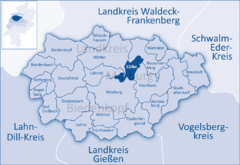
Coordinates 50°51′2″N 8°47′3″E / 50.85056°N 8.78417°ECoordinates: 50°51′2″N 8°47′3″E / 50.85056°N 8.78417°E Administration Country Germany State Hesse Admin. region Gießen District Marburg-Biedenkopf Mayor Volker Carle (Ind.) Basic statistics Area 26.66 km2 (10.29 sq mi) Elevation 213 m (699 ft) Population 6,964 (31 December 2010)[1] - Density 261 /km2 (677 /sq mi) Other information Time zone CET/CEST (UTC+1/+2) Licence plate MR Postal code 35091 Area codes 06421/ 06427 Website www.coelbe.de 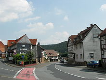 Kasseler Straße in Cölbe
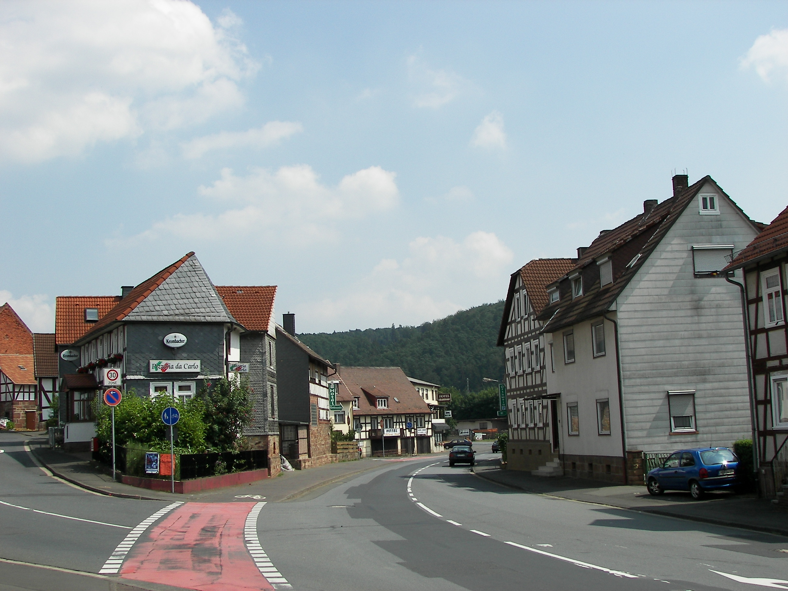
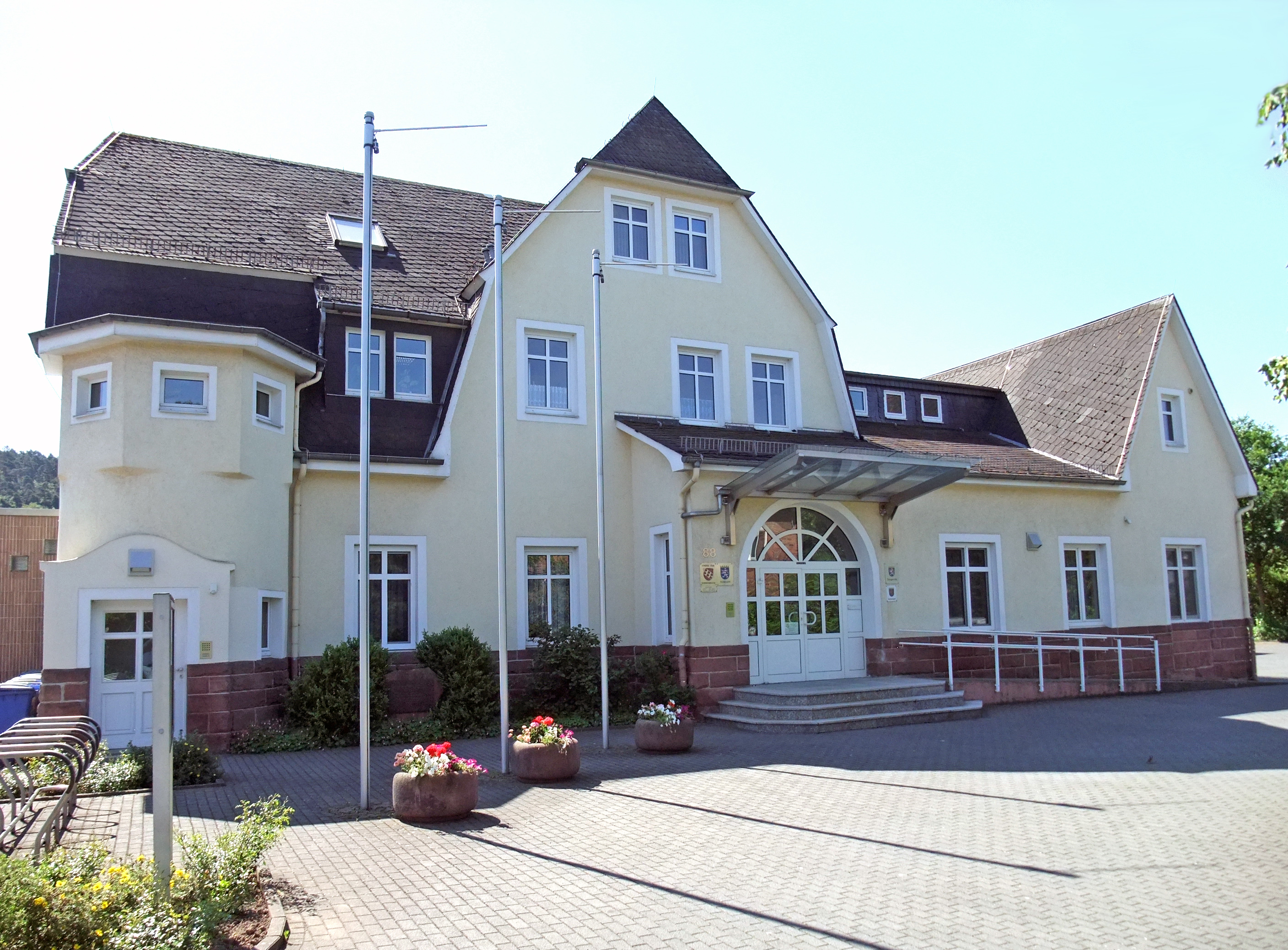
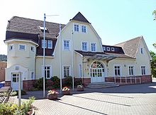 The town hall (former railway station)
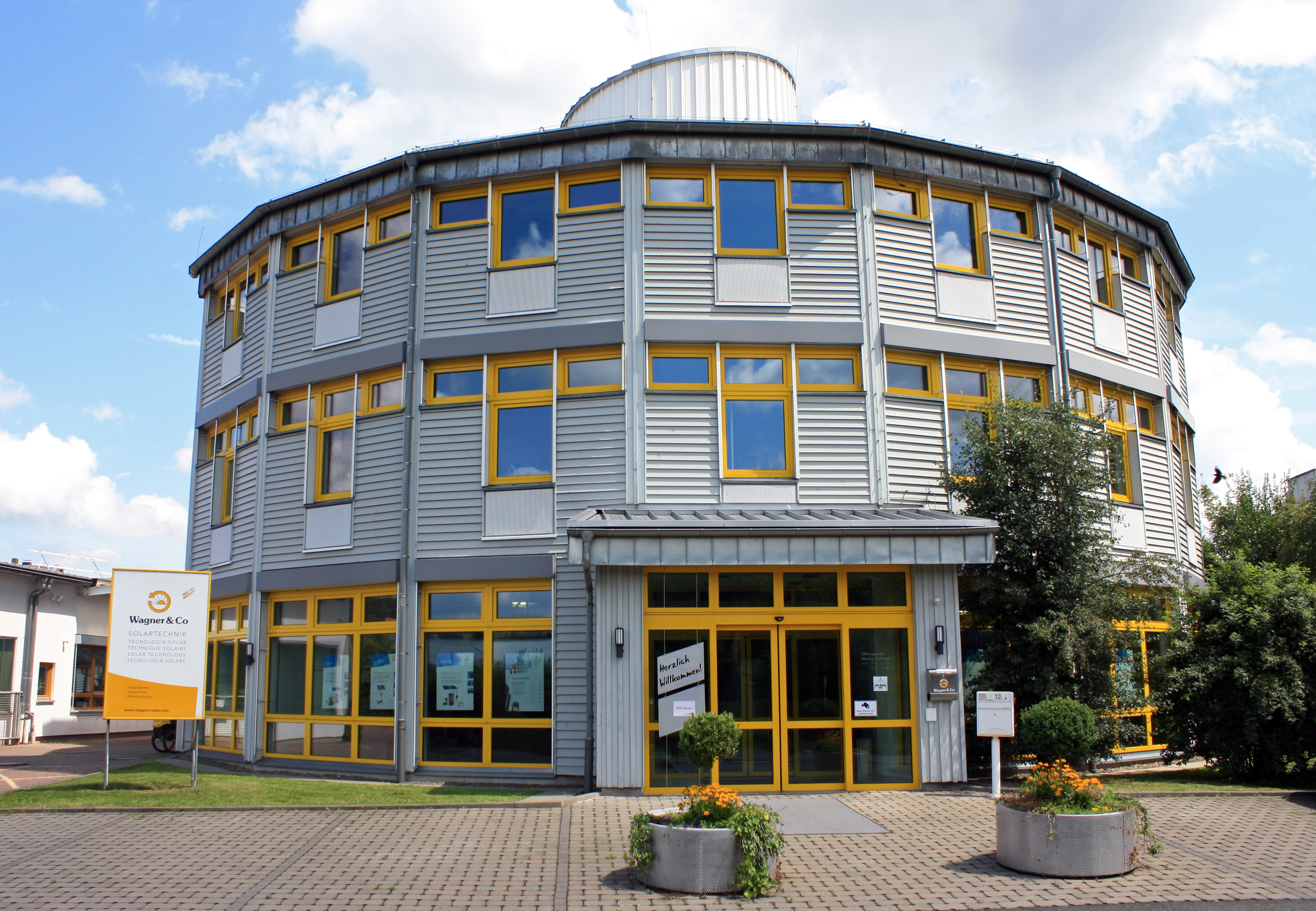
 Passive solar office of Wagner company
Cölbe is a community in Marburg-Biedenkopf district in Hesse, Germany.
Contents
Location
Cölbe's municipal area lies on the southern edge of the Burgwald, a low mountain range and part of the Hessisches Bergland (Hessian Highland), and borders directly on the university city of Marburg to the south. The namesake constituent community is found on a bow in the river Lahn where it bends from its mainly easterly flow to a mainly southerly one.
Neighbouring communities
Cölbe borders in the northwest on the town of Wetter, in the northeast on the town of Rauschenberg, in the east on the town of Kirchhain, in the south on the town of Marburg, and in the west on the community of Lahntal (all in Marburg-Biedenkopf).
Divisions
The community consists of six constituent communities named Bernsdorf, Bürgeln, Cölbe, Reddehausen, Schönstadt and Schwarzenborn.
Coat of arms
Cölbe's civic coat of arms might be described thus: Gules a bend argent surmounted by six hearts reversed gules in bend three and three.
Clubs
- Fussballverein 1927 Cölbe (football)
- Fröhlicher Kreis e.V. Cölbe ("Merry District")
- Turnverein 06 Cölbe e.V. (Gymnastics)
- Freiwillige Feuerwehr Cölbe – Bürgeln (Volunteer fire brigade)
- Schützenverein 1930/63 Cölbe e.V. (Shooting club)
- Männergesangsverein Cölbe 1878 e.V. (Men's singing club)
- Bläserchor 1901 Schönstadt e.V. (Brass Band)
Politics
Municipal council
As of municipal elections on 26 March 2006, seats on municipal council are apportioned thus:
SPD 12 seats CDU 9 seats BL (citizens' coalition) 5 seats Greens 5 seats Partnerships
Sundry
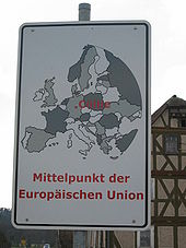 Cölbe would very much like to be the European Union's centre point
The Institute for Theoretical Geodesy in Bonn has ascertained that the European Union's centre point after the 2004 expansion lies at the coördinates 50°51′10″N 8°46′43″E / 50.85278°N 8.77861°E. This spot is to be found within Cölbe's municipal limits, 895 m from the community's own centre point. Newer efforts delving into this question, however, have yielded different results, putting the EU's centre point at Kleinmaischeid in the Westerwald.
References
- ^ "Die Bevölkerung der hessischen Gemeinden" (in German). Hessisches Statistisches Landesamt. 31 December 2010. http://www.statistik-hessen.de/static/publikationen/A/AI2_AII_AIII_AV_10-1hj_pdf.zip.
External links
- Official website
- Deutschlandradio Berlin: Reise zum Mittelpunkt Europas
- Cölbe at the Open Directory Project
- This article incorporates information from the German Wikipedia.
Towns and municipalities in the district of Marburg-Biedenkopf Amöneburg | Angelburg | Bad Endbach | Biedenkopf | Breidenbach | Cölbe | Dautphetal | Ebsdorfergrund | Fronhausen | Gladenbach | Kirchhain | Lahntal | Lohra | Marburg | Münchhausen | Neustadt | Rauschenberg | Stadtallendorf | Steffenberg | Weimar (Lahn) | Wetter | Wohratal Categories:
- Municipalities in Hesse
- Marburg-Biedenkopf


Wikimedia Foundation. 2010.