Ukhahlamba District Municipality
- Ukhahlamba District Municipality
Zamuni
code=
location=Eastern Cape
area=25 401
seat=Barkley East
neighbours=
mayor=
population=
population density=
habitations=
habitation density=
races=
languages=
website=http://www.ukhahlamba.co.za/
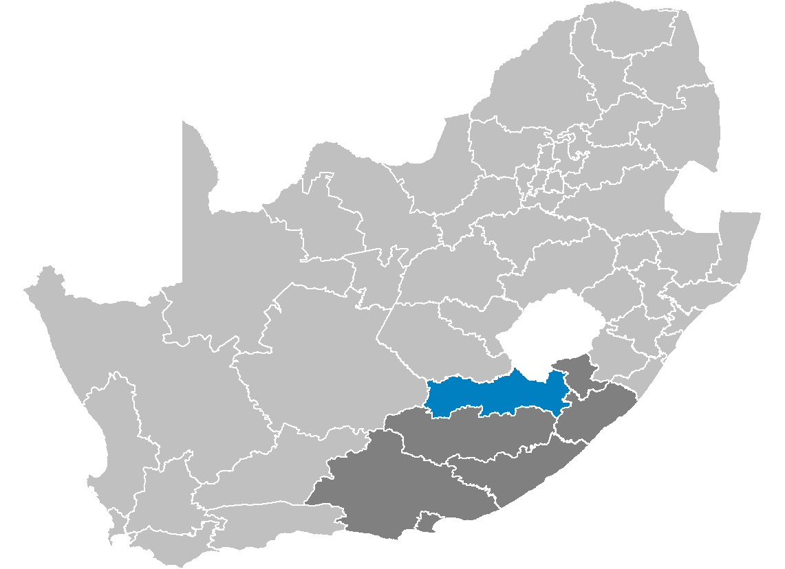
Ukhahlamba is one of the 7 districts of Eastern Cape province of South Africa. The seat of Ukhahlamba is Barkley East. The majority of its 341 337 people speak IsiXhosa (2001 Census). The district code is DC14.
Geography
Neighbours
Ukhahlamba is surrounded by:
* Xhariep (DC16) to the north
* the kingdom of Lesotho to the north-east
* Alfred Nzo (DC44) to the east
* OR Tambo (DC15) to the south-east
* Chris Hani (DC13) to the south
* Karoo (DC7) to the west
Local municipalities
The district contains the following local municipalities:
Ethnic group
References
* [http://www.demarcation.org.za/ Municipal Demarcation Board]
* [http://www.statssa.gov.za/census01/html/default.asp Stats SA Census 2001 page]
* [http://www.elections.org.za/Elections2004_Static.asp Independent Electoral Commission 2004 election results]
Wikimedia Foundation.
2010.
Look at other dictionaries:
OR Tambo District Municipality — District municipality L … Wikipedia
Chris Hani District Municipality — District municipality … Wikipedia
Ukhahlamba — District Municipality Ukhahlamba (blau) in Ostkap (dunkelgrau) Staat: Südafrika … Deutsch Wikipedia
Alfred Nzo District Municipality — Zamuni code=DC44 location=Eastern Cape area= seat=Mount Ayliff neighbours= mayor= population=550 392 population density= habitations= habitation density= races= languages=Xhosa website=Alfred Nzo is one of the 7 districts of Eastern Cape province … Wikipedia
Xhariep District Municipality — Xhariep is one of the 5 districts of Free State province of South Africa. The seat of Xhariep is Trompsburg. The largest language group in the 135 253 people is Afrikaans (2001 Census). The district code is DC16.GeographyNeighboursXhariep is… … Wikipedia
Pixley ka Seme District Municipality — Pixley ka Seme is one of the 5 districts of the Northern Cape province of South Africa. The seat of Pixley ka Seme is De Aar. The majority of its 164,608 people speak Afrikaans (2001 Census). The district code is DC7. GeographyNeighboursPixley ka … Wikipedia
Maletswai Local Municipality — Local municipality Loc … Wikipedia
Mbizana Local Municipality — Local municipality Location … Wikipedia
Ntabankulu Local Municipality — Ntabankulu Local municipality Location in the … Wikipedia
Mbhashe Local Municipality — Mbhashe Local municipality Location in the … Wikipedia