- Målselva
-
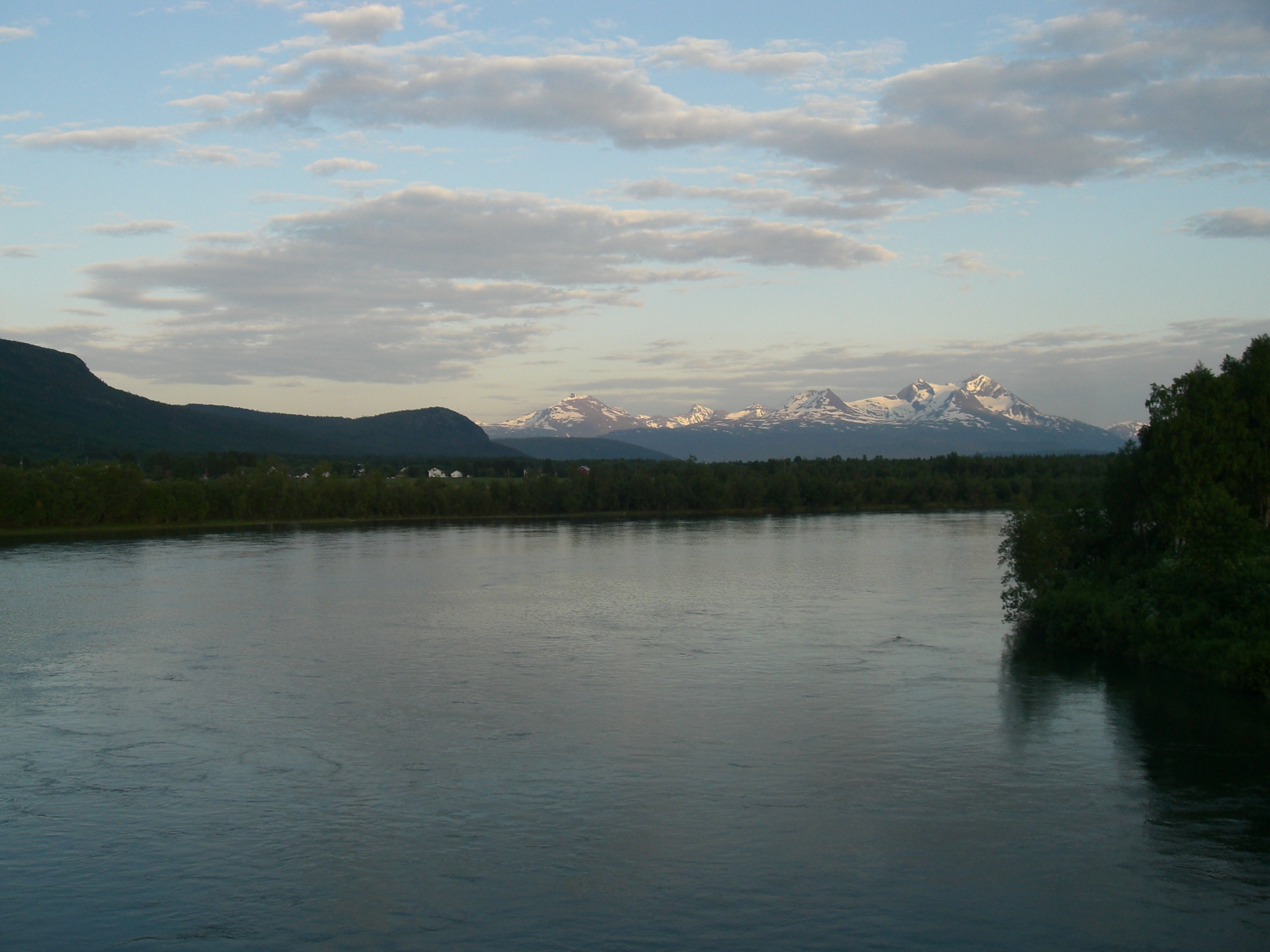
Målselva 
View of the Målselva riverOrigin Lille Rostavatn Mouth Malangen fjord Basin countries Norway Length 140 km (87 mi) Source elevation 102 m (335 ft) Mouth elevation 0 m (0 ft) Basin area 6,144 km2 (2,372 sq mi) The Målselva river in Troms county, Norway has given name to Målselv municipality and the Målselvdalen valley. The river empties into the in Målselvfjorden, an arm of the Malangen fjord, north of Olsborg. The rivers Divielva, Tamokelva, and Rostaelva converge near the Lille Rostavatn lake to form the Målselva. Later, the river Barduelva joins it. The river drains a watershed of 6,144 square kilometres (2,372 sq mi).[1] The Målselva river passes by the main villages of Bardufoss, Andselv, Øverbygd, and Skjold.
References
- ^ Store norske leksikon. "Målselva" (in Norwegian). http://www.snl.no/M%C3%A5lselva. Retrieved 2010-04-09.
External links
 Media related to Målselva at Wikimedia Commons
Categories:- Målselv
- Rivers of Troms
- Troms geography stubs
Wikimedia Foundation. 2010.