Codsall railway station — Codsall Location Place … Wikipedia
Dunstall Park railway station — Dunstall Park Down freight passing Dunstall Park station in 1958 Location … Wikipedia
Bilbrook, Staffordshire — Infobox UK place official name= Bilbrook country = England region = West Midlands area total km2 = 1396 population= 5,174 (Estimate 2004) population density= 3.68 os grid reference= SJ882029 map type= South Staffordshire latitude = 52.62443… … Wikipedia
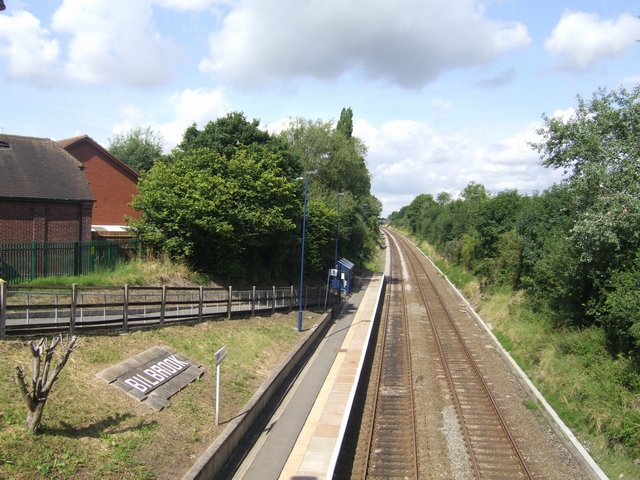
Birches Bridge — is part of Codsall near Wolverhampton, containing Bilbrook railway station and Birches Bridge Shopping Centre containing a branch of HSBC, Somerfield supermarket plus a large Esso petrol station … Wikipedia
List of bus routes in the West Midlands county — A map which shows the area these routes operate in. This is a list of all the Network West Midlands bus routes in the West Midlands, England. Contents 1 … Wikipedia
Wolverhampton — City City of Wolverhampton … Wikipedia
Codsall — Coordinates: 52°37′36″N 2°11′33″W / 52.62671°N 2.19237°W / 52.62671; 2.19237 … Wikipedia
Old Cleeve — Not to be confused with Cleeve, Somerset. Coordinates: 51°10′06″N 3°22′31″W / 51.1684°N 3.3753°W / 51.1684; 03.3753 … Wikipedia
Wolverhampton to Shrewsbury Line — The Wolverhampton to Shrewsbury Line is the railway line from Wolverhampton to Shrewsbury via Wellington, it was originally built by the Shrewsbury and Birmingham Railway. The line is double track throughout, with rarely used relief sidings at… … Wikipedia

