Walton Airport

Walton Airport

Coordinates: 31°29′41″N 074°20′46″E / 31.49472°N 74.34611°E / 31.49472; 74.34611

Walton Airport, Lahore
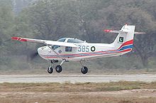
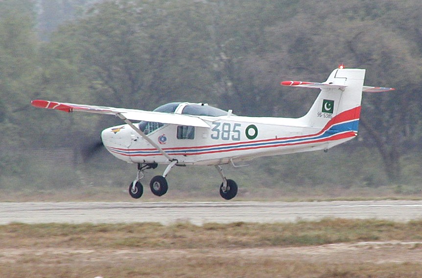
WaltonAirshowLahore1178.jpg
IATA: noneICAO: OPLH
Summary
Airport type Public
Operator Pakistan Civil Aviation Authority
Serves Lahore, Punjab, Pakistan
Elevation AMSL 679 ft / 207 m
Runways
Direction Length Surface
m ft
14/32 1,338 4,390 Concrete
Source: DAFIF[1]

Walton Airport (ICAO: OPLH) is situated near Model Town, 10 km (6 mi) from the city centre of Lahore, the capital of the Punjab province in Pakistan. It caters to general aviation and is used by several flying clubs. Lahore's main airport is Allama Iqbal International Airport.

See also

References

  1. ^ Airport information for OPLH at World Aero Data. Data current as of October 2006.Source: DAFIF.

External links


Wikimedia Foundation. 2010.

Игры ⚽ Поможем сделать НИР

Look at other dictionaries:

  • Walton Inn — (Monroe,США) Категория отеля: 2 звездочный отель Адрес: 409 James Huff Road, Monroe, GA 3 …   Каталог отелей

  • Allama Iqbal International Airport — Infobox Airport name = Allama Iqbal International Airport nativename = Lahore International Airport nativename a = علامہ اقبال بین الاقوامی ہوائی اڈا image width = caption = IATA = LHE ICAO = OPLA type = Public owner = operator = Pakistan Civil… …   Wikipedia

  • Destin-Fort Walton Beach Airport — IATA: DSI – ICAO: KDTS – FAA LID: DTS Summary Airport type Public Owner/Operator Okaloos …   Wikipedia

  • Fort Walton Beach, Florida — Infobox Settlement official name = Fort Walton Beach, Florida other name = native name = nickname = The Emerald Coast settlement type = City motto = imagesize = image caption = flag size = image seal size = image shield = shield size = image… …   Wikipedia

  • Panama City-Bay County International Airport — Infobox Airport name = Panama City Bay County International Airport IATA = PFN ICAO = KPFN FAA = PFN type = Public owner = Panama City Bay County Airport and Industrial District operator = city served = Panama City, Florida location = elevation f …   Wikipedia

  • DeFuniak Springs Airport — Coordinates: 30°43′52.0″N 086°09′13.6″W / 30.73111°N 86.153778°W / 30.73111; 86.153778 …   Wikipedia

  • Northwest Florida Regional Airport — Eglin Air Force Base USGS aerial photo as of 15 February 1999 IATA: VPS – ICAO: KVPS – FAA LID …   Wikipedia

  • George Bush Intercontinental Airport — Infobox Airport name = George Bush Intercontinental Airport |300px|thumb IATA = IAH ICAO = KIAH FAA = IAH type = Public owner oper = City of Houston Department of Aviation city served = Greater Houston location = Houston, Texas elevation f = 97… …   Wikipedia

  • Hartsfield-Jackson Atlanta International Airport — Infobox Airport name = Hartsfield Jackson Atlanta International Airport IATA = ATL ICAO = KATL FAA = ATL type = Public owner = City of Atlanta operator = Department of Aviation city served = Atlanta, Georgia location = College Park, East Point,… …   Wikipedia

  • Palm Beach International Airport — IATA: PBI – ICAO: KPBI – FAA LID: PBI …   Wikipedia

Share the article and excerpts

Direct link
Do a right-click on the link above
and select “Copy Link”