- Noord Deurningen
-
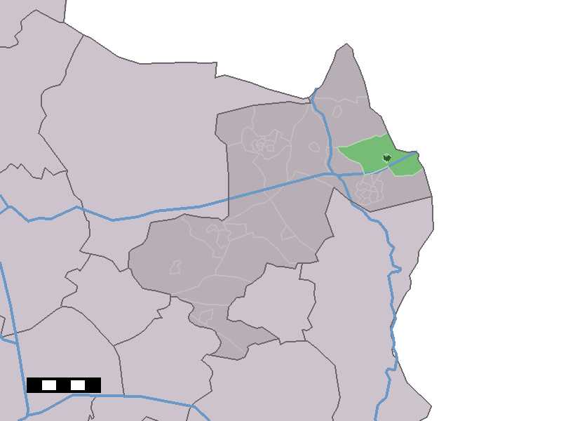
Noord Deurningen — Town —  The town centre (dark green) and the statistical district (light green) of Noord Deurningen in the municipality of Dinkelland.
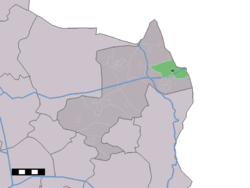
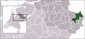
Coordinates: 52°23′49″N 7°1′31″E / 52.39694°N 7.02528°ECoordinates: 52°23′49″N 7°1′31″E / 52.39694°N 7.02528°E Country Netherlands Province Overijssel Municipality Dinkelland Population – Total 1,010 Demonym Noord-Deurningers Time zone CET (UTC+1) – Summer (DST) CEST (UTC+2) Postal code Noord Deurningen is a town in the Dutch province of Overijssel. It is a part of the municipality of Dinkelland, and lies about 11 km northeast of Oldenzaal.
In 2001, the town of Noord Deurningen had 354 inhabitants. The built-up area of the town was 0.12 km², and contained 130 residences.[1] The statistical area "Noord Deurningen", which also can include the peripheral parts of the village, as well as the surrounding countryside, has a population of around 1010.[2]
References
- ^ Statistics Netherlands (CBS), Bevolkingskernen in Nederland 2001. (Statistics are for the continuous built-up area).
- ^ Statistics Netherlands (CBS), Statline: Kerncijfers wijken en buurten 2003-2005. As of 1 January 2005.
Categories:- Populated places in Overijssel
- Overijssel geography stubs
Wikimedia Foundation. 2010.