- Mount Yasur
-
Coordinates: 19°31′42″S 169°26′54″E / 19.52833°S 169.44833°E
Mount Yasur 
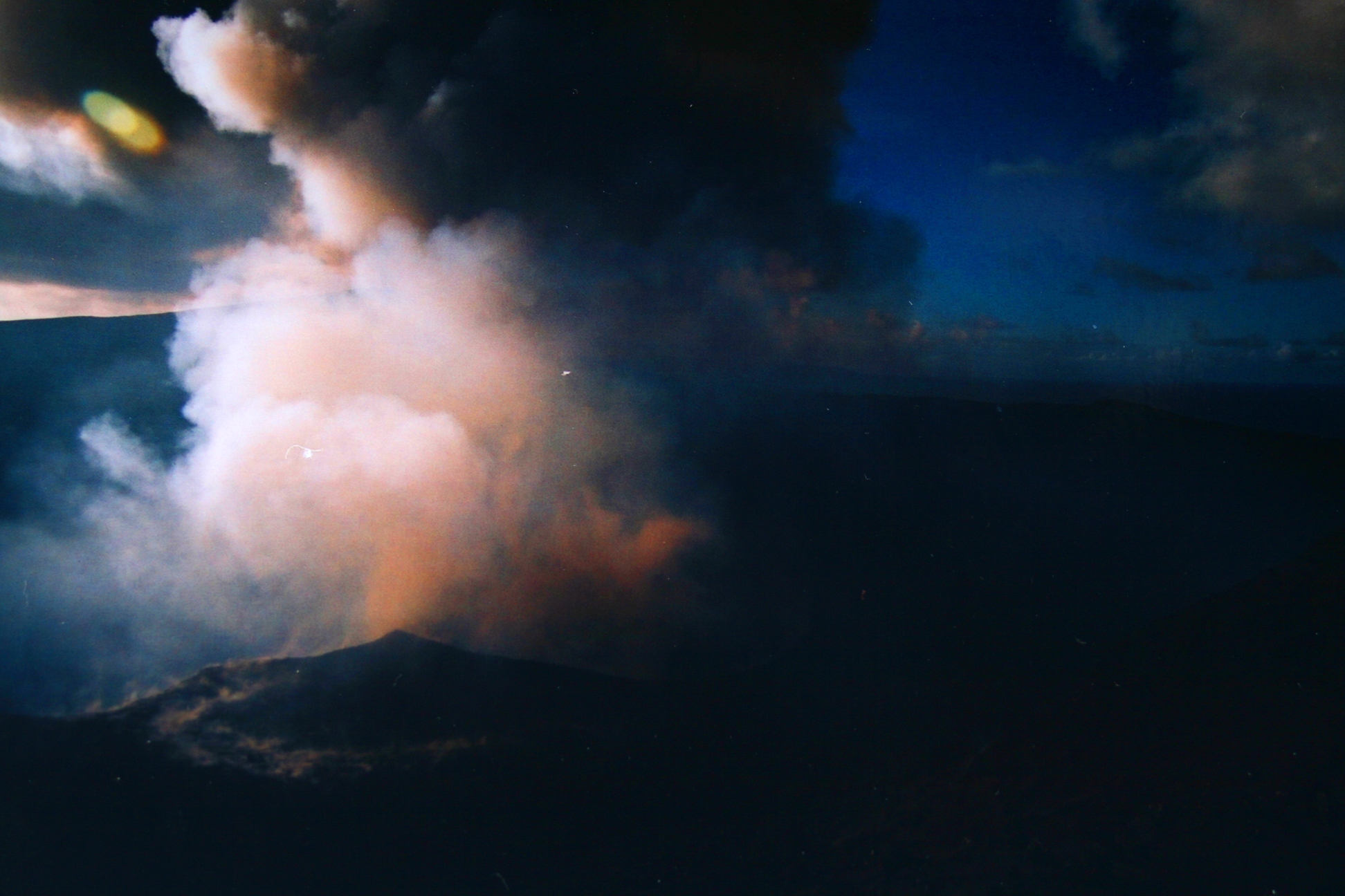
Mount Yasur, April 2006Elevation 361 m (1,184 ft) Location Location Tanna, Vanuatu Coordinates 19°31′42″S 169°26′54″E / 19.52833°S 169.44833°E Geology Type Stratovolcano Last eruption 2011 (ongoing) Mount Yasur is an active volcano on Tanna Island, Vanuatu (lat/long 19.52 S, 169.43 E) with a height of 361 m (1,184 ft) above sea level, located on the coast near Sulphur Bay. It lies to the southeast of the taller Mount Tukosmera, which was active in the Pleistocene. It has a largely unvegetated pyroclastic cone with a nearly-circular summit crater 400 m in diameter. It is a stratovolcano, caused by the eastward-moving Indo-Australian Plate being subducted under the westward-moving Pacific Plate. It has been erupting nearly continuously for centuries, although it can usually be approached safely. Its eruptions, which often occur several times an hour, are classified as Strombolian or Vulcanian.
The glow of the volcano was apparently what attracted Captain James Cook on the first European journey to the island in 1774. Today the mountain is a sacred area for the John Frum cargo cult. Members of the cult revere John Frum, a deified messenger who foretold the bringing of wealth to the island by American forces, and believe he resides in Mount Yasur with his countrymen. The village of Sulphur Bay, the center of the movement, claims the volcano as part of their territory.
Because of the importance of the volcano to the tourism industry in Tanna, the local government has created levels to restrict people's access:
Level 0 - Low activity, access to the crater allowed; Level 1 - Normal activity, access to the crater allowed; Level 2 - Moderate to high activity, lava bombs may land beyond the crater rim, access to the crater is closed; Level 3 - Severe activity with loud explosions, lava bombs ejected up to hundreds of metres outside the crater and large plumes of smoke and ash, access to the summit zone is closed; Level 4 - Major eruption affecting large areas around the volcano and possibly other parts of Tanna and even neighbouring islands, all access closed.
Gallery
-

The crater of Mount Yasur
-
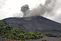
Mount Yasur by day
References
- "Yasur". Global Volcanism Program, Smithsonian Institution. http://www.volcano.si.edu/world/volcano.cfm?vnum=0507-10=.
External links
Categories:- Active volcanoes
- Mountains of Vanuatu
- Stratovolcanoes
- Volcanoes of Vanuatu
-


Wikimedia Foundation. 2010.