- Wakenda, Missouri
Infobox Settlement
official_name = Wakenda, Missouri
settlement_type = Township
nickname =
motto =
imagesize =
image_caption =
image_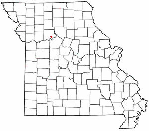
mapsize = 250x200px
map_caption = right
mapsize1 =
map_caption1 =subdivision_type = Country
subdivision_name =United States
subdivision_type1 = State
subdivision_name1 =Missouri
subdivision_type2 = County
subdivision_name2 = Carroll
government_footnotes =
government_type =
leader_title =
leader_name =
leader_title1 =
leader_name1 =
established_title =
established_date =unit_pref = Imperial
area_footnotes =area_magnitude =
area_total_km2 = 84.1
area_land_km2 = 82.0
area_water_km2 = 2.1
area_total_sq_mi = 32.5
area_land_sq_mi = 31.7
area_water_sq_mi = 0.8population_as_of = 2000
population_footnotes =
population_total = 467
population_density_km2 = 5.7
population_density_sq_mi = 14.7timezone = Central (CST)
utc_offset = -6
timezone_DST = CDT
utc_offset_DST = -5
elevation_footnotes =
elevation_m = 199
elevation_ft = 653
latd = 39 |latm = 19 |lats = 56 |latNS = N
longd = 93 |longm = 29 |longs = 14 |longEW = Wpostal_code_type =
ZIP code
postal_code = 64687
area_code = 660
blank_name = FIPS code
blank_info = 29-76552GR|2
blank1_name = GNIS feature ID
blank1_info = 0766424GR|3
website =
footnotes =Wakenda is an unincorporated community in
Carroll County, Missouri . It is located onMissouri Supplemental Route B about eight miles southeast of Carrollton. The community was founded in1869 and is named after the Siouan name forGod or theGreat Spirit .The community was destroyed in the summer of 1993 during the Great Missouri River Flood. A simple stone marker alongside Route B honors the fallen great city. There is still currently a grain elevator for the local grain growers and a household of three. There is also a small auto repair shop and the remnents of the old city jailhouse.
References
Wikimedia Foundation. 2010.