- Cottle (VTA)
-
Cottle
VTA light rail stationStation statistics Address Cottle Road at Highway 85
San Jose, CaliforniaCoordinates 37°14′34″N 121°48′10″W / 37.242688°N 121.802888°WCoordinates: 37°14′34″N 121°48′10″W / 37.242688°N 121.802888°W Lines Alum Rock–Santa TeresaConnections Bus Routes 27, 68 Parking 421 spaces Other information Opened 1987 Accessible 
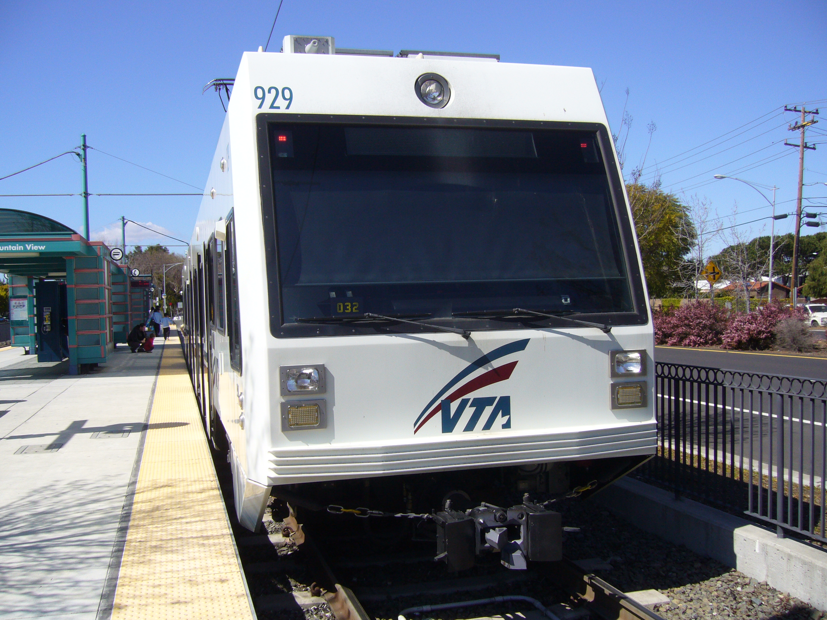
Owned by VTA Services Preceding station VTA Light Rail Following station toward Alum RockAlum Rock–Santa Teresa TerminusCottle is a light rail station operated by Santa Clara Valley Transportation Authority (VTA). This station is served by VTA's Alum Rock–Santa Teresa line. It was part of the original Guadalupé Line, the first segment of light rail from Santa Teresa to Tasman.
Contents
Location
Cottle station is located in the median of State Route 85, near Cottle Road in the southern part of San Jose, California. It is located very close (one mile) to Caltrain's Blossom Hill station, and is even closer to the local hospital and to the Hitachi Global Storage Technologies campus in South San Jose. Since the Caltrain only serves this area in rush hours on weekdays, the light rail service may be used in other hours, although it is slower. The Blossom Hill Caltrain station is about one mile (1.6 km) from Cottle.
Station amenities
- Bicycle parking
- Payphone
- Park and Ride Lot
- Wheelchair accessible
Connecting transit
Notes
- The station is also served by shuttles to the local Kaiser hospital and to the Hitachi campus.
- The station is about one mile (1.6 km) from Caltrain's Blossom Hill stop; since Caltrain only serves this station in peak direction during rush hours, the slower light rail service can be used at other times.
External links
- Cottle Light Rail Station page at VTA

VTA Light Rail Stations Almaden • Alum Rock • Bascom • Baypointe • Bayshore/NASA • Berryessa • Blossom Hill • Bonaventura • Borregas • Branham • Capitol • Champion • Children's Discovery Museum • Cisco Way • Civic Center • Component • Convention Center • Cottle • Cropley • Crossman • Curtner • Downtown Campbell • Downtown Mountain View • Evelyn • Fair Oaks • Fruitdale • Gish • Great America • Great Mall/Main • Hamilton • Hostetter • I-880/Milpitas • Japantown/Ayer • Karina • Lick Mill • Lockheed Martin • McKee • Metro/Airport • Middlefield • Moffett Park • Montague • Oakridge • Ohlone/Chynoweth • Old Ironsides • Orchard • Paseo de San Antonio • Penitencia Creek • Race • Reamwood • River Oaks • Saint James • San Jose Diridon • San Fernando • Santa Clara • Santa Teresa • Snell • Tamien • Tasman • Vienna • Virginia • Whisman • WinchesterConnecting services Other Categories:- Santa Clara Valley Transportation Authority light rail stations
- Santa Clara Valley Transportation Authority bus stations
- Railway stations in San Jose, California
- Tram stubs
- California railway station stubs
Wikimedia Foundation. 2010.