- Okučani
-
 OkučaniOkučani (Croatia)
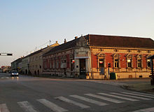 Okučani.
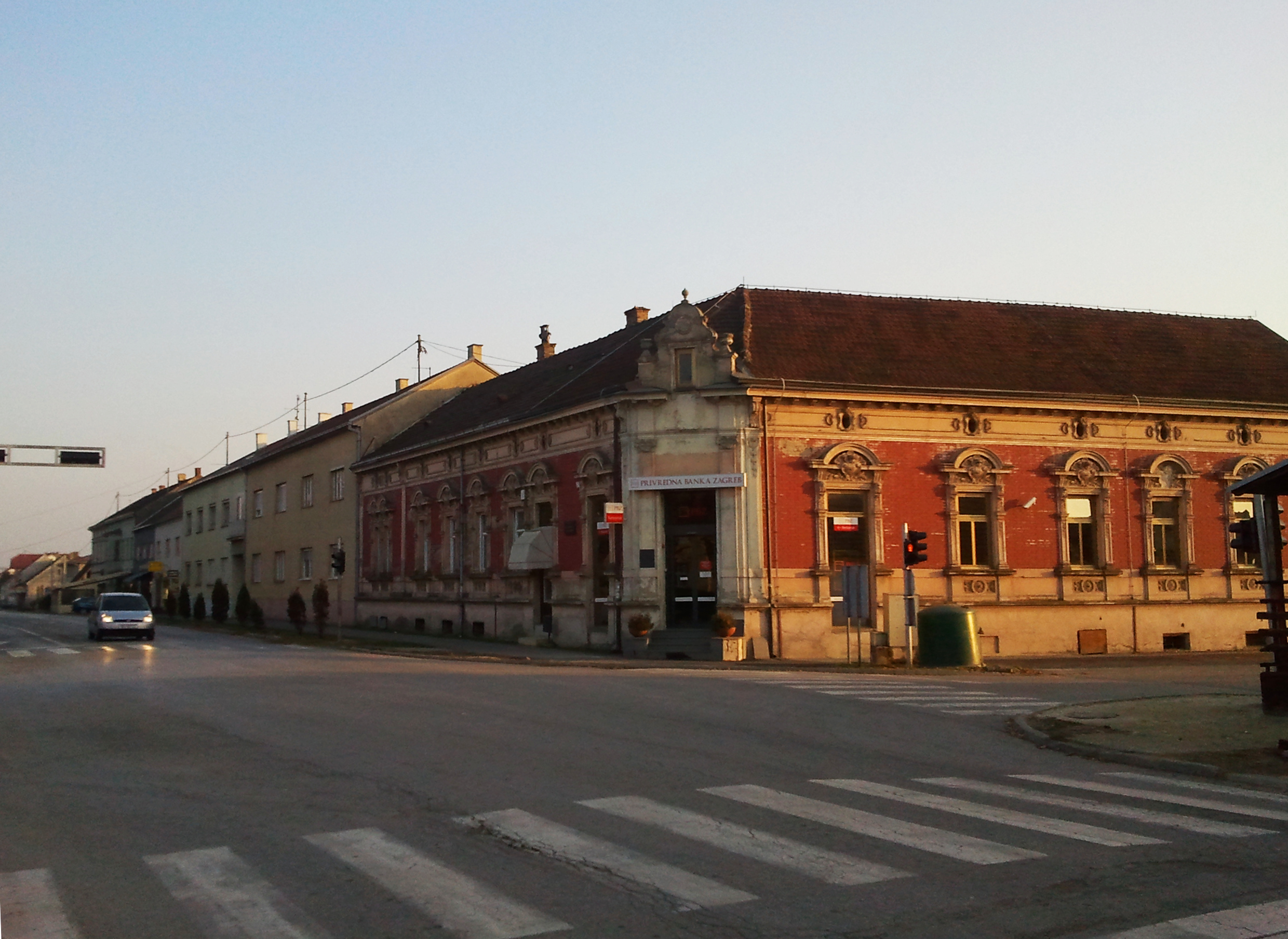
Okučani is a village in western Slavonia, Croatia. It is located at the contact point between the Posavina plain and the southern slopes of Psunj; 19 km southeast of Novska and 17 km west of Nova Gradiška; elevation 119 m. Chief occupations are farming, livestock breeding, fishing and wood processing. It has a population of 4,224 according to the 2001 census. Croats make 76% of the population and Serbs make 21% of the population.
The town is an important road intersection immediately along the Posavina highway and the railway, from which the road of international importance branches off towards Virovitica and Banja Luka. An interesting stele can be seen in Mramorno Polje near Vrbovljani.
There is a small fishpond near the town. Psunj Mountain stretches to the northeast of the town, offering fine hiking and walking opportunities.
Okučani was captured and incorporated into the Serbian Autonomous Oblast of Western Slavonia early in the Croatian War for Independence. After joining the unrecognized Republic of Serbian Krajina Okučani and the rest of the pocket came under Croatian control after Operation Flash on May 1, 1995.
External links
Subdivisions of Brod-Posavina County Cities and towns 
Municipalities Bebrina · Brodski Stupnik · Bukovlje · Cernik · Davor · Donji Andrijevci · Dragalić · Garčin · Gornja Vrba · Gornji Bogićevci · Gundinci · Klakar · Nova Kapela · Okučani · Oprisavci · Oriovac · Podcrkavlje · Rešetari · Sibinj · Sikirevci · Slavonski Šamac · Stara Gradiška · Staro Petrovo Selo · Velika Kopanica · Vrbje · VrpoljeCategories:- Populated places in Brod-Posavina County
- Slavonia
- Municipalities of Croatia


Wikimedia Foundation. 2010.